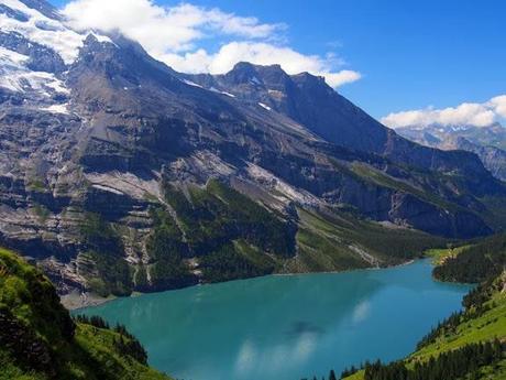
Now here’s a great shot! This is a view of the Oeschinensee on the trail between Kandersteg and Griesalp in Switzerland’s famed Berner Oberland region. Guests on this past summer’s Eiger Trail scored back-to-back blue bird days with endless views like this one.
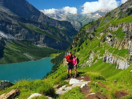
Here’s a shot of some happy hikers on the climb to the Hohtürli Pass.
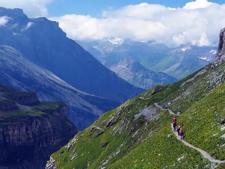
The trail is much higher here. In this photo, hikers from another group descend toward Kandersteg and the Oeschinensee, which sit far below.
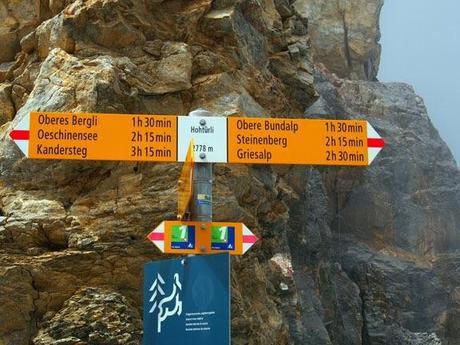
Here’s the trail sign at the top of the Hohtürli, elevation 2,778 meters, or 9,114 feet. The hike doesn’t end here, however. The trail continues to the Blümlisalphütte (2,834 meters), where large carafes of wine and huge pans of Käseschnitte await. Then it’s back down to Griesalp (2 hours and 30 minutes on the sign post) and our cozy home for the night.
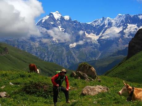
Ken Fuhrer stopped for a photo shoot on the following day’s hike from Griesalp to Mürren.
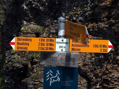
The trail crosses over the Sefinenfurgge (2,612 meters).
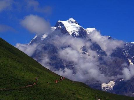
In this parting shot, our group continues their descent toward Mürren. The prominent peak in the background is called the Jungfrau (4,158 meters). Just behind it and to the left is the Eiger (3,979 meters), the peak for which our Eiger Trail hiking tour is named.
Photos by Ken Fuhrer

