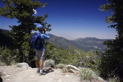
Mount Pinos. View to the northeast, across the San Andreas Fault
Mount Pinos, just 90 miles north of the heart of Los Angeles, is one of Southern California’s best kept secrets. In the Los Padres National Forest, on the border of Kern and Ventura Counties, it is the perfect place to get away from city life and immerse oneself in the natural world.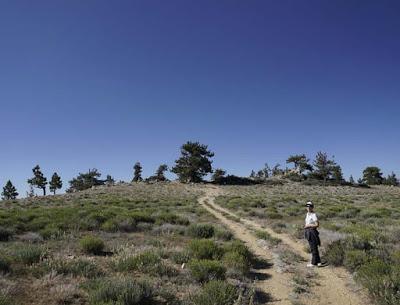
Trail to our favorite picnic spot
At 8,848 feet elevation Mount Pinos is the tallest mountain in the Tehachapis. The indigenous Chumash tribe still considers Mount Pinos a sacred site. From the top one looks west toward the coastal range, south across the Tehachapis, and north across the San Andreas fault toward the Central Valley.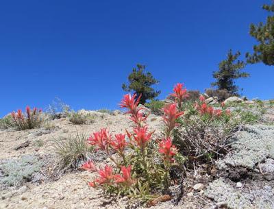
Indian paintbrush
On a clear winter day one can see the snow capped peaks of the Sierras fifty miles away. In spring and summer, wildflowers bloom on the open slopes. It is one of our favorite places to hike--summer, fall, winter, spring-- and only an hour and a half drive from Los Angeles. After following the long, winding road up the mountain from Frazier Park, we park in a large lot at the beginning of the trailhead. (The parking lot is a favorite for star gazing because of the clear air and relative lack of light pollution. We have often arrived at the parking lot to find it full of telescopes and stargazers resting as they wait for night to fall.)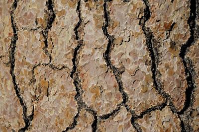
The bark of the Jeffrey pines have a characteristic caramel smell.
The path starts out through a forest of tall Jeffrey pines and ends up on the open, rocky slopes of the summit.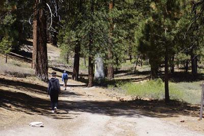
Beginning of the trail
The hike to the summit is about two miles from the parking area, or about four miles round trip. The trail gradually ascends. We usually take a picnic lunch and stop at our favorite overlook.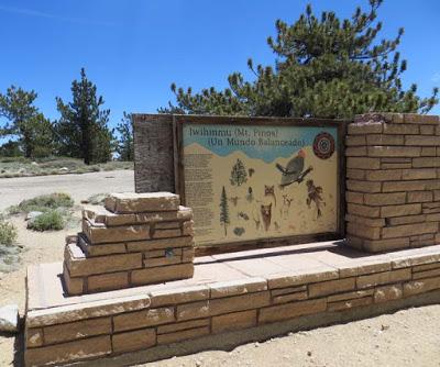
Informational display at the summit
Mount Pinos, "Iwihinmu" in the Chumash language, was considered by the Chumash Native Americans to be the center of the world ("Liyikshup"), the point where everything was in balance. A display at the summit provides information about the Chumash and the animals of the region. Another marker honors Vincent Tumamait, a beloved Chumash story teller.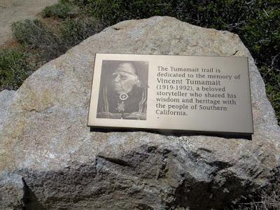
Memorial to Vincent Tumamait
The trail continues from the summit to Mount Abel, six miles to the west. We have done that hike several times (a fairly strenuous up and down trail) and arranged to be picked up at the other end. But most often, our goal is the top of Mount Pinos, always an inspiration.For information about hiking and other activities on Mount Pinos, click HERE.
