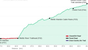
Miette River Trailhead/Jasper (577.7mi/929.7km)-1km before Miette/Centre Pass Junction(596.9mi/960.6)Daily Distance: 19.2mi/30.9kmCampsite Elevation: 6035ft/1839m
Elevation profile created by Zdenek on his 2014 GDT hike Thank you for allowing me to share these Zdenek!
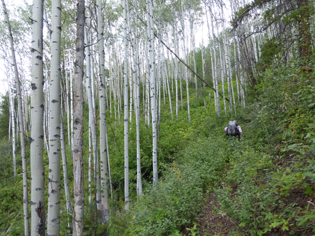
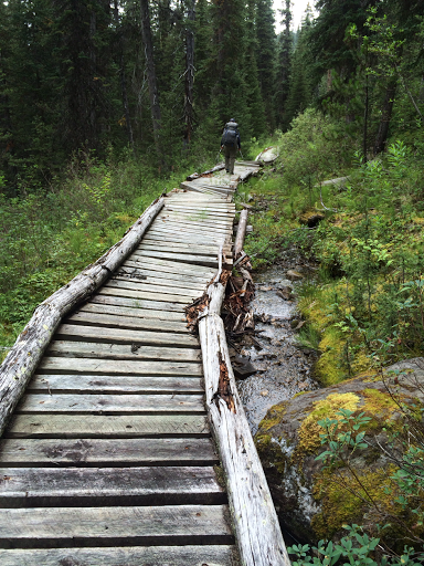
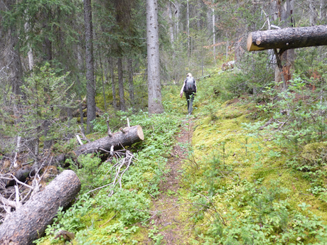 After that stretch, the last couple hours of the the day were in a marshy alpine meadow area. You didn't think we'd get through a day with dry shoes did you!? Good news is that the boggy marshy stuff wasn't as bad as we anticipated.
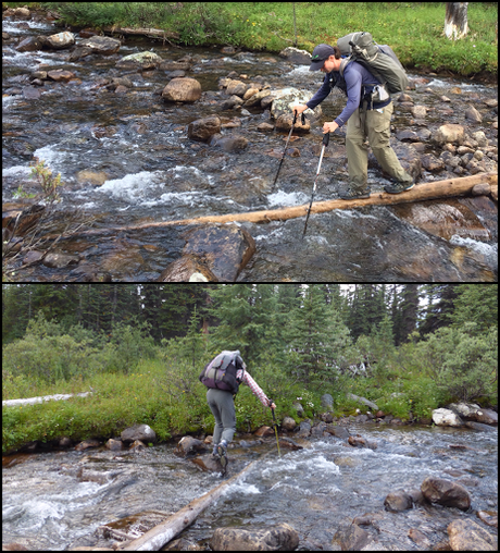
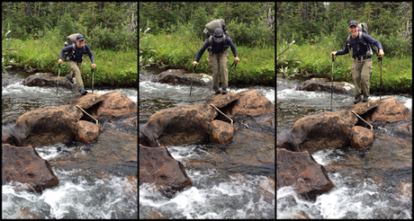
Before we got soaked in the boggy stuff, we had fun creating our own ways across streams with dead wood and rocks. By the time we crossed, it was probably more time than taking our shoes off and putting them back on, but we had more fun our way.
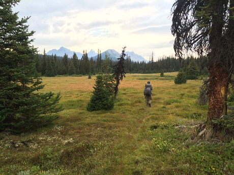
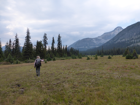
 It was actually more open and scenic in the boggy areas than we expected and we enjoyed it. Great expansive views of mountains around us. The trail was quite faint through the meadows. It disappeared at times, but we'd find it after a bit of searching. There were blazes at times or notches in trees to help guide the way at times.
  It was hazy all day with and we could smell a fire when the wind blew. That's always concerning and we are hoping it isn't large or anywhere we're headed.
  We hiked til 7pm and stopped at a spot near a stream that was nice and cushiony without brush. It was a great spot and we even could see some of the mountains around us, but it was difficult to capture it in a photo.
 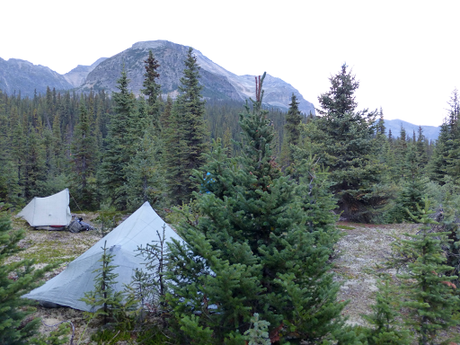 We've gotten used to having hanging cables for our food, and it took some time to find a good tree and get the food up there. I'm pretty wiped out. I've been spoiled by the past leg of stopping early to camp. I've got to get back into this routine of fuller days now that we're free to stop wherever we like. Probably no more shows at night for this trip...