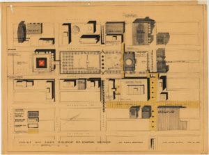
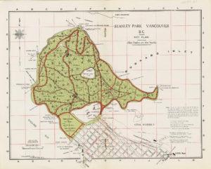
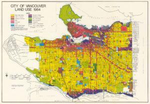
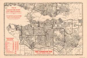
The City of Vancouver Archives (official repository for the records of the City of Vancouver) contains over 4000 Vancouver historic maps and plans that they have repaired, restored and scanned in JPG and TIF formats (TIF versions available for download via FTP), and made them freely available to the public to use. The collection is searchable and view-able in full resolution through their online database.
Vancouver Historic Maps and Plans
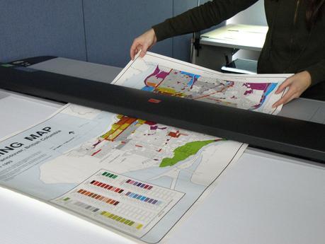
They have been making high-resolution scans of maps in their holdings since 2011 and recently completed a project where they digitized over 2100 maps and plans and made them available free online. The maps and plans collection is searchable and view-able in full resolution using their online database.
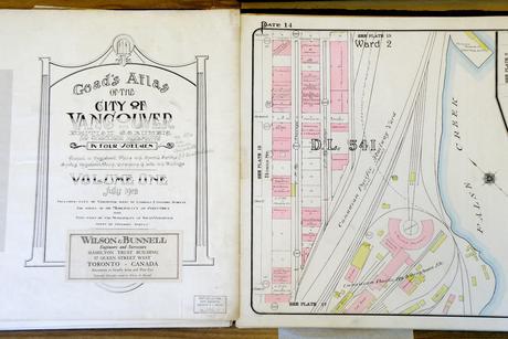
1912 Goad’s Atlas
One of the collections in the Vancouver archives is the 1912 Goad’s Atlas which shows every single building in the city at that time, the old streetcar lines, and the location of long-gone piers that were located along the waterfront. Goad’s Atlas was used at the time by insurance companies that were trying to assess the risk of a property to fire damage, to determine fire insurance liability. The digitizing of the 1912 Goad’s Atlas earned the project a BC Heritage award in the Heritage Education & Awareness category.
The 1912 Goad’s Atlas maps was also added to Vanmap, the city’s online mapping application and made available to download via the Vancouver’s open data catalogue. The Vanmap interactive map allows people to search for all sorts of spatial data of Vancouver and surrounding areas including recent orthophotography.
You can search for Vancouver historic maps and plans by going to the City of Vancouver Archives website: http://searcharchives.vancouver.ca
Also Check Out ...
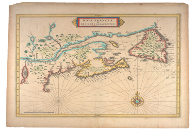
In 1971-72 Dr. William Howard Pugsley, donated his collection of early Canadian maps that he had collected during the late 1930s and World War II. Download digital scans of these 50 early Canadian historical maps published between 1556 to 1857 that help explain the discovery and exploration of early North America.
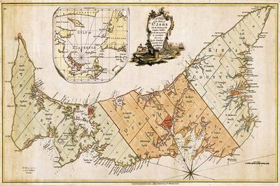
The “Island Register” website is an amazing online resource for information on Prince Edward Island genealogy, with a database with more then 1150 lineages and 4500 documents, including photos, maps, ship logs and much more. Some of the scanned maps that you can download include …
Maps that show How Important Canada is 7 Maps that show how important Canada is [source: Business Insider CandianGEO.info/1XWPndh] Canada is one of the top energy producers in the world. Our country is simply huge, with a sprawling vast wilderness landscape. This video will show you how truly expansive Canada is with 7 maps …
Antipodes Maps
