TRX Coordinate Transformation Tool
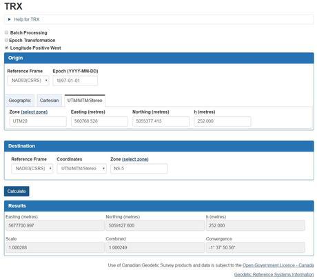
TRX is a free online coordinates transformation tool that combines and replaces GSRUG (Geodetic Survey Routine UTM/TM Geographic) and TRNOBS (Transformation & Observations). TRX allows users to transform coordinate values between different geometric reference frames such as NAD83(CSRS) & ITRF), epochs and coordinate systems such as geographic, cartesian and local projections systems.
Several coordinate systems such as geographic, cartesian and UTM / MTM / (UTM, MTM, stereographic and custom projections) are available to use. All coordinate fields are required in the chosen coordinate system, except heights. The free tool is provided by the Canadian Geodetic Survey of Natural Resources Canada and is subject to the Canadian Open Government Licence.
Using TRX to transform your coordinates is pretty simple, simply select the origin reference frame and epoch, as well as the origin coordinates system. Then select your destination reference frame and epoch, as well as the destination coordinates system. Then click the Calculate button. If you want to have the horizontal and vertical velocities outputted then be sure to check the Epoch Transformation box found above the origin coordinates section.
Click here to get started with TRX Coordinate Transformation Tool

By canadiangisFiled in: Geospatial Resources, GIS toolsTags: Geodetic Survey, GSRUG, MTM, Natural Resources Canada, stereographic, TRNOBS, TRX, UTM
Also Check Out ...

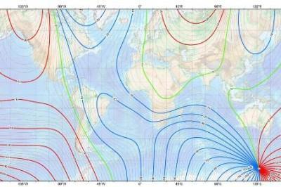
Magnetic declination varies depending on where you are located on the Earth’s surface, and varies over time. Here is a handy free online magnetic declination calculator that can be used to calculate magnetic declination for any location and date based on the International Geomagnetic Reference Field model.

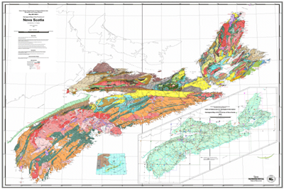
Data is a vital role in geomatics related projects and for many years we have been helping people find Canadian data resources. Here you will find a large list of Nova Scotia Mapping Resources …

Geomatics Analytical Technicians typically have working knowledge with demonstrated experience using GIS software, development of specialized cartography products, and provide support to other GIS users. Want to know what a typical Geomatics Analytical Technician job entails?
The Amazing MapMan coloring book
