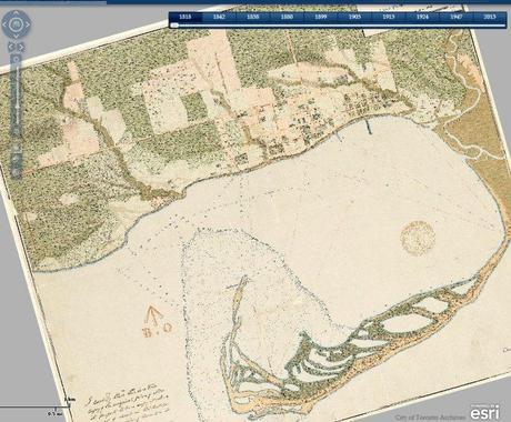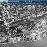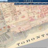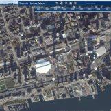
Recently I discovered an online mapping tool of Toronto was created by historical maps enthusiast Nathan Ng and Chris Olsen from Esri. The free application provides users the ability to compare locations in Toronto through various periods of time from 2013 back to 1818. A range of historical paper maps (and some aerial photography) from the Toronto Library and Toronto archives were georeferenced, mosaiked and then combined into different layers so that they could be compared with one another with a simple easy to use interface that anyone could use. A search tool is provided to allow users to zoom into areas of interest.
Check out the Historic Toronto Maps application for yourself


Related
March 5, 2014 | tmackinnon- Historic Cartography

