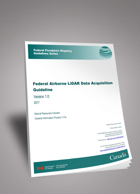
The Federal Government recently published the " Federal Airborne LiDAR Data Acquisition Guideline " in support of LiDAR data acquisitions. The document was developed under the leadership of the Flood Mapping Committee, a partnership between several Government Departments and a Technical Working Group on Flood Mapping comprised of key stakeholders from both federal and provincial jurisdictions, as well as the private sector and academia.

The document promotes the acquisition, the sharing and re-usability of LiDAR data - especially for wide-ranging projects that overlap many jurisdictions. It is reflective of the best practices in LiDAR acquisition at the time of the document release (2017). Natural Resources Canada intends to update the document periodically as the industry develops.
The guideline has been made available to download free:
https://doi.org/10.4095/304669

