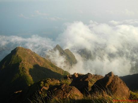
For us, climbing mountains is more than just a sport. It is foremost a spiritual experience. We ascend mountains to seek an understanding of our place in this world, an explanation of our life’s purpose, a deep exploration of our souls, and an opportunity to face our fears. Mt. Guiting-Guiting, the toughest mountain we ever climbed, provided us an unforgettable and meaningful lesson of the soul.
Since we slept early before sunset the day before, we were up (rejuvenated, we might add) by 1AM. We quickly packed up, picked up after ourselves, and said goodbye to the 3-man Manila team who camped with us.
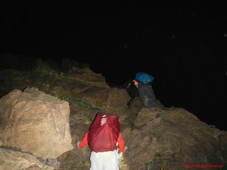
By 1:45AM, we were scrambling up on large, sharp, and cold boulders way to Mt. Guiting-Guiting’s summit. The higher we climbed, the more we got buffeted by freezing pre-dawn winds.
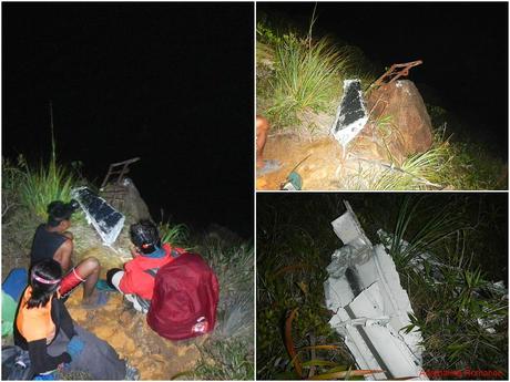
After climbing for two hours, we rested on what locals call the Crash Site. Years ago, an aircraft plunged to its destruction in these slopes, and all that remained are parts and pieces of it. Earlier during our conversation with Ate Ville, she said that Mt. Guiting-guiting has magnetic properties, which meant the mountain “pulled” the aircraft to its doom.
Before leaving the Crash Site, we had a moment of silence to pay respect to the people who lost their lives in the crash.
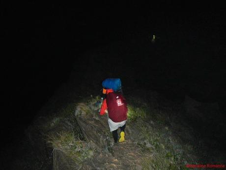
The farther and higher we climbed, the more treacherous the rocky trail became. Just imagine: we were climbing in total darkness in, what we sensed, a narrow knife-edge trail. Yes, there were extremely deep ravines in either side of the trail!
As if that was not dangerous enough, freezing gale-force gusts threatened to blow us off the trail; often, we had to hold on tight to razor-sharp rocks until the gust passes.
Then, just like a beautiful ray of hope, a welcoming purple glow of dawn slowly lit the sky around Sibuyan Island as we neared the summit.
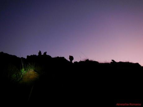
Each lovely sunrise is unique and promises another day of fun, excitement, and wonders. Our notions of doubt, desperation, hopelessness, and negativity are easily shattered every time we see a stunning sunrise like this.
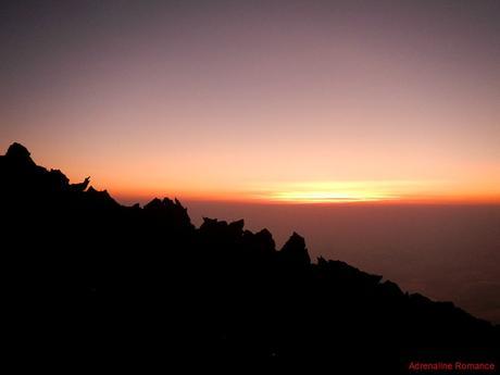
As the sun slowly emerged from its resting place in the horizon, we were finally able to see the trail summit, which is riddled with irregularly shaped boulders the size of Volkswagen Beetles.
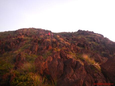
After more than three hours of climbing in the darkness, being beaten by strong winds, and sustaining a few cuts and bruises while scrambling, we finally set foot on Mt. Guiting-guiting’s sacred summit! It was a moment of immense triumph although we were technically only halfway through our adventure.
We had the honor of being the first team to summit that day.
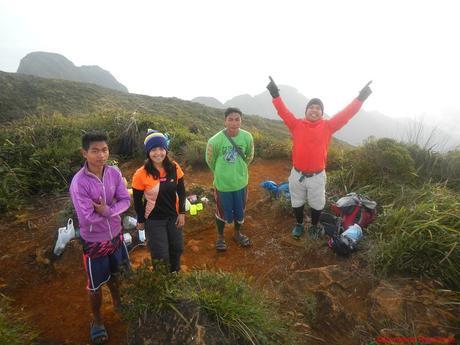
Hurriedly, we prepared coffee and reheated our pre-cooked breakfast. The summit was so cold and windy that we had to use the rocks and bushes as wind buffers. It must be no more than 5 degrees Celsius during that morning.
Sweetie must be a superhuman; she was only wearing a thin dry-fit shirt while Angie, Andrew, Halourd, and I wore warm sweaters and thick winter jackets to ward off the cold. Our guide and porter even had to hide behind some boulders and bushes to shield themselves from the wind chill.
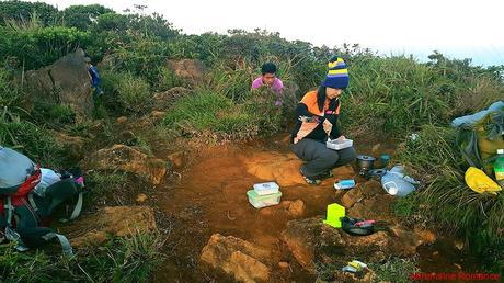
(Photo credit: Halourd)
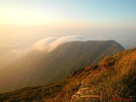
From the north, a wave of clouds gently flowed over G2’s verdant slope. The scenery looks totally heavenly as it is lit by the rising sun. We felt fortunate to be able to see natural spectacles like this.
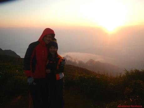
That’s two adventure-loving sweethearts at the very top of one of the most difficult mountains in the Philippines enjoying a magnificent sunrise.
Look at us! I’m bundled in a thick winter jacket while Sweetie felt comfortable with just a dry-fit shirt!
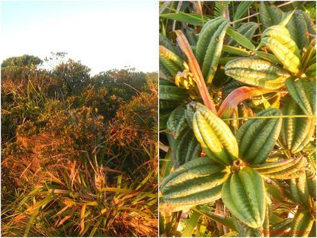
While waiting for our coffee to boil, we took time to explore the summit area. The surrounding scenery was a sight to behold, but the bushes and thickets around the peak were equally amazing. We saw foliage with strangely shaped stout and thick leaves; these are flora we’ve never seen before in all the mountains we climbed.
After finishing up a warm breakfast, we were ready to commence the next stage of our adventure—the long, arduous, and dangerous traverse to Mayo’s Peak. It was here when we suddenly realized that a G2 traverse is not just about climbing and descending a mounting. It is a trek across an entire mountain range!
With all our stuff packed, we proceeded down the summit and towards the Peak of Deception, which can be seen in the photo below.
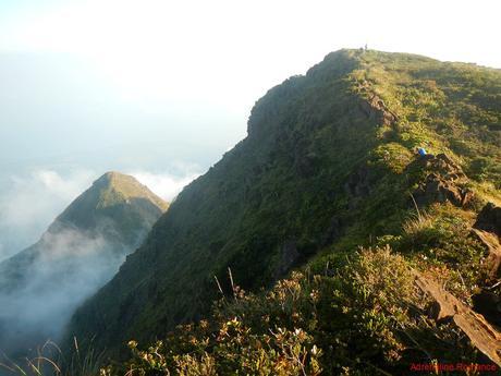
A few minutes after leaving the summit, the three-man Manila team who shared the same route with us successfully reached the glorious peak.
Also, check out the ridge at the background; that’s the treacherous, rocky knife-edge terrain that we traversed in the wee hours of the morning.
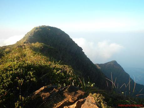
It’s not every day that we can step on a mountain like Mt. Guiting-guiting. The adventure is as dangerous as it is exhilarating. Just look at the photo below; that’s a thin ridge above the clouds!
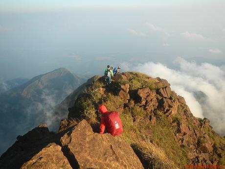
Check out the extremely steep slopes of the mountain. The steepness of the slopes makes exploiting the forest virtually impossible or extremely difficult. Thus, most of the original forest in Mt. Guiting-guiting remains untouched to this day.
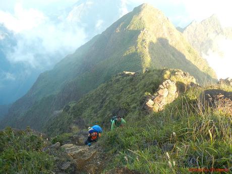
At 2,058 meters above sea level and virtually isolated from the rest of the Philippines, Mt. Guiting-Guiting is certainly a sky island. The high altitude creates an entirely different environment than in the lowlands. Thus, relict populations of flora and fauna as well as endimism are just some of the natural phenomena found at the ridges and slopes of the mountain.
In fact, according to scientists, there are 131 species of bats, birds, reptiles, and other animals that are not yet fully cataloged. That is how isolated and majestic this place is.
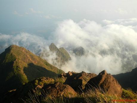
To exit the summit and access the rock-strewn trail that leads to the Peak of Deception, we needed to climb down this vertical, 90-degree rock wall called the Hillary Step, patterned after Mt. Everest’s Hillary Step. This rock wall, we reckon, is about 60 to 70 feet high.
Even though the handholds and footholds are large, we need to be extra careful here. We don’t have ropes and cams, the rocks were slippery, and a careless move could send us plummeting to the depths below. You can see Sweetie’s blue backpack at the trail directly at the bottom of this cliff.
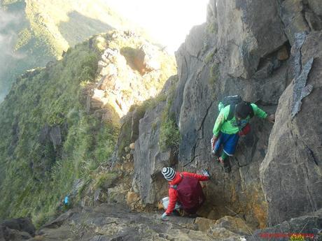
Here’s another photo of the Hillary Step from the bottom of the cliff. Needless to say, extreme care is needed to navigate your way down.
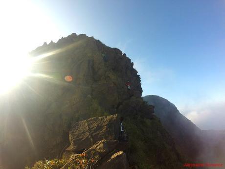
“In the presence of eternity, the mountains are as transient as the clouds” — Robert Green Ingersoll, The Great Agnostic.
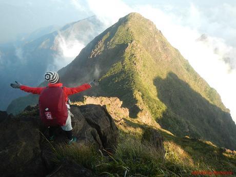
After successfully getting down the Hillary Step, it was another round of trekking and rock scrambling up the Peak of Deception. By the way, this peak is called Peak of Deception because when viewed from the opposite side of the mountain range, it appears to be the summit.
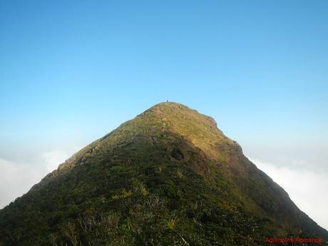
One of the highlights of the trail was actually looking back at the summit. We couldn’t believe that we were able to go down a very steep trail like that. Just check out the photo below.
While crossing the ridge between the summit and the Peak of Deception, we had to resist gale-force gusts of wind accompanied by thick fingers of fog.
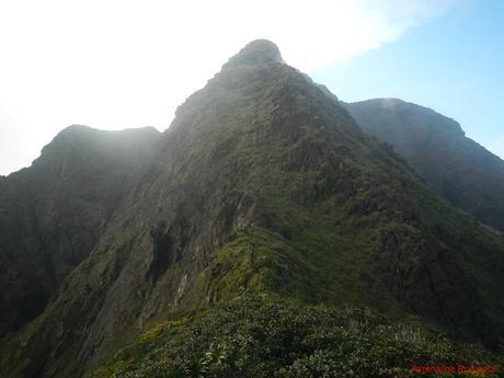
But our perseverance, as always, paid off. We were able to summit the Peak of Deception safely and with huge smiles. As you can probably tell, we thoroughly enjoyed this adventure.
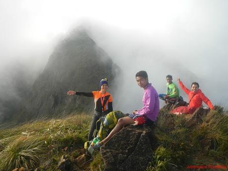
After a short rest and water break, we continued our traverse along rocky ridges that mark the mountain’s cloud level.
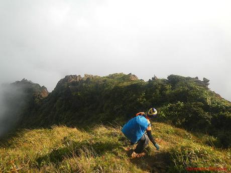
Look at those stunning rock landscape! It’s quite a privilege to see something like this. It is difficult to imagine that these gigantic mountain-borne rocks were sculpted for eons by strong winds and pelting rain.
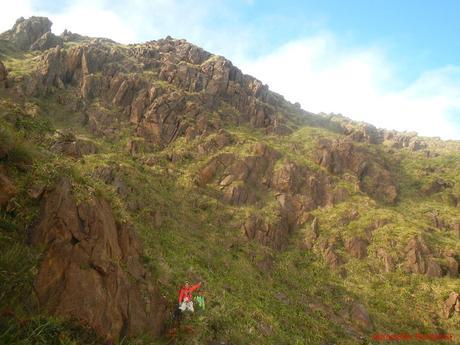
Be careful and watch your step. Many parts of the traverse trail involve vertical descents although none were as high as the Hillary Step.
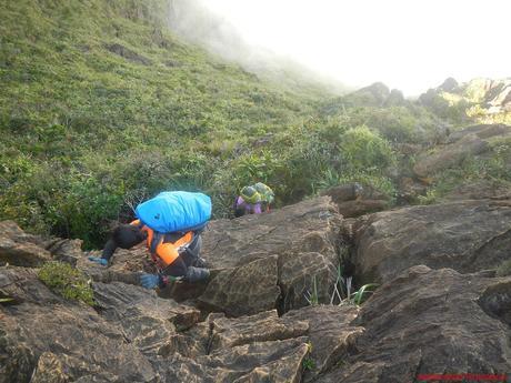
It’s when you willingly face danger and fear in the eyes that you will feel truly alive.
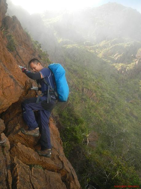
Earlier, we told you that 70 percent of the trail involves rock climbing, right? Well, here you are! Check out those rocks. Many of them have razor-sharp edges and deep crevices that can easily injure a careless climber.
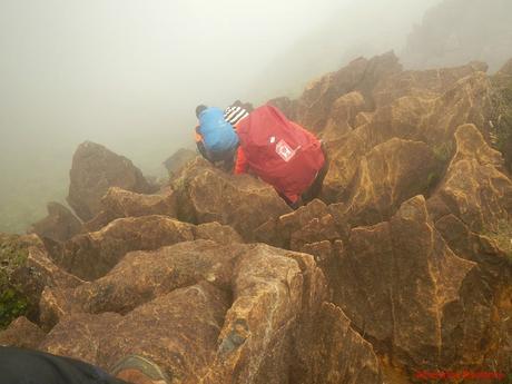
We had to squeeze between, climb over, duck under, and jump up on those rocks. Yes, it was exhausting, but it was also a lot of fun! Personally, the scrambling enabled me to avoid leg cramps.
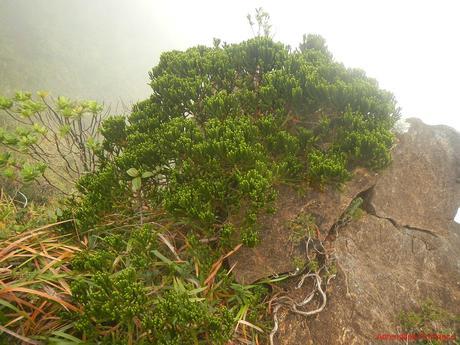
Healthy conifers like these are aplenty on Mt. Guiting-guiting. Later, during our boat trip back to mainland Panay, we met a friendly duo of Israeli and Italian biologists. When we showed them this photo, their eyes became wide with delight. They explained to us that these types of conifers have existed since the age of the dinosaurs! That is millions of years ago!
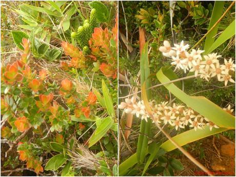
Wild flowers abound! Many of these plants remain untouched by human hands. Many species are yet to be identified by scientists.
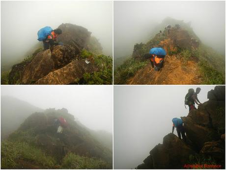
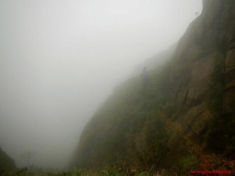
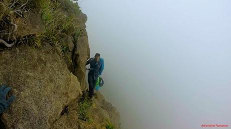
As we carefully scrambled and trek over Mt. Guiting-Guiting’s range, a thick bank of fog rolled in, making the traverse more difficult than it should be. Check out the ravine at Sweetie’s immediate left.
The oppressive fog, which carries a lot of moisture, also made the rocks cold, slick, and slippery.
This part is affectionately called Kiss the Wall, named so because you need to stick to the wall to get to the other side. But despite its ominous name, it’s actually easy to navigate. Just make sure you get a good grip and sure foothold.
It was also here when we heard someone call out our name. Unexpectedly, we ran into Sir Ramon Jorge, a mountaineering trainer and one of the veteran Filipino outdoorsmen that we look up to in the outdoor adventure community. Of all the places in the Philippines, we finally met in person in this hazardous ridge.
A few hours later, we walked and scrambled along a lightly wooded trail that was covered in fog. Then the air gradually warmed up and the oppressive fog slowly lifted. In the distance, we could see another gigantic peak.
There was something unusual about this part of the trail, but we weren’t sure what it is. But after a few hours, from another vantage point, we suddenly saw this trail in a terrifying new light.
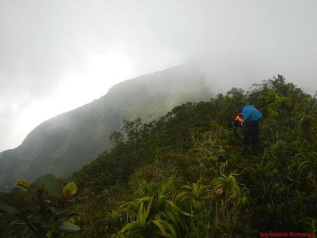
Yes, that steep ascent is still part of this crazy trail. Can you see our porter perched at the top of this promontory? Constant strong winds and flowing rain slowly eroded the topsoil of the mountain, revealing iron-rich rock slabs that form the mountain’s “muscles.”
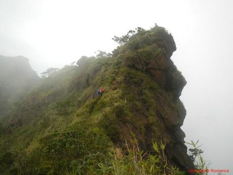
Suddenly, the thick fog disappeared entirely. We were in front of Mayo’s Peak, a major peak in the Guiting-guiting range. Mayo’s Peak was named after Mayo Monteza, one of the team members who originally explored Mt. Guiting-guiting in May 1982. He celebrated his birthday on the day they reached this peak, thus his compatriots from the UP Mountaineering Society christened the peak after him.
Seeing Mayo’s Peak was a relief because this is the last major peak before we take the trail that will lead us back to civilization.
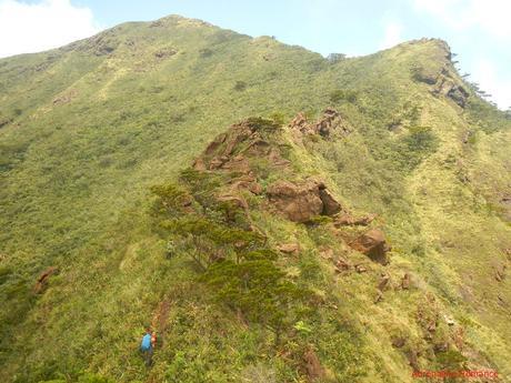
So tantalizingly close yet getting to the top of Mayo’s Peak was still a considerable fight. We could already feel our strength sapping out despite the energy gel that we ate during a short break.
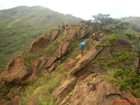
Isn’t that a precarious spot? Sweetie stood at the very edge of a rock outcropping to enjoy the incredible view of one of the Philippine’s most difficult mountains.
This is why we generally bloat our climbing itineraries. We want to enjoy the climb and marvel at the scenery. We simply want to take it slow, smooth, and pleasant. It is not to win a race or go fast to prove ourselves that we are “hardcore.”
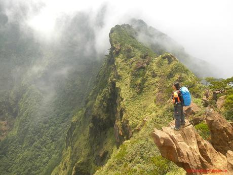
Remember that weird feeling we mentioned while crossing a lightly forested trail? Now, we knew why we felt strange. We were actually trekking along the Knife Edge, a very exposed ridge that connects Mayo’s Peak with the rest of the mountain. We didn’t realize it was a ridge because of the thick vegetation that surrounds it!
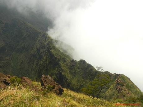
Sweetie was able to take a photo of a part of the Knife Edge. Can you see how slim that ridge is? We had to skirt along its side, holding onto big slabs of rocks for dear life. Often, we had to be on fours to make it through this boulder-strewn path.
We can only imagine the danger that climbers have to face here if they get caught up in bad weather while traversing the Knife Edge.
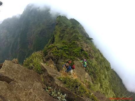
Close to noon, we made the last push towards the summit of Mayo’s Peak. We had to do this quickly as the sun became unbearably scorching.
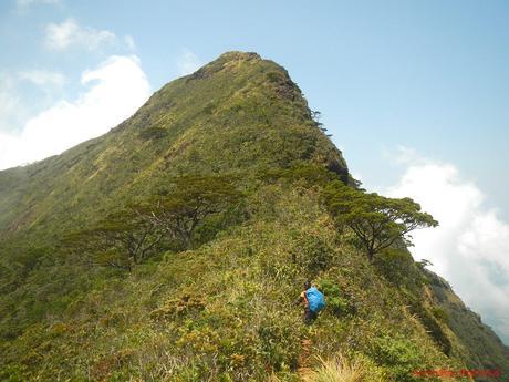
At exactly noon, Halourd, Sweetie, and I, together with Angie and Andrew, stepped at the foot of Mayo’s Peak! That was an awesome traverse!
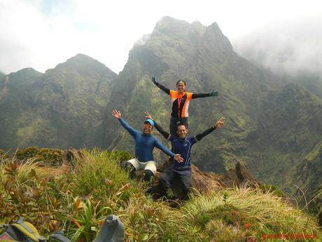
From Mayo’s Peak, we can see the surrounding jagged saw-like peaks that gave Mt. Guiting-Guiting its name. In the local dialect, guiting-guiting means “jagged.” These series of peaks were covered with a thick layer of clouds while we were up in the G2’s summit.
Check out how steep those rocky slopes are.
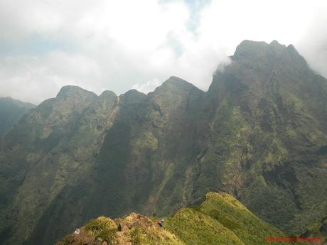
From afar, we could also see the Peak of Deception, partially covered with clouds, at the background of one of the saw-tooth promontories. Can you imagine us descending that extremely steep mountain?
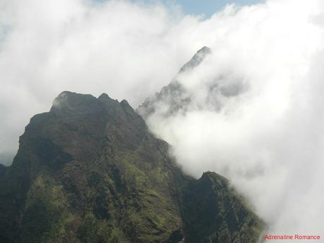
After taking all the photos that we need, we went to a sheltered summit camp where we cooked the last of our canned goods and instant soup. We also mixed a pack of kalamansi-flavored instant juice to celebrate a successful traverse.
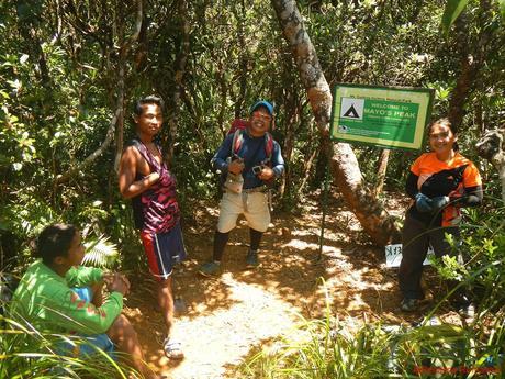
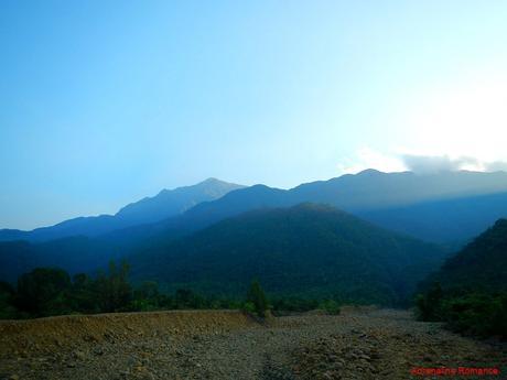
At around 1:15PM, we started the descent to the DENR station in Barangay Magdiwang at the opposite end of the island. We would need to trek down the mountain and towards the dried river bed you see in that photo. That is pretty far, don’t you think?
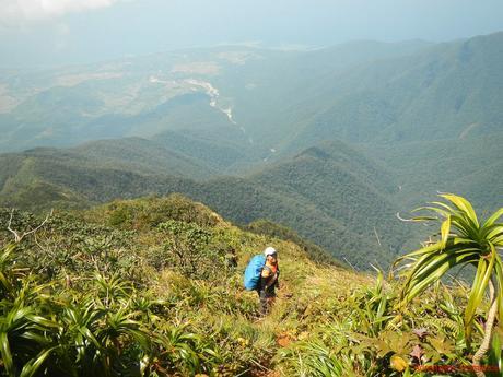
We passed by Bulod’s Spring, a water spring named after a local guide who accompanied the pioneer climbers up Mt. Guiting-Guiting. Due to the prolonged El Niño phenomenon, Bulod’s Spring is totally dry. This is quite a problem because this is the only water source in this part of the mountain.
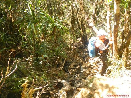
Three camps, separated a few kilometers within each other, lie along the trail to Mayo’s Peak/DENR station. These camps are welcome sights for those ascending or descending Mayo’s Peak.
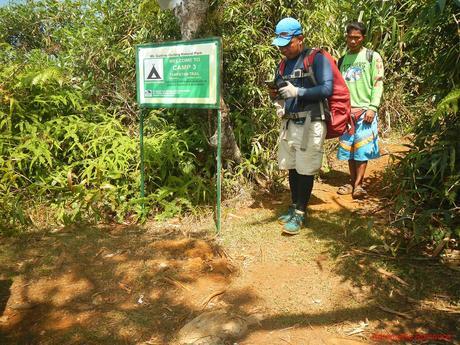
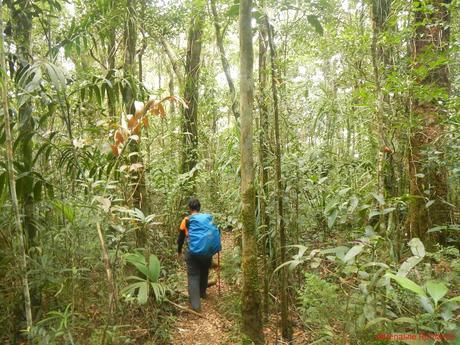
A thick moss-covered dipterocarp forest, typical of tropical mountains, covered the entire slope.
The non-stop descent was a five-and-a-half-hour torture. Fighting against gravity took an extremely painful toll on our lower limbs, from our thighs to our toes. Our lower bodies were virtually ready to give up by the time we reached Camp 1. This was actually our least favorite part of the climb.
Finally, at 5:30PM, we arrived at the river, which, according to the guide, marked the end of the grueling traverse. By this time, our thighs and calves were so sore that they could hardly support our weight!
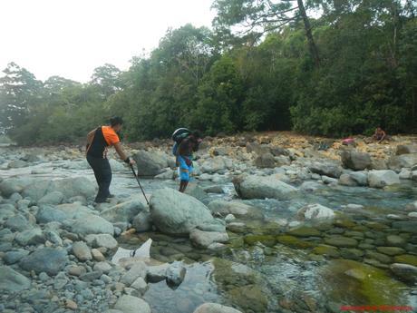
We took off our shoes to let our feet breathe and poured cool river water on our overheated, stinky bodies. We couldn’t wait to have a cool shower, a real hot dinner, and a good night’s rest back at Sir Remy’s place.
After taking a last look at Mayo’s Peak, we trekked the final stretch of flat lands. It took us half an hour to reach the DENR station where Sir Remy was waiting for us.
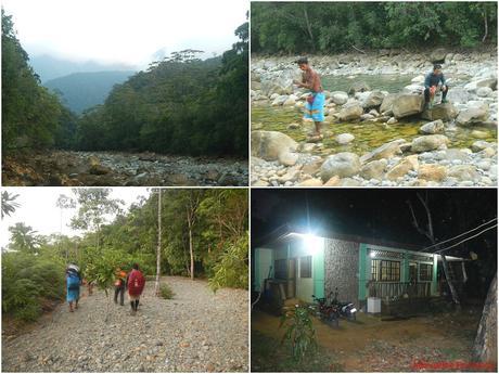
After 17 long, grueling, and exciting hours of scrambling and trekking on dangerous trails, we finally completed our dream of climbing Mt. Guiting-Guiting and doing the traverse! Out of total exhaustion, we simply flopped on the road. We celebrated our personal victories by snacking on some bread and gulping cupfuls of ice-cold Coke that we bought at a nearby store.
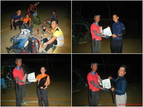
The light snack restored a bit of energy, and we were able to stand up to receive our well-deserved DENR-approved certificates of accomplishments.
Videos speak louder than photos. Check out this short video of our climb.
It took us almost two hours by tricycle to reach Sir Remy’s place in Sitio Olango. By the time we reach there, a hot, spicy, and totally delicious chicken tinola was waiting for our team. The Kai Made For Adventure team was also there, ready to make their own summit bids.
After a hearty dinner, we enjoyed a refreshing shower, a change of fresh and fragrant clothes, a relaxing liniment-assisted massage, and the best sleep we had in our lives.
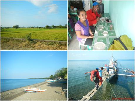
Compared to our exhilarating adventure in the past two days, it was almost anti-climactic the next morning. We packed up early, headed back to the quaint San Fernando town, and had a traditional breakfast with Sir Remy before boarding the boat that will take us back to Roxas City.
Special Thanks
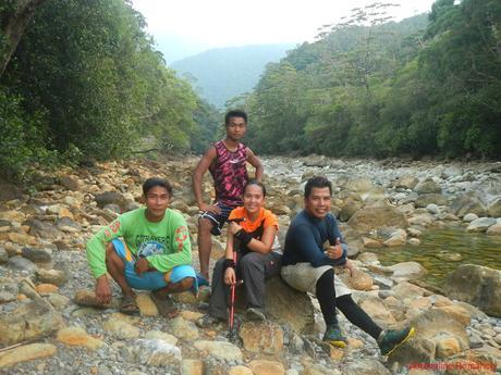
We would like to extend our gratitude to our superhuman May-as guide Angie (guy in green) and porter Andrew (guy in pink). You guys are some of the finest guides and porters we’ve ever encountered. You will always be remembered as an integral part of our team. You help made this dream climb fun, safe, and educational.
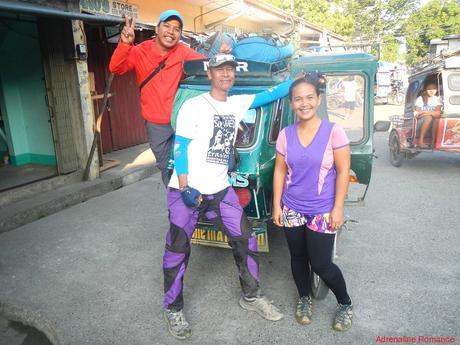
Thank you very much Sir Remy, our master guide, for the smooth coordination and logistics of our climb.
We would also like to express our thanks to the following special individuals:
- Ken Agsaway, who originally organized this climb, and his team. They successfully accomplished the traverse. Congratulations!
- Ate Ville, Ma’am Rucel, and Sir Ruel, the kindhearted souls from Roxas City. You made our trip unforgettable with your unparalleled hospitality. Our memories of our awesome time with you will always be cherished.
- Halourd, our fellow adventurer and friend, who always makes our adventures more fun than usual. He’s our lucky charm. Until our next epic adventure!
Our Mt. Guiting-Guting dream adventure finally came true, and we successfully traversed the lush range with the mountain’s blessings. It was a climb that opened our souls to a new understanding of Mother Nature and ourselves. Her best wonders are truly mesmerizing; but we need to show humility, utmost respect, willpower, and determination to witness and enjoy them. We need to prove to Mother Nature that we are worthy of her gifts, and that proof comes from taking care of her and understanding her rules. Our G2 climb made us realize just how frail yet precious and special we all are—that we are all interconnected to our beautiful and delicate world.
We know that soon, mountains like Mt. Guiting-Guiting will be calling us. And we must heed that call.
Itinerary (Reverse Traverse)
Day 0
7:15 PM – depart Mactan International Airport, flight to Kalibo
8:00 PM – arrival at Kalibo, dinner, ask police and bus dispatchers for schedule to Roxas City
Day 1
2:00 AM – bus ride to Roxas City
3:30 AM – arrival at Sigma, ride jeep to Roxas City
4:45 AM – arrival at Culasi Port Roxas City, breakfast
5:30 AM – unexpected city tour*
* If you are not in a hurry, if you missed your boat, or if you have extra time, we recommend using your first day to tour around Roxas City.
Day 2
6:00 AM – breakfast
8:00 AM – ride pump boat to Sibuyan Island (11AM in our case)
2:00 PM – arrival at San Fernando Port, Sibuyan Island (4PM in our case), last-minute shopping, meet head guide
3:00 PM – tricycle ride to Sir Remy’s place at Sitio Olango, re-pack, prepare equipment, meet guides, climb briefing
6:00 PM – dinner
8:00 PM – lights out, sleep
Day 3
4:00 AM – wake up, shower, final briefing and preparation
5:00 AM – start the ascent of G2
5:45 AM – refill water bottles at the first water source at Olango River
8:00 AM – Camp 1
12:00 PM – Camp 2, lunch
3:00 PM – Camp 3, set camp, cook dinner, refill water bottles
4:30 PM – dinner
5:00 PM – lights out, sleep
Day 4
1:00 AM – wake up, break camp
1:45 AM – start summit assault
5:30 AM – arrival at summit, prepare breakfast, take pictures of sunrise
6:00 AM – breakfast
6:30 AM – depart summit
7:30 AM – arrival at Peak of Deception
9:30 AM – arrival at Kiss the Wall
11:00 AM – cross Knife’s Edge
12:00 PM – arrival Mayo’s Peak, prepare lunch
1:15 PM – depart Mayo’s Peak, start descent to DENR Station in Barangay Magdiwang
6:30 PM – arrival at DENR Station
7:30 PM – depart DENR Station, tricycle ride back to Sir Remy’s place
9:00 PM – arrival at Sir Remy’s place, celebratory dinner, shower
10:30 PM – lights off, sleep
Tips to follow

