Meet the dazzling flying machines of the future
When you hear the word “drone,” you most people often think of something either very handy or either something very scary.
“For a system to function autonomously, it must collectively know the location of its mobile objects in space … For the demos you will see today, we will use new localization technology developed by Verity Studios. There are no external cameras. Each flying machine uses onboard sensors to determine its location in space and onboard computation to determine what its actions should be. The only external commands are high-level ones such as take off and land.” D’Andrea
But could drones have aesthetic value? Autonomous systems expert Raffaello D’Andrea develops flying machines, and some of his latest projects are pushing the limits of autonomous flight. Everything from a flying fixed wing that is able to hover and also recover from disturbance to an 8-propeller air craft that is ambivalent to orientation, and even a a swarm of small coordinated florescent micro quadcopters.
Raffaello D’Andrea;s talk below was presented at a TED conference in Vancouver, British Columbia in February 2016. He dazzled the audience with several swirling flying machines that memorized people as they hovered around the TED stage.
[source: Ted.com]
By canadiangisFiled in: Drone - UAV Aerial Views, MultimediaTags: drone, flying machines, future, micro-quadcopters, Raffaello D'Andrea, Ted, Ted TalkAlso Check Out ...
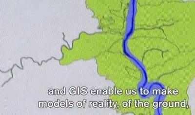
 What is GIS – Applications of the spatial information
Here is a short video that provides a pretty good job of defining what GIS is, in common simpler words.
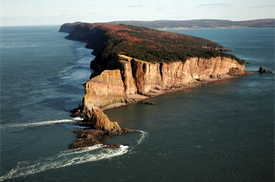
 Scenic Cape Split captured with a UAV
Cape Split is a scenic headland located on the Bay of Fundy in Kings County. The 8 km Cape Split trail offers hikers one of Nova Scotia’s most famous coastal views. Here is a video with some stunning high resolution aerial footage of Cape Split captured with a UAV.
 What can you do with Geography?
“We all know that geography is important; but what can you do with it?” Here we explore how geography is used in the real world, from disaster response to military intelligence and even polar exploration.
Breathtaking Aerial Views of Calgary
