Map Your Property, an Innovative Mapping Application
Map Your Property (MYP), is an all in one innovative mapping application designed for property development and real estate industry. Ideal tool for urban planners and developers, it provides instant access to planning, environmental info and zoning maps. MYP makes use of over twenty-five opendata sets, hundreds of maps and zoning information from the City of Toronto, Region of York, and Ontario Government.

Users simply enter their address into the search tool to begin and you then they are provided with different mapping layers overlayed ontop of their property, allowing you to determine its true development value. MYP is quick providing you your property details in only a few minutes thanks to powerful cloud data solutions.
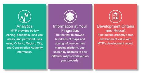
MYP provides by-law zoning, floodplain, land use areas, and permitted uses using Ontario, Region, City, and Conservation Authority information.
Planning

- Municipal Official Plans
- Toronto Bylaw 569-2013
- Toronto Former By-Laws
- Toronto Secondary Plans
- Land Use & Zoning Policies
Provincial
- Greenbelt Plan
- Oak Ridge Moraine Plan
- Protected Countryside
- Growth Plan
- Lake Simcoe Plan
Water

- Rivers
- 1m contours
- Floodplain (coming soon)
- Top of Slope (coming soon)
Natural
- Wetlands
- Area of Natural and Scientific Interest
- Wooded Areas
MYP currently only covers the City of Toronto and the York region but they are now working on expanding to include the entire Greater Toronto Area (GTA) and Kitchener Waterloo regions. And are taking requests for other possible regions to cover.
Planning information is updated weekly directly from local sources such as the Ontario Ministry of Natural Resources, City of Toronto and the Region of York. For more information or to share your feedback go to MapYourProperty.com
April 11, 2015 | CanadianGIS
- Web Mapping
Leave a Reply Cancel reply
You must be logged in to post a comment.

