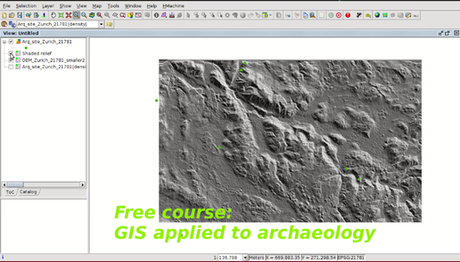
Learning GIS with free online courses and open source
Geography is increasingly being recognized as a critically important element of data. Reality is expressed on the territory. Tools that allow us to manage the territory will allow us to manage reality.
"A geographic information system (GIS) is a system designed to capture, store, manipulate, analyze, manage, and present spatial or geographic data. GIS applications are tools that allow users to create interactive queries (user-created searches), analyze spatial information, edit data in maps, and present the results of all these operations" (Wikipedia)
Not all engineers use GIS, but it is a very useful tool for certain projects. Take free GIS courses online to build your skills and advance your career... and using open-source software.
Start learning today with gvSIG courses:


