The HiiKER app is taking your hiking adventures to new heights with the introduction of three exciting map collections: Hiking Maps, National Maps, and Historical Maps. Each collection has been meticulously curated to enhance your exploration, whether you’re trekking through familiar trails or discovering hidden gems. Let’s dive into what these collections offer and how they can transform your hiking experience.

Hiking Maps
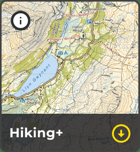
The Hiking Maps collection is a treasure trove of topographical maps crafted by the world’s finest independent map designers. Selected for their intricate detail and hiker-specific information, these maps range from scales of 1:25,000 to 1:75,000, ensuring you have the most accurate guidance on your journey. From the rugged landscapes of Ireland covered by EastWest Mapping to the mountainous regions of the UK mapped by Harvey Maps, and the scenic trails of Greece by Anavasi maps, to Italy’s pathways charted by Fraternali Editore, this collection is your ultimate guide to exploring the great outdoors.

National Maps
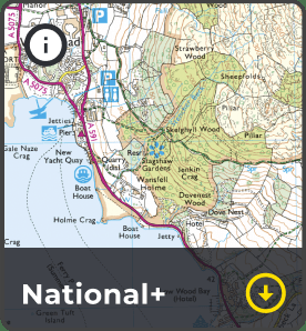
Our National Maps collection draws from the authoritative resources of governing ordnance and geological bodies across the globe. These maps are invaluable for hikers venturing beyond the beaten path, providing detailed topographical data and insights into a country’s natural landscape. Featured maps include the comprehensive USGS maps of the USA, the detailed Ordnance Survey maps of the UK, the extensive Vicmap of Victoria, Australia, the precise SwissTopo of Switzerland, and the renowned IGN maps of France and Spain, among others. This collection ensures that wherever you are, you’re equipped with the most reliable and official mapping available.

Historical Maps: A Journey Through Time
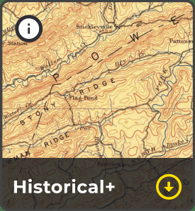
Take a step back in time with our Historical Maps collection, hand-picked by the HiiKER team to enrich your hiking experience by unveiling the stories of the landscapes you traverse. Whether it’s an ancient ruin or an unusual arrangement of trees, these maps offer a glimpse into the past, providing context and a deeper understanding of your surroundings. This collection is not just about navigating through space, but also time, offering a unique perspective on your hikes.
Curating the Collections
The selection of maps for each collection is a careful process undertaken by the HiiKER team, with the aim of bringing the best possible resources to our users. We are constantly on the lookout for high-quality maps that fit into these categories and welcome feedback and suggestions from our community to enhance these collections further.
Enhancing Your Hiking Experience
With these new map collections, HiiKER is set to revolutionize the way you plan and embark on your hikes. Not only do they provide detailed, reliable information, but they also invite you to view the world from different perspectives – be it through the lens of a trailblazer, an explorer of national treasures, or a history enthusiast.
As we continue to expand and refine our map offerings, we’re excited to see how our community of hikers uses these collections to discover new adventures and share their experiences. The world is full of wonders waiting to be explored, and with HiiKER’s new map collections, you have the best tools at your fingertips to uncover them. Happy hiking!
