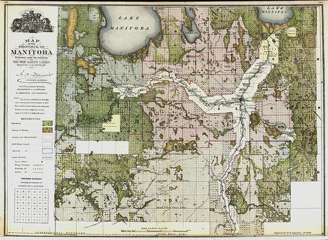
Manitoba Historical Maps
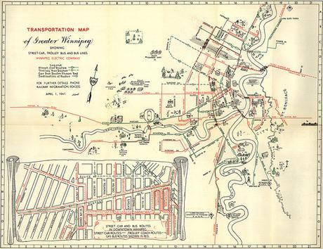
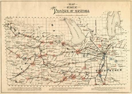
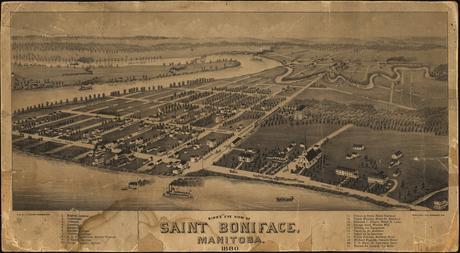
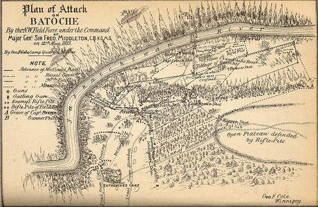
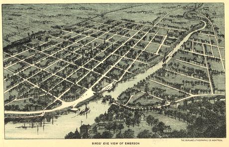
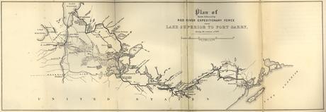
“Manitoba has a rich legacy of cartographic material, printed throughout the progression from Rupert’s Land to Postage Stamp Province to Gateway to the West.
While the cartographic material is numerous, its location is scattered throughout many different institutions, including Library and Archives Canada, Archives of Manitoba and the University of Manitoba Archives & Special Collections, not to mention many other specialized collections scattered throughout the province.
The goal of the historical maps of Manitoba digital collection will be the ongoing, identification, location, scanning and displaying of these intriguing images over the Internet.” (L. Laliberte, 2008)
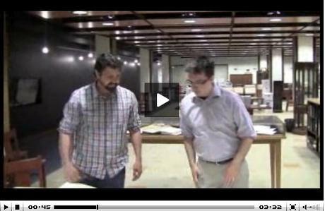
CanadasHistory.ca interviewed Larry Laliberte about his work on the Historical Maps of Manitoba Flickr project and the increased use of social media methods as a medium to share these important cartographic historical documents.
You can view the full interview from the embeded video on the CanadasHistory.ca website.
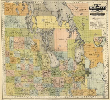
Due to the age of publication, most of the Manitoba maps available online have public domain status, meaning they can be shared widely with anyone and in any format.
I encourage you to check out the Historical Maps of Manitoba Flickr site your self and browse through the hundreds of scanned historic map images.
—
Below are some more sources to help find Historical Maps of Manitoba (and if you know of others not yet listed then let us know and we will be sure to include it in the list).
- Archives of Manitoba
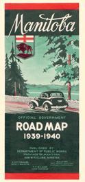
- Historical Highway Maps of Manitoba
- Old Maps Online – an interactive web map that searched several other historical map databases such as the USGS archives and the David Rumsey map collection
- David Rumsey Collection – over 60 thousand scanned maps and images including rare maps from the 16thto 20th centuries
- Canadian Geographic Historical Maps
- Ancestry.com – large collection of various scanned maps & plans
- University of Alabama Historical Maps – large collection of scanned maps but for viewing online only (can not download & print files)
- Wikimedia – Old maps of Manitoba
July 29, 2015 | CanadianGIS
- Historic Cartography
Leave a Reply Cancel reply
You must be logged in to post a comment.

