In the ever-evolving landscape of outdoor exploration, HiiKER has been a constant companion for hikers around the globe. Our commitment to enhancing your hiking experience has led us to reimagine how we present our maps.
This article compares the old layout with our upcoming streamlined version, highlighting the benefits and support available through this transition.
The Old Map Styles Layout
The original HiiKER map styles layout offered a diverse range of options for selecting maps. Users could browse maps based on their current location, the location on the screen, search by name, or even select by country.
While this system provided a high degree of specificity — allowing hikers to choose maps designed by familiar cartographers — it also introduced complexity. The terms “near here” and “near you” often confused users, who primarily sought a straightforward way to access the best map for their area. Feedback indicated a desire for simplification, leading us to rethink our approach.
The New Streamlined and Simplified layout
The updated map styles layout is a direct response to your feedback. Reducing the clutter, we’ve focused on offering two free map layers (standard OSM and satellite) and three premium curated map collections (hiking maps, national maps, and historical maps). This change is not just about reducing the number of clicks but about enhancing the overall experience — making it faster, more intuitive, and tailored to the needs of the modern hiker.

Transitioning with Care
Understanding that change, even for the better, can come with challenges, we’re committed to ensuring a smooth transition. The core UI remains familiar, minimizing the learning curve. We’re proactively reaching out with emails, push notifications, and dedicated support blogs to prepare our community for the update. A support button within the app will guide users to resources designed to ease the adjustment process.
Key Comparisons and Enhancements:
- Speed and Accessibility: The new layout promises faster loading speeds, allowing hikers to quickly access the maps they need, without the wait.
- Offline Viewing: An improved offline viewing capability means you can see the regions of the map available for download at a glance.
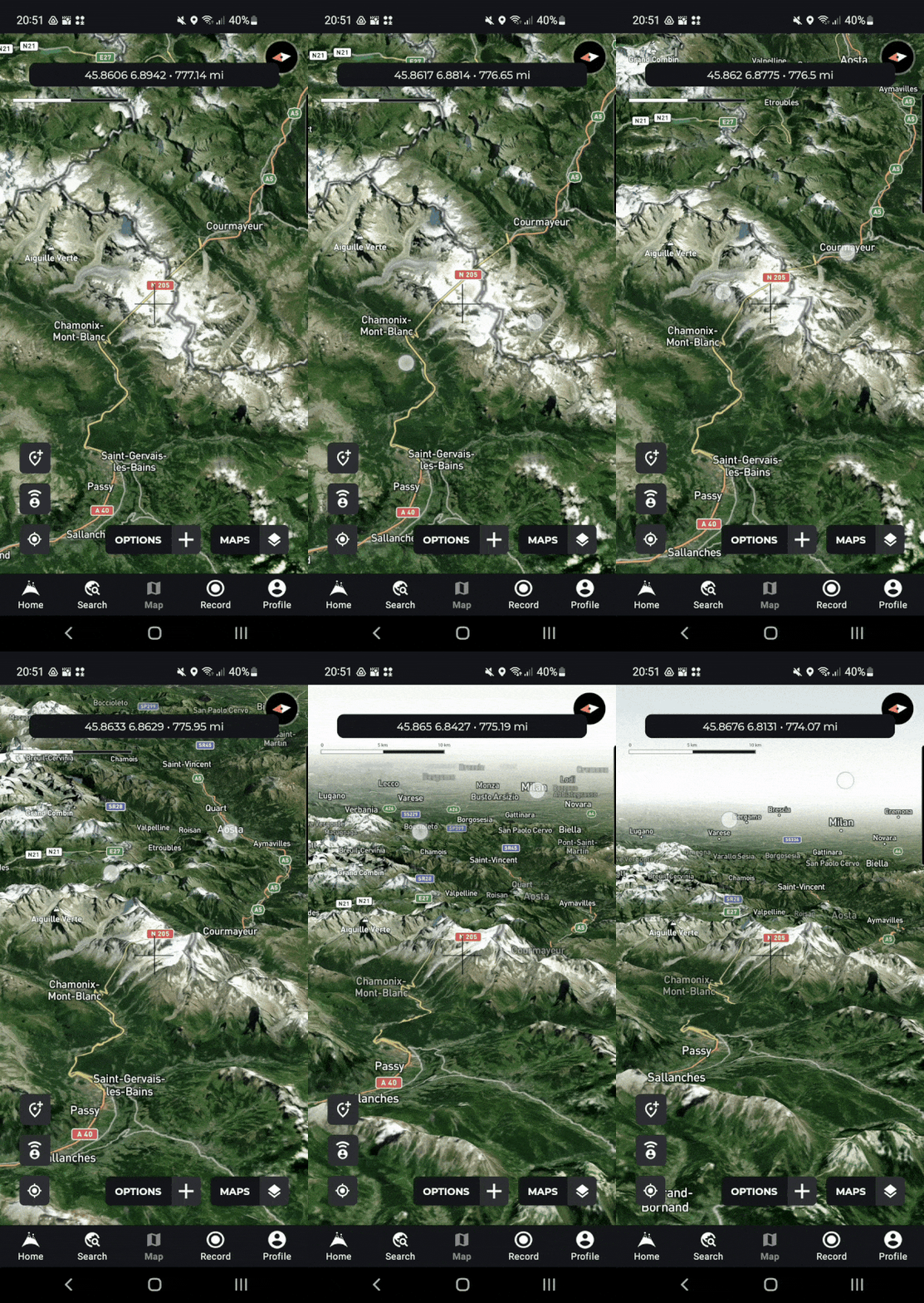
- 3D Maps: A standout feature of the new version, 3D maps offer an immersive planning experience, bringing the topography of your next adventure to life.
- Battery and Performance: Expect significant improvements in battery conservation, app speed, and reliability, making HiiKER not just a tool but a dependable part of your hiking gear.
Support
We understand that questions and concerns may arise. To address these, we’ve prepared a series of blogs (including this one) focusing on FAQs and transition pain points. Our support team is also ramping up to provide personalized assistance, ensuring no hiker is left behind.
Feedback:
As always, your thoughts and feedback are invaluable to us. They help us to continually refine and improve the HiiKER experience. We encourage you to share your impressions and suggestions through our support channels as we navigate this exciting transition together.
