Grass GIS Software
GRASS GIS, commonly referred to as Geographic Resources Analysis Support System, is an open source GIS software that is commonly used for geospatial data analysis, data management, image processing, cartography, spatial modeling, and data visualization. It was originally was developed by the US Army Corps of Engineers and is a founding member of the Open Source Geospatial (OSGeo) Foundation.
GRASS GIS contains over 350 modules to render maps and images on monitor and paper; manipulate raster, and vector data including vector networks; process multispectral image data; and create, manage, and store spatial data.
It offers both an intuitive graphical user interface as well as command line syntax for ease of operations. It can interface with printers, plotters, digitizers, and databases to develop new data as well as manage existing data.
The latest stable version available is version 7. GRASS GIS v7 provides support for large data , has an improved topological vector engine and improved vector network analysis tools. Click here to download it for yourself and give it a try.
By canadiangisFiled in: Data & Software, Free Data & SoftwareTags: free, GIS, GIS software, GRASS, Grass GIS Software, open source, OSGeoAlso Check Out ...
 Ortho Imagery for Central Nova Scotia
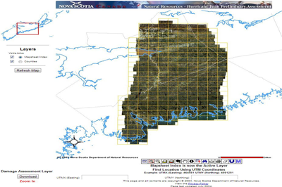
On September 29th, 2003 Nova Scotia was hit by a category 2 hurricane that caused extensive damage northwards across the center of the province. Over the next few months, aerial photography was acquired to create digital orthomosaics from to help access the damage created by the hurricane. These digital orthos (MrSID image files at a scale of 1:24000) are available to the public for downloading.
 British Columbia's DataBC program
The DataBC program provides public access to provincial geographic information through a single web interface, offering a multitude of geographic data (spatial and no-spatial), applications and tools in order to help their citizens make better informed decisions, inspire change and encourage development of new ideas to improve government decision making & policies.
They have provided minimal licensing requirements to their data to help broaden the use of the Province’s assets. “You can use our geographic services to help map the data and find tools to help you conduct your own research, analyze statistics, develop apps or to simply satisfy your curiosity.”
 East Hants Open Data
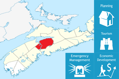
East Hants, Nova Scotia, Canada is a vibrant municipality between Metro Halifax and the Bay of Fundy. East Hants uses GIS technology in all their departments, from sewer, water, and road projects, to regional planning, taxation, and municipal elections. Recently they developed an online portal (Interactive East Hants) to help Nova Scotian’s explore their growing Municipality’s geospatial data sets.
Geomatics Acronyms and Abbreviations

