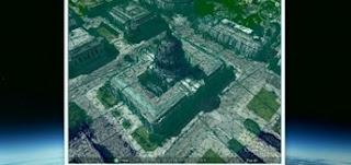
Google announced that they will add features 3D models for several urban areas in Google Earth for mobile devices. This feature works by using imaging techniques and the latest rendering, combined with the latest in computer display technology. The result will create an image of the full 3D shape. 3D rendering is the process of displaying images in full, both buildings, buildings, parks, terrain and performed at a 45 degree angle. process of collecting 3D data is retrieved using a special aircraft flown by the path you created earlier. Then the plane using mapping techniques to capture buildings and other objects. source
via Google, The Next Web

