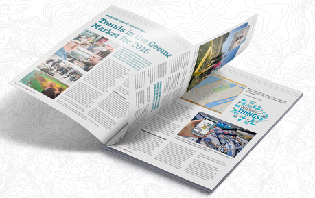
GIM 2016 Geomatics Business Guide
The GIM 2016 Business Guide contains a series of interviews with key players and experts in the geomatics industry, including the article Trends in the Geomatics Market for 2016 by T MacKinnon.
The free guide also includes geospatial company listings, extensive product and market reports, an events calendar and more. It is distributed among subscribers of GIM International, visitors of international trade shows throughout the year and is available free as a downloadable online edition.
By canadiangisFiled in: Geo Books, Geo Industry NewsTags: download, free, Geomatics, Geomatics Business Guide, GIM, GIM International, T MacKinnonAlso Check Out ...

The Province of B.C. launched a new version of iMapBC. This popular public mapping tool can be freely used to visualize and analyze hundreds of geographic government datasets. Content includes location of municipalities, public and private property, land use tenures, heath regions, roads, rivers, and topography.
As a reliable source of up-to-date and authoritative data, iMapBC helps inform a broad range of decision makers from oil and gas companies to First Nations. This means they spend less time doing paperwork both inside and outside government, and more time developing projects that generate jobs for British Columbians. Whether you’re a long-time user or brand new to iMapBC, try it out. Look for it, and other applications on the DataBC Website.

For people exploring various places in the neighborhood, it is similar maps as other online map information with zoom and pan, but the real power of OpenStreetMap rests in the hands of developers who can access all the data behind the maps for customizing to their own.
What it means that, with OpenStreetMap, you can not only view various spatial locations, but add also your own custom locations and information to the database which can then be used by other users. All you need to do is to …

Pacific Alliance Technologies (PAT) announced today that they have released iVAULT Mobile and that it has has exceeded clients expectations. iVAULT Mobile was first released to some of their clients and who tested and provided feedback that was incorporated into the final version.
Vancouver Map Flyover


