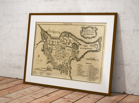
Fortress of Louisburg Maps

The Fortress of Louisbourg is a Canadian National Historic Site located in Cape Breton, Nova Scotia. The reconstructed replica represents what the French fortress would have been like back in the 1700s. The location for the fortress was chosen because it allowed the French to easily defend against British ships attempting to attack the St. Lawrence River.
Recently we purchased some old maps at a yard sale, and one of the old map books contained a tattered map featuring the Fortress of Louisbourg that we scanned, cleaned up in photo-shop and then reproduced. While searching for the date and source of our map print we also noticed that there have been several old Fortress of Louisbourg maps created and have included a few the links that we found below.
If you know of other links or sources and wish to share them then let us know and we include them below for others to discover.
Fortress of Louisburg Maps
- Early Printed Maps Of Canada III Chapter 7 – includes many references to plans and maps
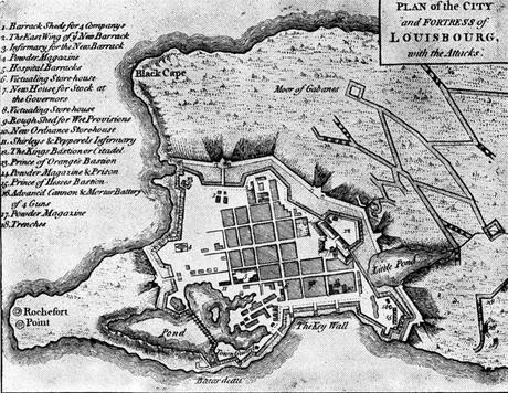
- Louisbourg 1746 MHS from the Massachusetts Historical Society collections
- 1758 Plan of the City & Fortifications of Louisburg (produced for the London Magazine in 1758)
- 1734 Louisbourg Town Plan, Early History Of Nova Scotia (Acadia)
- 1748 Louisbourg
- Davids of New France – great historical information and several images and plans
- David Rumsey Collection – various different scans from different available
- Interesting modern online map of the current fortress. http://www.fortressoflouisbourg.ca/louisbourgMap.html
Recently Google Street view has captured the majority of grounds at Fortress of Louisbourg so people can experience the National Historic Site from anywhere in the world.
By canadiangisFiled in: Historic CartographyTags: Cape Breton, David Rumsey, Fortress of Louisburg Maps, historic cartography, history, maps, Nova Scotia, plans
Also Check Out ...
I recently returned from giving a presentation at Carto2013; an annual Canadian cartographic themed conference that was held at the University of Alberta co-hosted by the Canadian Cartographic Association (CCA) & the Association of Canadian Map Libraries and Archives (ACMLA).
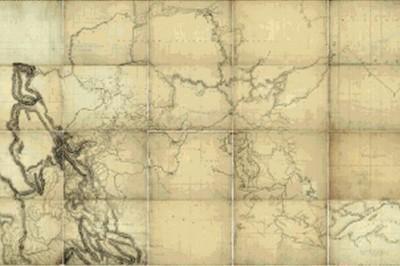
One of the key themes evident at the conference was related to history of cartography and history through maps”, a topic that many of the presentations were related to and several of these talks were about 1826 maps of Northwestern North America created by David Thompson. I myself have never really had much interest in history however these presentations provided me with a much different perspective on history and maybe I have found myself a new (or old??) to explore. Yesterday while searching for some Canadian maps with my daughter I stumbled across yet some more historic themed cartography, so I thought perhaps we should start a new section on CanadianGIS.com related to Historic Cartography since it is pretty evident that this is becoming topic of interest to many in the Canadian Geomatics community.
Find out more about Canadian Geographic Maps & Thompson’s 1826 Map of Northwestern North America …
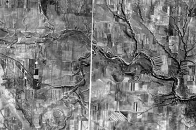
Historical Orthophotos of Alberta contains georeferenced orthophoto maps consisting of aerial photography mainly from 1949 to 1951 with coverage for the whole province. It also contains various maps created with photos from 1961 to 1963. Each of the original maps covers a 1:50,000 NTS sheet at a scale of 1:63,360.
To download the georeferenced orthophoto maps …
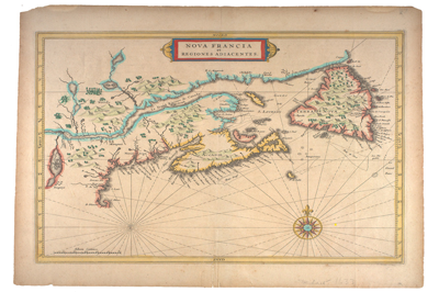
In 1971-72 Dr. William Howard Pugsley, donated his collection of early Canadian maps that he had collected during the late 1930s and World War II. Download digital scans of these 50 early Canadian historical maps published between 1556 to 1857 that help explain the discovery and exploration of early North America.
Bathymetry of Lake Ontario
