Echosec to Showcase Geospatial Social Search Solution for Defense, Military, and Homeland Security at GEOINT 2016 Symposium
Victoria, BC., Canada, April 28, 2016 — Echosec Systems Ltd., will be sharing their industry leading social media search solution at the 2016 GEOINT Symposium, May 15-18 at the Gaylord Palms Resort & Convention Center in Orlando, Fla. Hosted and produced by USGIF, the annual GEOINT Symposium is the nation’s largest gathering of industry, academia, and government to include the Defense, Intelligence, and Homeland Security Communities as well as commercial, federal/civil, state, and local geospatial intelligence stakeholders. Visitors to the Echosec booth (Booth 621) will have the opportunity to see the latest release of the software, including the newly released Pro and Enterprise offerings.
About Echosec
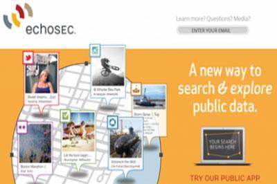
Echosec is the next generation of search that connects you with billions of pictures and posts made by millions of people, which never normally make it to common search engines. Echosec is the first search engine of its kind to realize that ‘where’ matters as much as ‘what’. The unique way of harvesting and displaying dynamic and user-generated content from sites like Twitter, Foursquare and Instagram, gives Echosec a completely unfiltered and real-time view of the world.
Echosec has become an indispensable resource for public safety, government, and law-enforcement agencies. looking for information on global events. Defence and security applications for Echosec’s technology are extensive. and public safety officials use Echosec while investigating criminal activity and to protect the public during major events. The software Echosec is also used for maintaining geo-fences for large, multi-national companies. Generally, employees don’t mean to post sensitive information, but sometimes secure building schematics end up in the background of their photo. Echosec to helps these companies educate their employees, while enabling security teams to act quickly and avoid potential information breaches.
According to Karl Swannie, CEO, Echosec Systems, “The potential uses and users of Echosec keep growing, with requests coming in from professionals not only in law enforcement, military, and security but from local government, advertising, even the financial sector. There’s no doubt that geointel, security, social media monitoring and the like are going to grow in importance in the years ahead.”
A 10 Day, trial of Echosec Pro can be requested at https://pro.echosec.net/signup
About GEOINT Symposium
The GEOINT Symposium is hosted annually by USGIF and offers the defense, intelligence, and homeland security communities and other federal and civil GEOINT users and producers the opportunity to learn from senior leaders through an exciting agenda of keynote speeches. Echosec is proud to be a part of the small business exposition area. The theme of this year’s Symposium is “The GEOINT Revolution”. For more information visit www.geoint2016.com and on Twitter @GEOINTsymposium
Contact Info:
Echosec Systems
www.echosec.net
[email protected]
@echosec_search
See also: https://www.echosec.net/echosec-at-geoint-2016-symposium/
By canadiangisFiled in: Geo Industry NewsTags: EchoSec, GEOINT 2016, GEOINT Symposium, Geospatial Social Search, USGIFAlso Check Out ...

The GISCI Geospatial Core Technical Knowledge Exam® is open to all individuals interested in attaining the GIS Professional certification. GISCI will offer the Exam to individuals independent of the application for the portfolio review process. This means that GISP applicants can start the certification process by completing an application and taking the examination any time prior to attaining the professional experience required for the professional portfolio.

Nova Scotia Community College (NSCC) will become the only college in Canada with a research bathymetric Laser Imaging Detection and Ranging (LIDAR) device that can unlock the mysteries off Nova Scotia’s shores thanks to the support of a national innovation award and industry partners.

DMTI Spatial, the Canadian leader in location-based data quality solutions, today announced it has been acquired by Europe-based mail room solutions provider Neopost.
The Amazing MapMan coloring book RAC’s New Canadian Rail Portal is powered by K2 Geospatial’s JMap
