Earth Observation for Water Resources Management
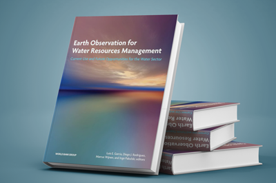
Earth Observation for Water Resources Management: Current Use and Future Opportunities for the Water Sector edited by Luis García, Diego Rodríguez, Marcus Wijnen and Inge Pakulski provides a series of practical guidelines that industry leaders can use to decide if remote sensing would be useful to solve their problems.
Water contributes to all aspects of economic and social development and although the use of remote sensing techniques for operational purposes in hydrology and water resources is not new, is has become a fast-growing industry.
“Water lies at the heart of economic and social development and is thus a critical factor in poverty reduction. Growing economies and populations require better water management to keep up with the demand for energy and food and to ensure access to safe water and adequate sanitation. Twenty-first century growth requires modern tools to help countries to understand their water challenges, risks, and options.
Remote sensing enables coverage over large areas and spans of time without heavy field personnel requirements, and its accessibility, reliability, and accuracy have improved dramatically in recent years. While both in situ and remote sensing measurements are subject to specific limitations, researchers have developed techniques that can combine or correlate data from both methods to benefit each other’s strengths.
Understanding the potential combinations of available options has been a challenge for many practitioners. For this reason, Earth Observation for Water Resources Management: Current Use and Future Opportunities for the Water Sector aims to shed light on the strengths and limitations of remote sensing in order to help specialists to provide decision makers with fast and reliable information.” Jennifer Sara, The World Bank Group
Earth Observation for Water Resources Management was the result of a collaborative joint effort involving the World Bank, the Commonwealth Scientific and Industrial Research Organisation, and the University of Arizona. It describes some key global water issues, perspectives for using remote sensing approaches, and why it is importance for water resources. The 11 chapter publication describes eight key types of water resources and various sensors that can help provide valuable information. The book concludes literature review on reliability statistics of remote sensed calculations.
Download Full Version here free
By canadiangisFiled in: Geo BooksTags: book, Diego Rodríguez, download free, free, Inge Pakulski, Jennifer Sara, Luis García, Marcus Wijnen, Remote Sensing, The World Bank Group, water, Water Resources ManagementAlso Check Out ...
 GIM 2016 Geomatics Business Guide (free)
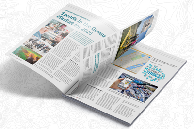
The GIM 2016 Business Guide contains a series of interviews with key players and experts in the geomatics industry (including the article Trends in the Geomatics Market for 2016 by T MacKinnon), geospatial company listings, extensive product and market reports, an events calendar and more. It is distributed among subscribers of GIM International, visitors of international trade shows throughout the year and is available free as a downloadable online edition.
 Free QGIS Tutorial
QGIS provides a number of capabilities allowing you to manage, edit, visualize, analyze & create maps. Here are some free tutorials to help you get started using QGIS (which you can also download and use for free.
 PCI Geomatica Python Cookbook
PCI’s Geomatica Python Cookbook is an online resource for python users who want to use python with Geomatica 2014 geospatial software.
TRX Coordinate Transformation Tool
