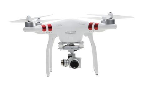
DJI Phantom Drone Ottawa Aerial Footage
 Downtown Ottawa is the central area of National Capital Region and like many other down towns it is also the commercial and economic center. Situated along the Ottawa River Valley across the river from Gatineau, Ottawa is a scenic city as evident in this breathtaking aerial footage captured with a DJI Phantom Drone taken along the Ottawa River and the Ottawa Canal.
[Source: NickskibikeFilms CandianGEO.info/Ottawa-drone-aerial]
By canadiangisFiled in: Drone - UAV Aerial Views, MultimediaTags: aerial, DJI Phantom Drone, drone, drones, Gatineau, National Capital Region, NickskibikeFilms, Ontario, Ottawa, UAV, UAVsAlso Check Out ...

“We all know that geography is important; but what can you do with it?” Here we explore how geography is used in the real world, from disaster response to military intelligence and even polar exploration.

Geomatics Analytical Technicians typically have working knowledge with demonstrated experience using GIS software, development of specialized cartography products, and provide support to other GIS users. Want to know what a typical Geomatics Analytical Technician job entails?

Great little presentation providing information for almost all levels of users from beginners to experienced, with topics including: map navigation tips and tricks, keyboard shortcuts, customization, magnifier window, creating symbols, modifying existing symbols, working with map layers, layer files, python scripting and much more.
Many of the shortcuts they mention in the presentation can also be found in this helpful summary document.
GIS jobs in Ottawa
