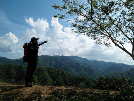
Locals and visitors alike are quite familiar with the attractions and destinations in the southern part of Cebu. The northern part of Cebu, on the other hand, is a different story. Vast tracts of landscapes remain rugged, wild, and unexplored. A lot of people in the remote, inaccessible highlands have marginal exposure to modernity. Traversing Segment 4 of the Cebu Highlands Trial exposed us to a very different side of Cebu.
Our friend Apol, who aims to complete the CHT with much ardor as we have, joined us. Sir Jing’s bushcrafter friend Marcus Immer also wanted to try out this segment.
It was a surreal feeling as we arrived early at our jump-off point at Barangay Gaas in Mt. Manunggal. Just a few months ago, during our Segment 1 hike, we stood at this same spot. Memories of our first experience of the CHT came flooding back.
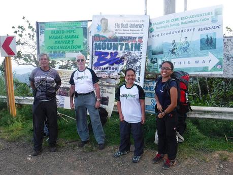
We rode habal-habals to the crossing that leads to Mt. Manunggal’s campground. After adjusting our Deuter ACT Trail backpacks (and buying a few boiled eggs from a passing vendor), we started our hike to the north—and the unknown.
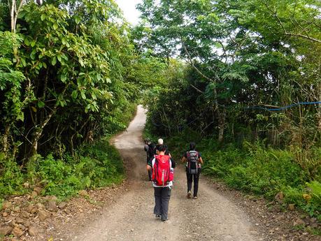
What was once a farming trail decades ago has become a modern concrete road. Locals now have easier access to the lowlands where they can sell their goods and buy supplies. Although concrete roads are the bane of hiking, they are blessings for far-flung local communities.
Part of the CHT was walking down this section of unfinished road for a couple of kilometers. A few months from now, this will be covered with brand-new spic-and-span concrete.
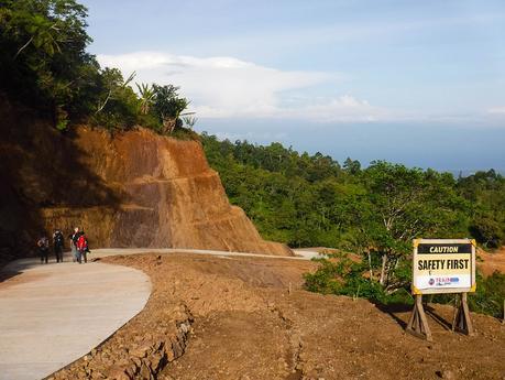
Since the road hugs the side of a mountain slope, the view is quite breathtaking. We could see thick first-generation forests as far as our eyes can see. What secrets lie beneath that forest cover? We don’t know…and that’s what makes northern Cebu enchanting.
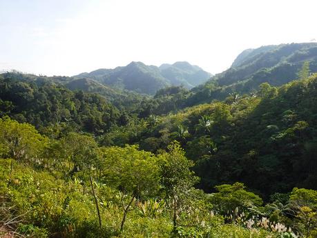
The red coloration of the excavated soil means that this mountain is rich in various irons and minerals. While it signifies that Cebu is rich in ore, that same bounty may spell doom for the mountain. Mining companies are forever in search of mineral deposits to exploit, and if this area is subjected to open-pit mining, then this majestic mountain will be destroyed.
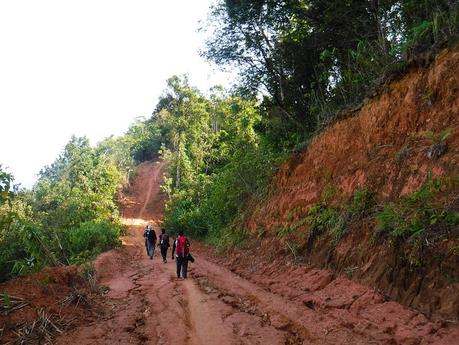
Pretty soon, we came to a point where the road ends and nature once again reclaims what is hers. The land broke apart, and we started trekking on narrow trails. Excavations made way for beautiful trees, and rocks gave way to carpets of grass.
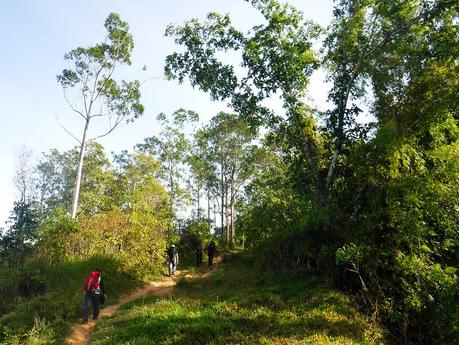
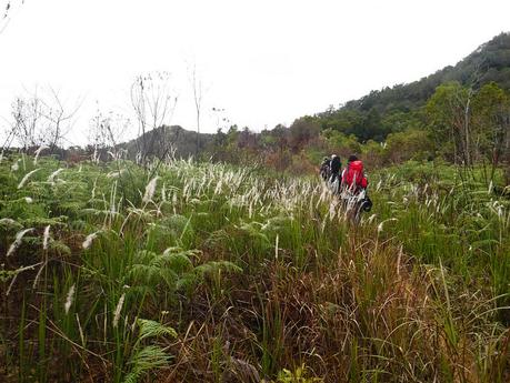
The trail led us to untouched and hidden prairies likes these. The scent of fresh grass and the feel of the morning breeze blowing on our sweaty bodies were truly refreshing. We have been hiking for more than an hour, yet exhaustion seemed to be left behind miles away in the city.
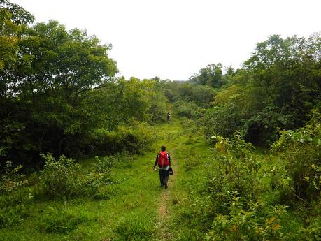
We fought our way through thick foliage whose branches threatened to rip apart our clothes. During our hikes, we always anticipate terrain like this; that’s why we wear tough, high-quality outdoor apparel from Se7en. We also wear armguards to prevent thorns and scratches from penetrating our skin.
Another way to get through these vines and branches is to simply raise our arms up as we push through the foliage. Our bodies act as vine-breakers.
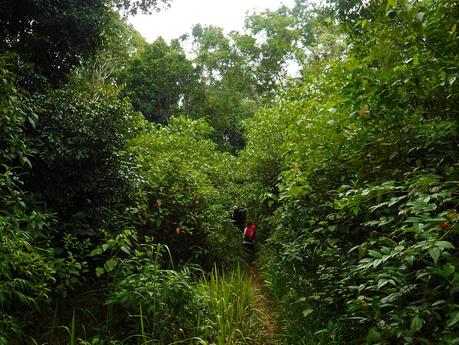
Chest-high grass and giant ferns! The demarcation between prairies, forests, and grasslands are sharp and perceptible in this area.
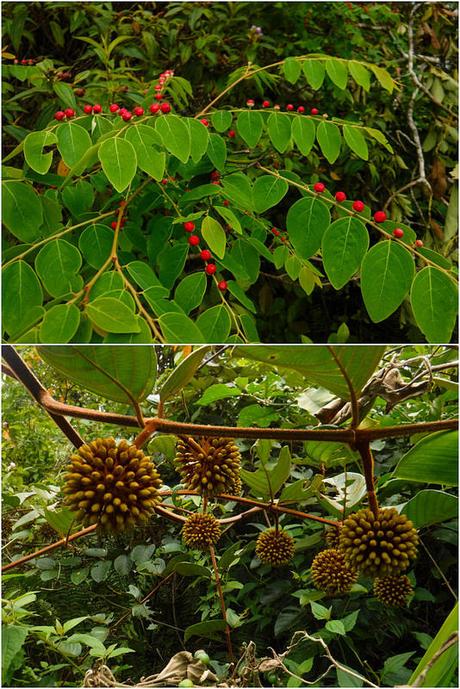
We also found a lot of strange plants. Sweetie was particularly intrigued by the ones with the small red balls, spaced so evenly on their leaves. I got curious about the ones that look like fat urchins.
A little past 9 AM, we found a flat area that overlooks a huge expanse of Balamban. Although it is not exactly sheltered from the sun, the lovely view and the cool wind makes it a nice resting place like any other. We shed off our backpacks, gulped on some Gatorade, and ate some GORPs while enjoying the nice view.
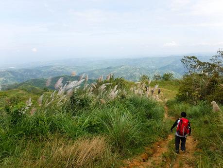
From our vantage point, we could see the green hills and lengthy mountain ranges of Balamban. That white patch at the left side of the photo is actually Tsuneishi Heavy Industries, Inc., a shipbuilding company that has consistently constructed massive tankers and bulk carriers used in international marine trade. The entry of Tsuneishi in Balamban boosted the local economy exponentially, turning the sleepy town into a small but vibrant city.
Beyond the coast is Tañon Strait, a haven for whale sharks, whales, dolphins, and other majestic sea creatures. While the coast of Moalboal faces the strait and we’ve dived there a couple of times, we would love to have a chance to dive in other parts of Tañon Strait.
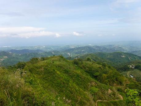
With our energies replenished, we continued our trek across Cebu’s northern highlands. The villages that dot these landscapes are small, and some communities are comprised of fewer than a dozen structures.
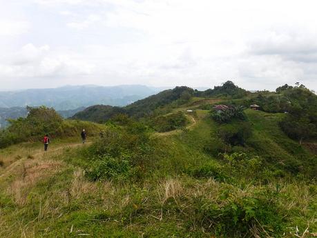
The landscapes of Northern Cebu are some of the most majestic we’ve ever seen. Yet, tourism in these places has always been a feeble spark for many decades.
It’s no surprise if you are familiar with Cebu’s history. During the Marcos years, northern Cebu became havens for rebels, revolutionaries, and criminals. The rugged terrain fits their purpose, allowing them to hide from law enforcers and raid villages with impunity. Stories of crime and murder have become so rampant that Northern Cebu became akin to killing fields.
Gradually, after the Marcos years, the rebellion was quelled; and northern Cebu became peaceful. Yet, the “trauma” and the memories of Cebu’s dark chapter have continued on, an endless and sinister whisper that has become embedded in the Cebuano’s psyche.
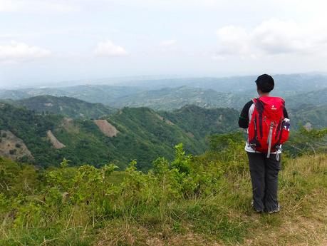
But that fear may have contributed something good. Without the throng of tourists, developers, and other people who want to rape the land for its resources, northern Cebu remained relatively pristine. Mountains are still covered with thick forests, and hills are still carpeted with velvety grass. Farming continues to be the main source of livelihood here.
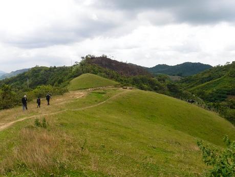
We reached a small store in Barangay Matun-og (in the middle of nowhere, we might add) to rest and have some refreshments. But what greeted us there was a sad sight. A small group of kids earlier shot a maral (Visayan Leopard Cat)—a threatened species—with an improvised air gun. The pellet hit the maral squarely on nose bridge, collapsing its nasal cavity. They tied one of the animal’s legs with a piece of rope to prevent it from escaping.
Our hearts ached with every beat as the poor feline hyperventilated out of shock, trauma, and pain. Clearly, it has difficulty in breathing due to the injury in its nasal cavity. Silently, we held back our tears. We implored the kids to just put the animal out of its misery. They wouldn’t because they want to cook it for dinner, which is a long 7 hours away. For the maral, that’s 7 hours of unrelenting pain.
Hunting for food and survival has been existent since mankind learned to fashion and use weapons. But today, with domestication, modern technology, and bulk food production, the hunter-gatherer lifestyle is not needed anymore.
We have to give the maral and other majestic animals a chance to survive and flourish. According to a 2013 study by Lorica, MRP and LR Heaney, the Visayan leopard cat is close to being locally extinct in Cebu and Masbate. Hunting and the loss of their natural habitat have greatly contributed to their threatened conservation status.
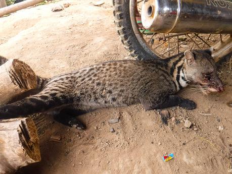
With a heavy heart, we silently bade goodbye to the injured maral and continued on our way. Near noontime, we saw our lunch stop, a small community nestled on top of a ridge. See that building with the light blue roof? That’s where we were going.
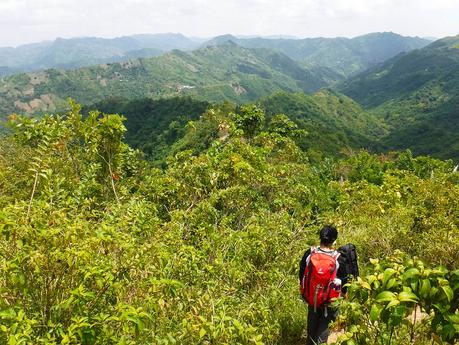
With the sun at its highest, the intense tropical heat took its toll on Markus as we neared the barangay of Cabasiangan. Being a Caucasian, it was naturally and biologically difficult for him to adapt to the local tropical climate. Dehydrated and suffering from heat exhaustion, he announced he couldn’t finish the hike. Markus decided to call it quits and head back to civilization on a habal-habal.
But we’re in the middle of nowhere! Up high in the mountains! No modern transportation in sight. What do we do?
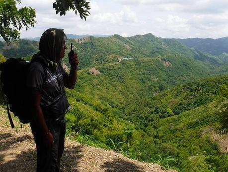
Good thing that Sir Jing bought a pair of Versa radios—one for him as the guide and one for me as the sweeper. Using my radio unit, I raised the alert; so when Sir Jing reached the village first, he was able to ask for assistance. Two locals came to our resting spot and carried Markus’s backpack for him.
The 500-meter walk must have felt forever to Markus, who was completely exhausted and lightheaded. But with perseverance, he was able to make it to our lunch area under his own power.
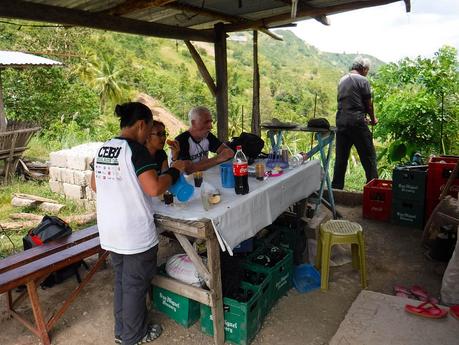
At last, we succumbed to the complaints of our growling stomachs and parched throats. We took out our packed lunch of tocino (sweetened meat), dried fish, and rice and bought ice-cold Coke. We must have finished one pitcher of water each; the day was THAT hot!
Our main concern now was to get Markus back to the lowlands. This could have been quite a problem; the place is so remote that even habal-habals rarely venture out here. Fortunately, a kind local offered to take Markus back to the town of Balamban for a reasonable fee.
Pretty view, isn’t it? In the city, people you call neighbors are usually just a step or two from your house. Here in this lonely neighborhood, the distance between one house to another may range from a hundred meters to more than a mile!
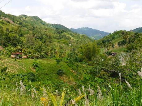
After ensuring that Markus is safely on his way to the lowlands, Sir Jing, Apol, Sweetie, and I continued our trek to Barangay Ginatilan where we planned to spend the night. Our camp area is still a good three hours away. We battled heat exhaustion and dehydration while we walked on extremely exposed terrain.
Wind gusts that cooled our sweat-soaked bodies were very much appreciated. We whistled loudly; we believe the wind comes to you if you whistle for it. When we were children, we usually whistle in the hopes of a strong wind so we can launch our kites.
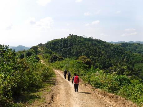
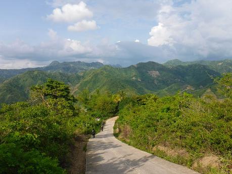
Aarrghh! The last stretch of the hike was a torturous walk on a steep downward concrete road. But at least, the view is excellent! Just look at those mountains!
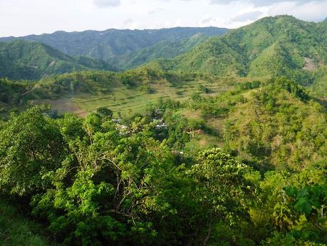
There’s Old Ginatilan, a small barangay nestled at the heart of a crater-like depression. Sir Jing said that this might be the bed of an ancient lake. My mind conjured a different idea: this might be the remnants of an asteroid impact. Hahaha!
Right on schedule! At 4 PM, we flopped at a communal waiting shed in the isolated Barangay of Ginatilan. Locals were awestruck when we told them we walked all the way to here from Mt. Manunggal. Although they are used to walking long distances, most of them haven’t walked THAT far. In fact, they were incredulous and wondered why we didn’t ride a habal-habal. Hahahaa!
We helped ourselves with some well-deserved hot coffee, junk food, and bread.
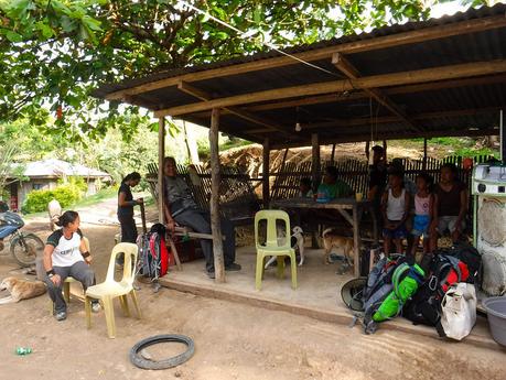
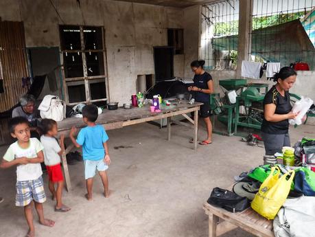
Similar to Segments 2 and 3, our campsite was inside a sheltered structure. In this case, an abandoned grain storage facility. Apparently, this barangay hasn’t seen a lot of visitors. As we set up our shelter, children and adults in the entire community came to the facility and watched us with awe and curiosity. We tried to avert gazing towards them as we set up our camping equipment.
“Is that a real tent?” “How will they cook their food?” “Look! They have a small folding chair!” “Their stove is so small.”
It’s like being—-celebrities! Hahahaha!
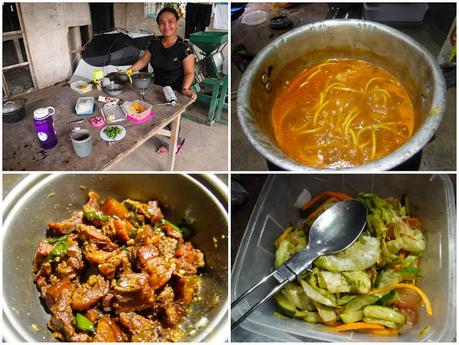
For dinner, we cooked hot and spicy odong soup (egg noodles boiled in spicy sardines), adobo, and cucumber-and-pomelo salad. Because there’s a store nearby, we were able to pair our delicious dinner with ice-cold soda.
We just had a taste of northern Cebu, and it is wild! For adventurers, it’s a virtually endless playground full of secrets, mysteries, and unspoiled beauty. As we turned in for the night, we can’t help but get excited about the thought that we are some of the few outdoorsmen who were able to set foot on this lonely yet beautiful land.
Watch out for Part 2 of our CHT Segment 4 hike.

