Last weekend, I wasn’t at my best. I’m been suffering with a persistent cold/sore throat for a good week and I feared it was going to prevent me from getting out an enjoying what has become a weekly walk at this time of year. But it didn’t and, so that I didn’t push myself too hard, I decided I would finally tackle one of the shortest walks in the book titled 8 Wild Walks Across the Mendip Hills.
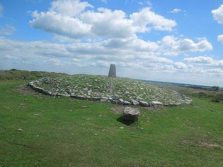
Beacon Batch trig point, at Black Down on the Mendip Hills, Somerset.
On paper it’s always looked like a pretty boring, uninspired walk, if I’m honest. There’s probably a lot I’m missing as I’m not much of a geography enthusiast plus, I’d already seen this area of the Mendips too many times. So, while I was up and ready to get going, I decided that I would try to extend the walk slightly, to make it more appealing.
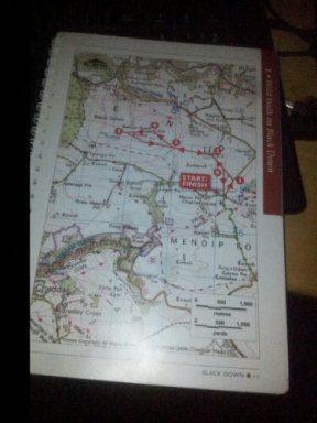
Taken from the book: ’8 Wild Walks Across the Mendip Hills’
If you look at the map above, you can see the basic route I was intending to take; a rather uninspired loop around Beacon Batch, to be blunt about it. I knew where I wanted to go but upon my arrival at the intended parking spot, I had to make further amendments when I realised that the car park for the Charterhouse Centre is now private, if it hasn’t always been (I received a lean stare from a man loading up a mini bus, as I slowed down on my approach…). I could’ve parked a little further down the road but it would’ve meant walking back uphill along all that painful tarmac. Instead, I back-tracked to a space outside Burrington Ham, just east of the locally-renown combe.
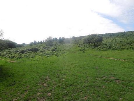
Which path to take? The choice is yours!
I was familiar with the route from this point as I passed along on Easter Sunday of this year, while out walking with my friend and her daughter. In fact, some of the sites you’ll see further down are ones I also visited on that day – it is, however, refreshing to revisit places during different seasons, I find.
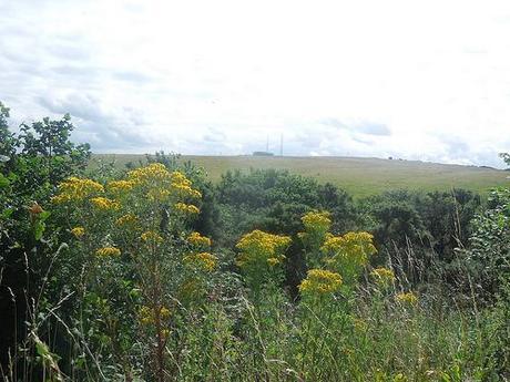
These transmission towers are a landmark within the local area.
My OS map for the area was still required to ensure I did follow the correct path, where I ended up having to give way to a flurry of cyclists (mountain bikers) coming from the path ahead of me.
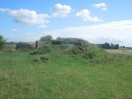
One of two decoy World War II bunkers in the area.
But I ended up taking a different path to the one my friend led us along on what was also my birthday. Entering a field full of sheep, I spotted a decoy bunker built to distract bombers during the Second World War (I also Keeked about this). At this time, I thought that there was only one and I was confused as to how I’d seemingly done the impossible and looped over myself while heading straight in the opposite direction… It was like I’d walked through a wormhole or something! That was, of course, until I noted that there are (at least) two of these bunkers on the Mendips.

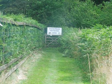
On a bone-dry desert, you’d expect fresh water – but of course, this is Britain and we have our own preference!

So, I carried on down the field and eventually reaching a road along a country lane, from which I picked up on the familiar path from my last visit. This leads you across a stream, through a very small section of woodland and, on the otherside, you’re greeted by a sign that offers cups of tea in the most unexpected of locations, deep within rural Charterhouse!
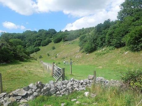
Velvet Bottom leading to Black Rock in Somerset; only a stone’s throw from Cheddar.
Continuing on my way, I headed down hill and in to a valley known as Velvet Bottom (no sniggering at the back, please). It seems to be a popular space for walkers, where the rest of my route on this day had been quiet for the most part.
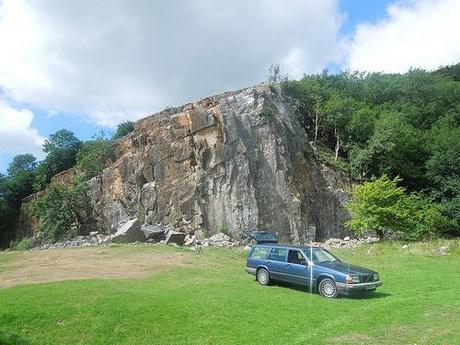
Black Rock near Cheddar in Somerset.
From here, I could reach Black Rock for the second time in barely four months. It was pleasant to be able to witness the luscious green overgrowth surrounding the rock; very little of which was present in the late spring, earlier this year (that Volvo certainly wasn’t there, either).
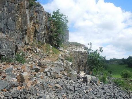
I noticed there appeared to be a kind of footpath leading you up to the summit of this formation but, with warnings of loose, falling rocks in several places, I decided to keep well away. From my maps, I couldn’t find an authorised footpath leading to the top either.
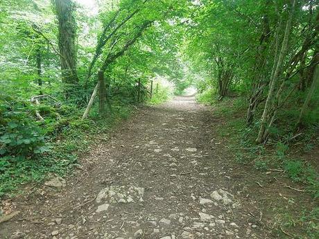
Long Wood – another local nature reserve.
Instead of heading onwards for another adventure and climb up Cheddar Gorge; this time, I set off in the near-opposite direction through an uphill stretch called Long Wood and on towards the West Mendip Way, which would signify my return route.
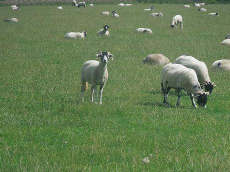
My path continued through a field of what I assume to be rams (well, they have horns). Timid, woollen creatures but with the most bulbous and alarming of eyes, in my opinion! I wish I could’ve taken a closer shot without scaring them away.
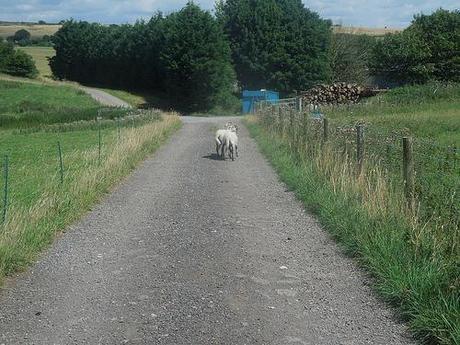
My duties as an on-call herdsman left a lot to be desired on this day, when I noticed two strays wandering aimlessly outside, as I left the field via. a gate in the corner. It wasn’t clear how they’d gotten out but I wanted to try and entice them back in… All they did was run away. Even after I untied the farmers knot and opened the larger field gate, I was able to lure them both back towards me but they ran past the opening and headed further south down the footpath! I passed two other walkers as I carried on – I hope they had better luck than I did!
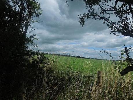
This was one of my favourite shots from the day and I was generally quite pleased with how well most of these images came out, in spite of the scratches that deface the front of my camera’s lens.
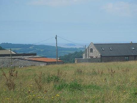
You can see Steep Holm, out to see and beyond the farm buildings. A day-trip awaits there, for a future date.
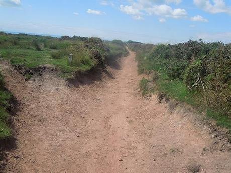
Back up on Black Down.
Very soon after, I found myself walking along well-worn footpaths in search of the trig point for this area.
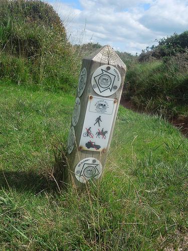
It was interesting to note that cyclists are apparently prohibited from using this route – moments after a woman whizzed past me on her bike!
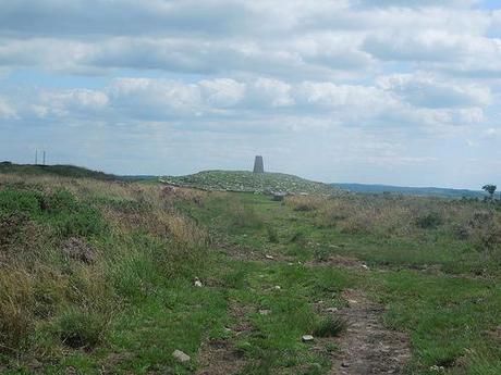
Fairly soon after and the trig point came in to view.
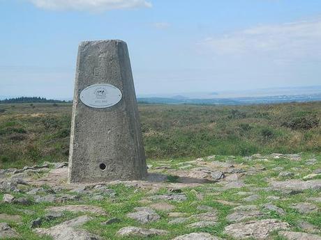
You can make out both Steep Holm and also Flat Holm in the distance from here.
Towards the end of any walk; of any length; after any amount of time; it is always a relief when the car park comes in to view!
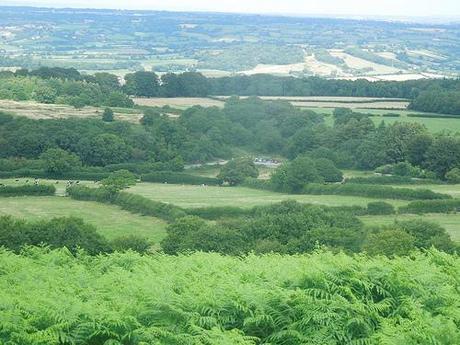
View of the car park at Burrington Ham, and beyond!
So, that was last Saturday’s walk. I felt worse for wear as I got up and vacated by sick-bed but it all seemed to improve as the day went on. Sunday was another day of brief walking to keep myself active in motion and I’ll be back very soon to let you know about that.
Thanks for reading.
