Another walk from Geoff Mullett’s Walk West series, this one took place in November, a couple of weeks after the house move.
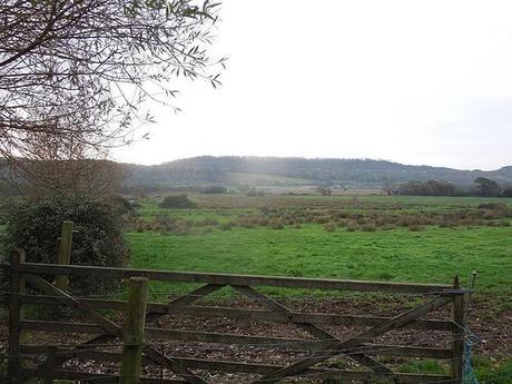
We begin by crossing moorland.
‘Gordano‘, to me, has always been an incandescent space between Clevedon and Portishead. I’ve never had a reason to stop by there before. It’s not a decision I can ever recall having contemplated. Before this walk, I was unaware of what it has to offer.
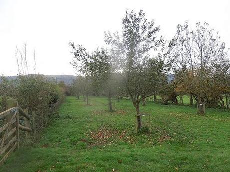
It starts in the village of Weston-in-Gordano which, as far as I’m aware, has nothing to do with Weston-super-Mare, several miles south down the coastline. There weren’t many convenient car parking opportunities that I could find so I took Geoff’s recommendation to park down the brief lane beside the church (at the 4th attempt of driving towards it).
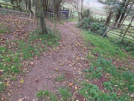
This sets you right beside the start point, so you don’t have to worry about crossing a major road. You wouldn’t find space for a convoy there though; I reckon there was only room for three other cars at a stretch.
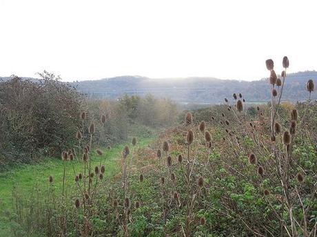
After stumbling over apples and breaking free from the orchard, you open out on to a moorland known as Weston Moor and maintained by the Avon Wildlife Trust.
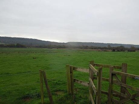
It’s hard to put a foot wrong here as the paths are consistently direct while the waymarks remain clear. Anything else is strictly private land. Persistent signs are placed to remind you of this.
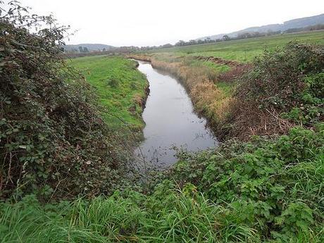
Naturally, much of the land was saturated (we’d also received a reasonable amount of rainfall in previous days) and it wasn’t long before my toes were complaining. But I’d only just begun and had only one direction to follow.
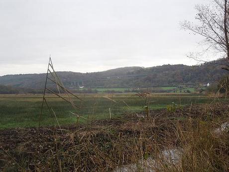
You can hear the gale of M5 motorway traffic from the offset.
A little further on and I came to my first ‘bovine encounter‘ on this walk. I think, in my previous walk, there was barely a herd to disturb.
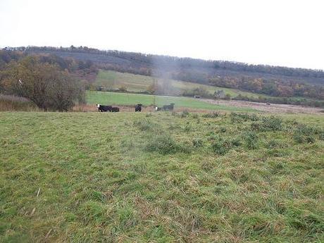
I was spotted long before my arrival but I then walked straight in to a scare as an unseen ungulate made a rustle in the long grass (below) and led a smallholding retreat with the thunder of hoofsteps!
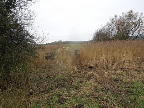
From there, I remained under surveillance from a safe distance.
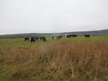
Suspicious eyes.
I was I had video this part because I doubt I’ll be able to recreate it perfectly with only a written description… But as I turned the corner the follow the river bank towards my exit, the herd were tracking me at pace. Together, they’d run on ahead, before a pause to complete an about-turn and a full 360°… As I kept walking, they’d do it again; three times in all, before I reached the stile!
I saw this same behavior once on another walk further south and earlier this year.
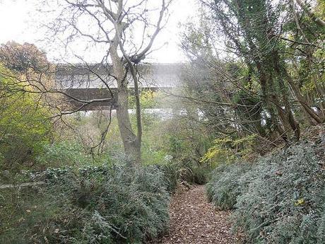
Crossing beneath the M5 motorway.
Up ahead, my intended path climbs up beneath the M5 motorway bridge. It’s worth pointing out as Geoff did in his description; that an apparent right-of-way straight ahead of you on an OS map is no longer valid (reason, unknown). Instead, you have to turn left and follow the lane before reaching the bridleway as pictured above.
This leads up on to Cadbury Camp Lane, which means you’re officially crossing over in to Tickenham and the opportunity to explore Cadbury Camp.
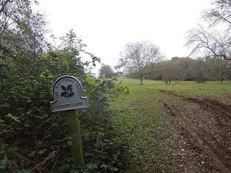
Entering Cadbury Camp.
This section was reminiscent of the last group walk I participated in, where we braved this exposed, elevated land against the wishes of the October wind and rain.
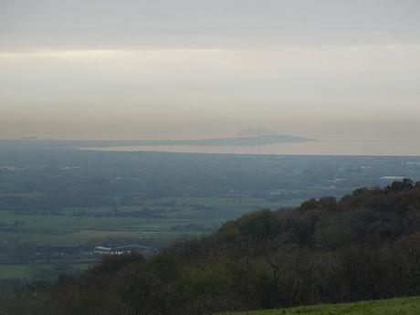
A view of Sand Point from the top of Cadbury Camp.
You see, when you’re a rambler, walker or hiker, you don’t usually climb hills to admire the elevated surroundings. You do it for the views; to look on as the tower over the world beneath your blistered heels.
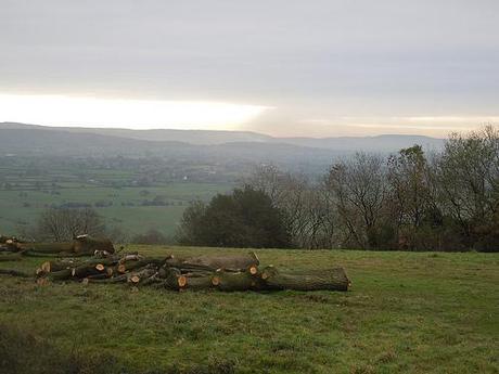
On the horizon; the Mendip Hills.
During my visit (when I also decided to stop for a brief lunch), tree clearing was in operation and, as the warning signs informed; this was indeed to maintain the countryside spectacle that makes this hill walk-worthy.
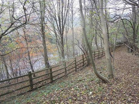
Before spending to much time in Tickenham, I continued along Cadbury Camp Lane to a footpath marked for the Gordano Round route, which would take me back across the same motorway using footbridge.
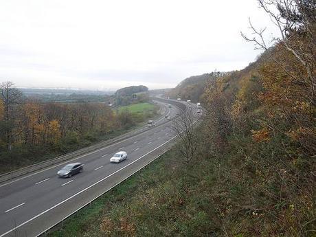
Looking north up the M5, towards Avonmouth.
Crossing over and now heading in to Clapton-in-Gordano (do you see the pattern)…
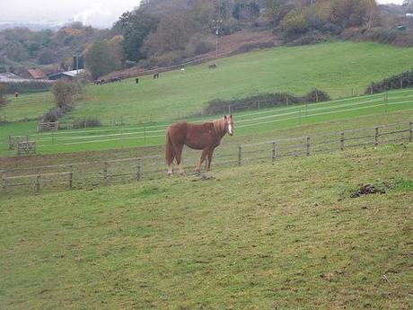
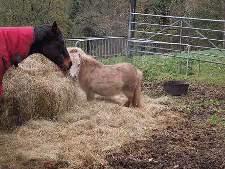
Horses rarely offer any trouble but I did almost come unstuck once the trail of waymarks suddenly disappeared. After closely consulting my map for several minutes, I could see that I simply needed to carry on straight through the blatant gate ahead of me.
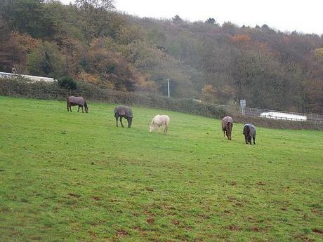
Horses practicing the art of mindfulness… Maybe.
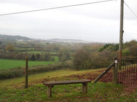
As the route continues along a lane, you pass Clapton Court Farm and St. Michael’s church before reaching a bench that appears to look out over Portishead…
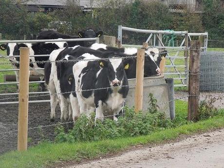
After crossing fields and a substantial footbridge, I passed a herd of young cows (calves, even) with that ‘please take me home’ expression all over their faces.
Then, came my hour of “adventure” within Weston Big Wood…
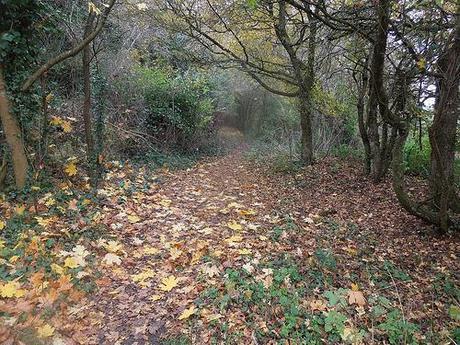
At first, it was fine. The path was clear and direct and just before the following (not so) ultra violet respite, I passed a friendly old woman whistling for her mischievous dog to return for going home time.
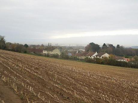
But upon re-entering the woods a little further ahead, there was no discernible right of way; not even a single waymarking to follow. Geoff warned of the navigational challenge to be found in this stretch and, even armed with a compass and a direction to shoot for, I was highly unprepared.
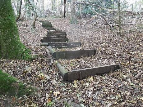
I thought I was doing well when I found this flight of steps. I’d read ahead of myself and these had to be the same treads as mentioned in the description…
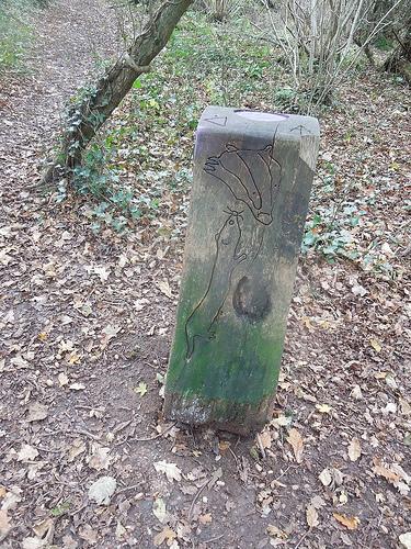
This stone bought a smile to my face as it indicated clearly that I was on the right route. But my faith soon faltered as I encroached upon a similar stone but with different markings. That wasn’t mentioned in the guide… Neither was a return trip to that first stone, about 30 minutes later, when I was certain I must’ve been close to the north-east exit I was hoping for!
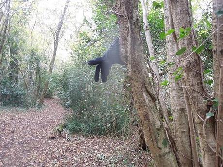
Passing that glove just once was creepy. I cannot describe how it felt the second time.
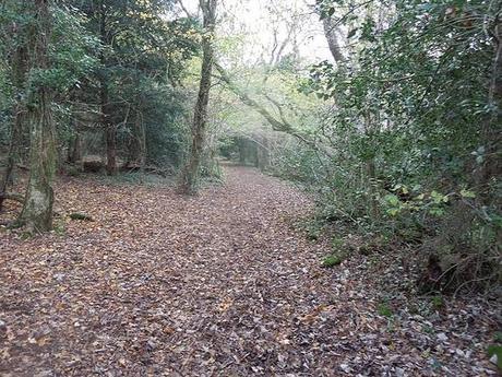
That lady’s dog crossed my path on three occasions in all the time I spent wandering these woods. I sincerely hope they were reunited… She must’ve been waiting for a while! Two other dog walkers passed by me in this pathless labyrinth. Beyond 3pm now, it was starting to get dark.
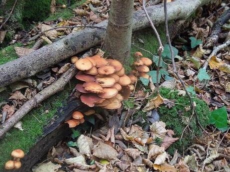
Somehow, I scrambled upon a metal kissing gate to the eastern side of the woods. By consulting my OS map, I was able to determine that I could follow the school kids climbing uphill around the woods and to the road crossing where I would then climb towards the ruins of Manor Farm, below.
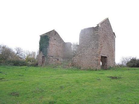
Bordering Portishead (I think), I knew I was very close to reaching my car and just in time for the sun to set, so it seemed.
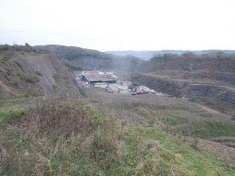
But as straight forward as the written route appeared to be, I could not find the bridge in the next photo. I was getting frustrated, tired, anxious from all the previous time spent in that endless surround of tree trunks and fallen leaves; would I make it back to the car before it gets too dark? I have a torch, but is it really big enough?
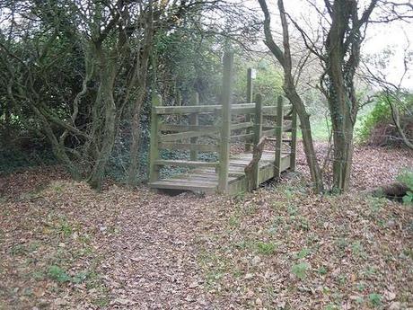
In the end, I found myself on the other side of the footbridge… Somehow!
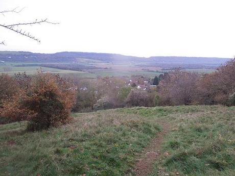
That just about concludes my walk, as I continued downhill returning to the village with a simple crossover and in to my car; at approximately 16.15. A part of me is keen to renegotiate that jungle of no direction on a longer day when wild garlic and more may be on display. Perhaps also to guide me but for now, I’m glad to have completed the walk to have sampled some of what the area has to offer.
Thank you for reading.

