Almost two-months have since passed. Living in the south-west of England, it’s clear that the dreaded long nights are already beginning to draw in. But at least the weather’s holding up (it could be colder…).
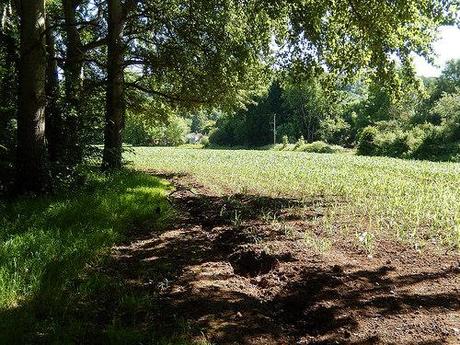
This is going to be a recollection of a walk I did on the evening of the Summer Solstice earlier this year. It began in my current home village of Wrington and continues up on to perhaps the most commonly known heights of the Mendips. These photos begin as I made my way across the A38, heading south.
My initial route was somewhat identical to a path I took on a similar walk back in November. I crossed the same field, moments before a farmer unleashed a herd of fresh cows on to my footsteps. It was less muddy and I headed for the correct corner of the following field. No crop-crunching; no illegal gate-hopping. I was on my way towards Dolebury Warren.
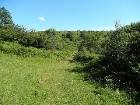
It had taken only 30 minutes to get this far and I was chuffed. Then again, this was only weeks after I’d conquered the entire western Mendip stretch in a single 30 mile effort!
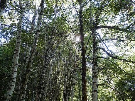
Instead of heading straight for the Warren, I turned east through Mendip Lodge Wood and then, via previously unknown roads and footpaths, found my way up and on to Burrington Ham.
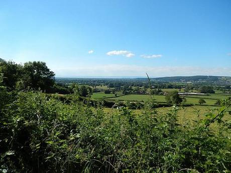
This was my first visit to this side of the combe since Easter of the previous year. Black Down is clear and visible from many angles. Look another way and you can gaze out and over North Somerset.
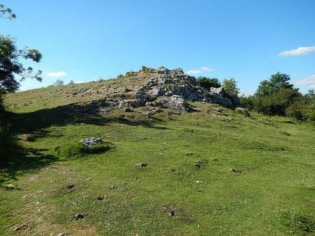
From the highest point, I headed down along a vaguely familiar route towards the car park where I could then cross the combe and begin a climb up to Beacon Batch.
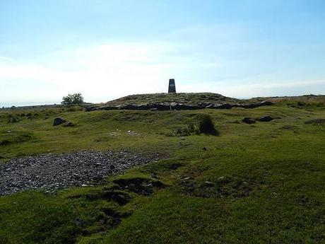
It’s a hugely popular destination for walkers and mountain bikers passing through the area. Perhaps even the odd runner, too. It was where I wanted to be for the Solstice and I think I arrived around bang on 6pm. I wasn’t intending to stay long; it just felt like a good place to be while others were no doubt climbing Glastonbury Tour and obscuring Stone Henge in their masses. I’d anticipated a little more of a turnout but I didn’t see any more than 5 others before I marched on and towards Rowberrow Warren.
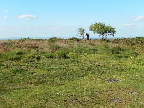
Caught on camera.
Just to the north of trig point, I overheard a man distinctly talking to his camera. I discreetly noticed him erect some kind of mast and, a few days later, I found the video he was filming over on YouTube! I’m very minutely captured in a frame and he refers to me as “chap on the trig“. If you’d like to see this video and the rest of his work then please click here.
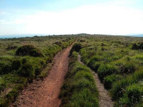
Rowberrow’s a place I rarely feel inspired to visit. We only briefly cut through it on the 1st of June and some of my previous experiences of walking through here have left a very wet impression between my toes.
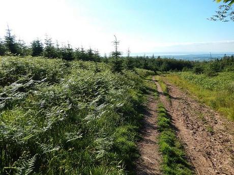
But this day was a dry one and despite feeling bewildered in my attempts to match the various paths ahead of me to an insufficient number on my OS map; it wasn’t long before the rise of Dolebury Warren came in to view (my next target).
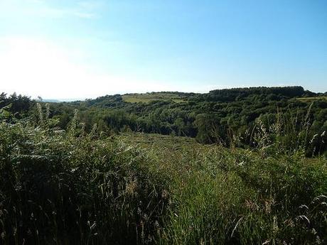
Dolebury Warren from Rowberrow.
It took a while for me to work my way around and on to the right track that would lead me on to the entrance I’d passed on the way up from the A38. As I attempted to give direction to another walker looking decidedly out of navigation; I clearly wasn’t quite where I thought I was either! A rather embarrassing realisation, when you’re somewhat regularly entrusted with a group of followers in tow.
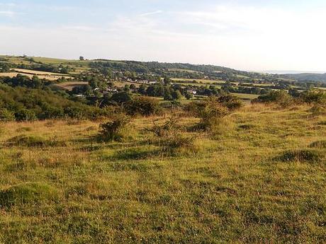
By the time I reached the familiar heights Dolebury Warregn, the sun was beginning to drop and I decided to stay awhile.
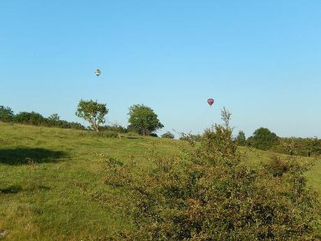
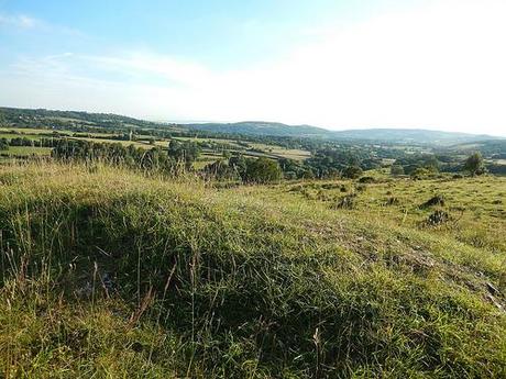
All the way to Crook Peak.
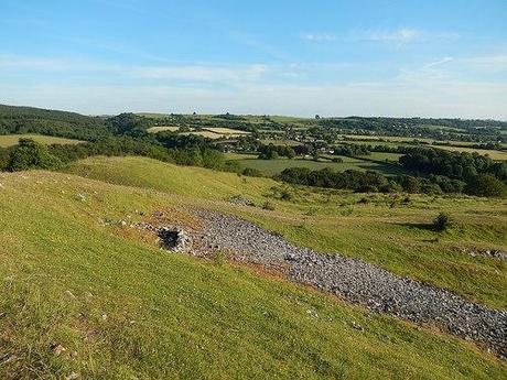
Looking back towards the hills.
As I continued along the ridge in a direction towards Churchill and Sandford, I turned in a rookie sheep-herder, as I searched for my next path that would return me to the north.
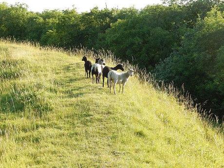
Making my way back over the A368, I picked up another favorite footpath from the past that would lead me to the A38 in Churchill. I remember it being so much wetter the last time – plus, I’d only parked around the corner from here.
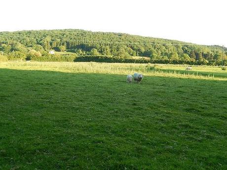
I decided from this point to try a different route, although it wasn’t clearly signposted. Beginning just north of the university, I soon began to feel as though I was traipsing through someone’s expansive private garden!
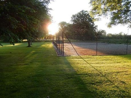
Although I’m confident I was heading in the right direction, the path ended abruptly at the next field and without warning.
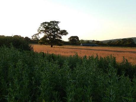
There was no clear right of way. Not even a means of passing the fence and heading in to the towering crops. As I stood on a path and glared at my map, I eventually realised it led to another familiar path that I could pick up on and follow almost straight in to Wrington.
By now, I could hear The Wurzels playing at a local farm in Langford. In fact, you could hear the sound quite clearly from Burrington Ham and Dolebury Warren. There was barely a breeze that evening. Their support act (I assume) were rolling out the Thin Lizzy covers. The event wasn’t without its fanbase either and not to mention the manned farm field/car park.
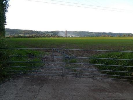
As I followed the tarmac back up to my village, I was stopped by a woman in a large family asking if I could take a picture of them under the setting sun (they’d all had a bit to drink). Of course, I obliged. One asked where I’d been and commended my efforts for having walked so far. To another, I was ‘a hero‘. While one of the crowd seemed perplexed… I think he was curious in respect to the fact that I’d caught the sun and that my answer didn’t sound like an exotic location he’d ever heard of!
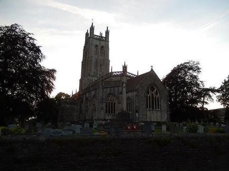
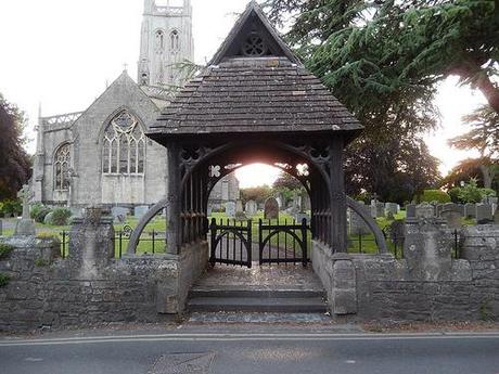
My local church.
I can’t now remember the exact time I arrived home but I feel it was beyond 8.30pm. I’d made a mountain out of a walk that was only supposed to occupy me for a maximum of 3 hours but I’d do it all again. Perhaps next year, I’ll spend this date down on the Quantocks?
Thanks for reading.
