Saturday 29th August 2015
This was our second installment in a long-distance walk following the Somerset Coast Path, from Bristol, south and then west to the North Devon border at Lynmouth.
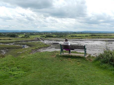
As there is no actual coastal route between Clevedon and Weston-super-Mare, this is a troublesome stretch for many and, having both read the accounts of other bloggers and coastal walkers passing through here; we were lacking in optimism for what obstructions and obtrusions may lie in wait ahead of us.
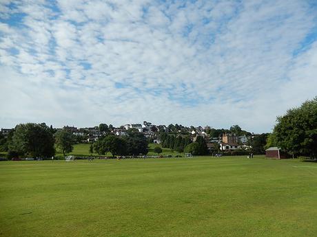
We left one car at a layby off the A370 in Hewish, before setting of for Portishead Marine Lake and our startpoint. If you were to follow the guide in Damian Hall’s book to the letter, this walk would only take you as far as the south-west corner of Clevedon; totalling a mere 7 miles, compared to the 12-13 miles we covered in part one.
After Clevedon, the guide official leads you on a route that totals something like 17 miles… I can’t recall the exact number but it felt like a bit of a stretch, with the uncertainties around the middle; giving us further incentive to divide in order to conquer this section.
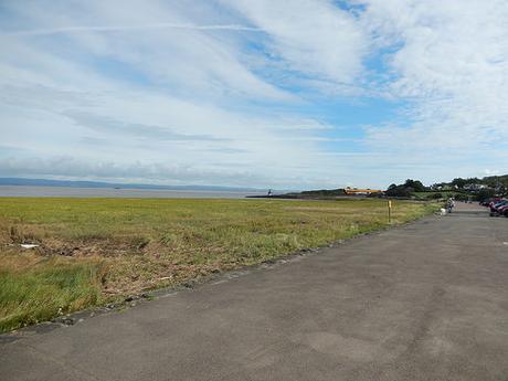
Personally, I previously walked the Portishead to Clevedon section a few months ago with another friend. Back in April, we actually walked from Clevedon to Portishead, before a return along the same route, totalling close to 14 miles for a late spring/early summer’s day.
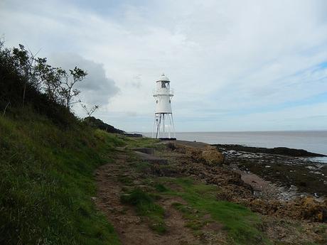
So, my preference was to march on through this section as I’d already lived it.
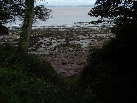
While the Bristol Channel itself doesn’t offer much in the way of visual appeal, especially once the sun hides away.
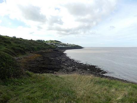
It must’ve been a good two-and-a-half hours before we Portishead and the Gordano villages behind to reach Clevedon. We made several rest stops along the way, partly I because my legs were experiencing ‘work lag‘ and also so that Anna could witness the lighthouse and some of the better views across the Channel to Wales.
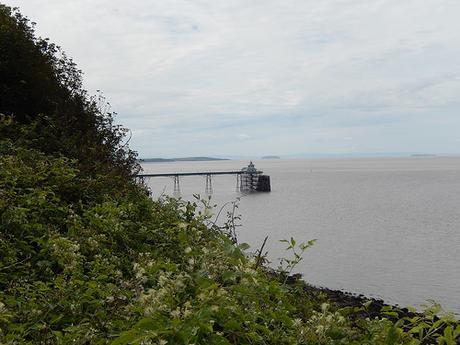
It’s when the Victorian Pier comes in to view that you know you’re about to step in to Clevedon.
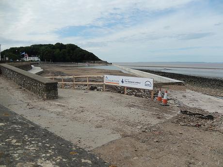
We actually passed by someone I know from the walking group as we reached the more tourist-welcoming part of the sea front, just beyond the pier. Clevedon’s Marine Lake appeared to have less water in than the last time I saw it and there is no clear indication as to what all this funding is going to do to improve it?
My only childhood memory is of getting a strap and lace-less shoe stuck in the mud, here…
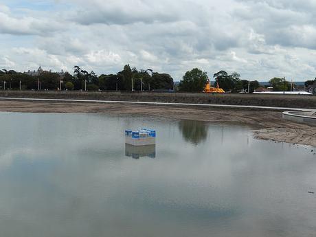
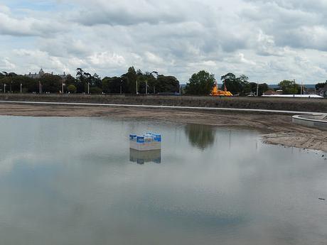
Are they going to try and supply it with clear, inviting water?!
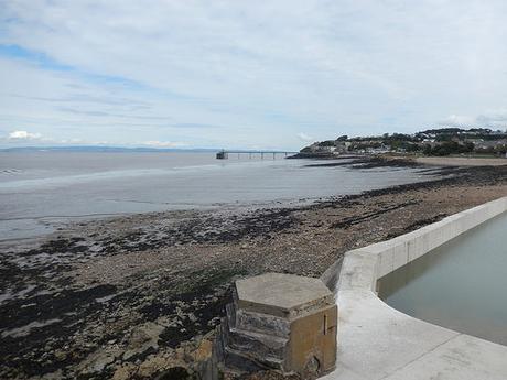
A Flower Show and Festival had taken over the Salthouse Fields so, as hungry as we were, we marched on towards the top of the hill fort, following the Poet’s Walk for a brief while (after scrambling over sandbag flood defences that had been put in place after recent torrential rain).
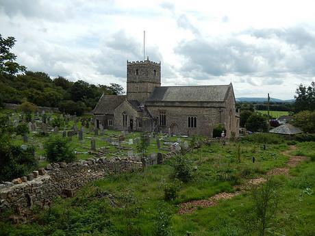
St. Andrew’s Church, Clevedon.
We ended up with a clear view of the route ahead…
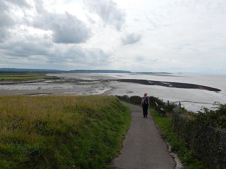
And it wasn’t particularly inviting from up high!!
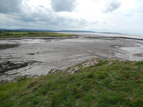
It was quite frustrating to be able to see Sand Point, knowing that a long walk inland would be required in order to complete that journey. I like to think there’s something we, as walkers, could do in order to ensure completion of a coastal path from Kingston Seymour. But it still looks as though the council have every intention.
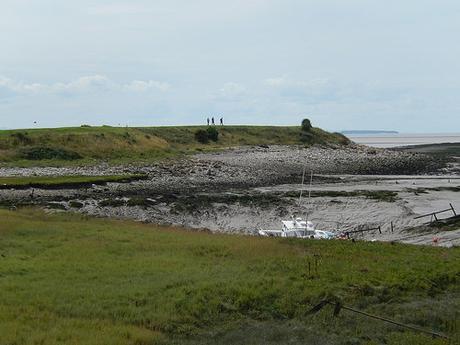
We followed what looked like a pairing of tarmac and gravelled cycle paths before an obvious route became apparent along higher ground.
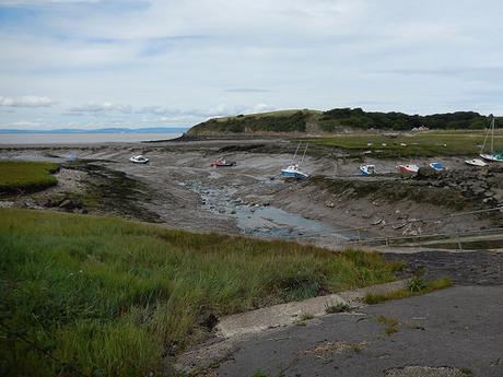
There wasn’t much to admire beyond the mud at this point but we’d soon find ourselves walking pleasantly along what I can only think to describe of as a sea wall.
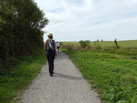
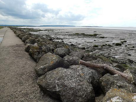
This flat stretch went on for a while and where we were indicated to turn left along a designated footpath, it looked as if you could follow the path further beside the coast, where fishermen he set themselves up for the afternoon. But according to my OS map, there was no other path ahead that would legally allow you to return inland.
While I admire that other coastal walkers may’ve had the courage to ‘fully exercise their right to roam‘, we weren’t looking to break any laws… Or to become the latest victims of some Demonic Cow!
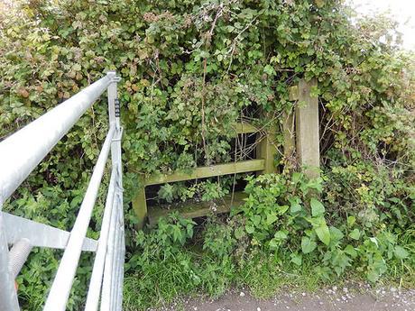
Nearing what would become a long stretch of tarmac walking, I (just about) spotted this stile in the hedge to our right. I was going to report it but, looking at the OS map (approximately ST 390 693), there was nothing to suggest that any legal right of way here currently exists.
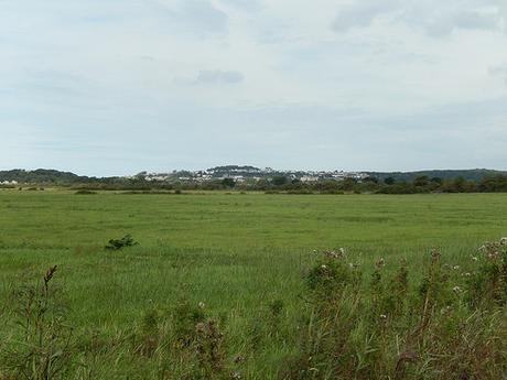
As Clevedon began to fade away, our legs grew tired as the sun’s heat continued to radiate from the hard ground beneath us. Also, this was probably the longest distance we had walked on this day without stopping for a five-minute rest.
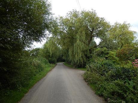
There was a point shortly before we left Kingston Seymour, where we found a passing place and the roadside and took a seat in anticipation of the struggles that may await us in the coming hour. Sitting at the roadside may not sound like a pleasure but it offers a time to appreciate the forgotten flexibility of your knees and, as I discovered, how the camber to a road’s surface can supply a reasonable level of comfort to one’s back!
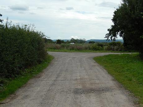
A little further on and we were witness the M5 motorway (somewhere between J20 and J21) at eye-level. It was almost surreal, seeing the cars whiz by in the “field” ahead.
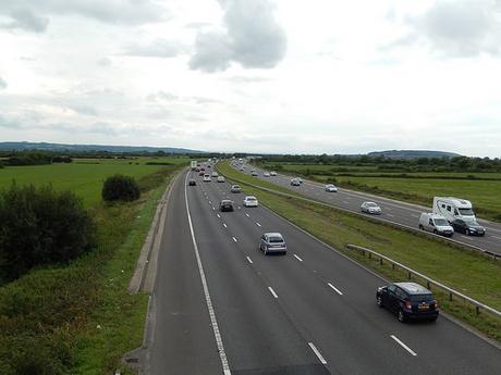
A bridge was on hand to carry us up and over the Bank Holiday traffic. It may be worth noting here that caravans were heading north, contrary to popular belief.
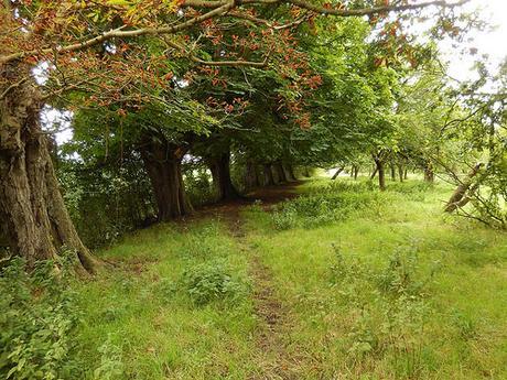
We made our way in to this tranquil-looking orchard, we trees acting as a barrier to safeguard you from the nearby rhyne.
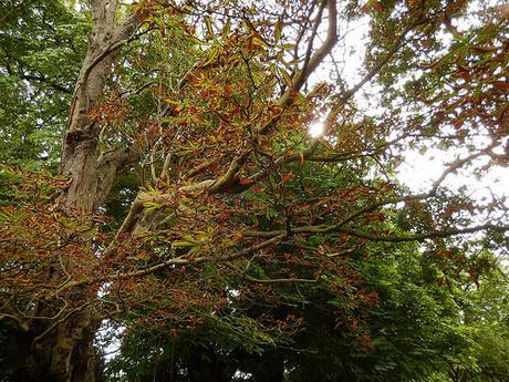
We also passed a waymark for the Round Yatton Walk. Now, I’ve lived close to Yatton for my entire life and yet I’d never even heard of this before. But it looks to be a series of short walks around the village boundary that I might try to investigate. It must be quite lovely to walk through here in the autumn; it’s just a shame it’s such a pig to get to.
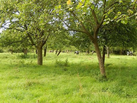
Up ahead, we could see our exit stile. But, from the right, a growing herd of cattle had become aware of our presence…
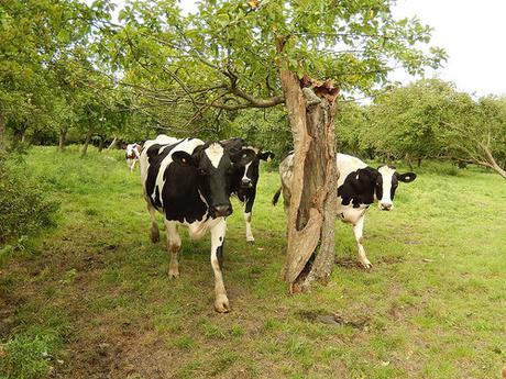
Anna made it over first as I held back to make sure they didn’t get too close too quickly.
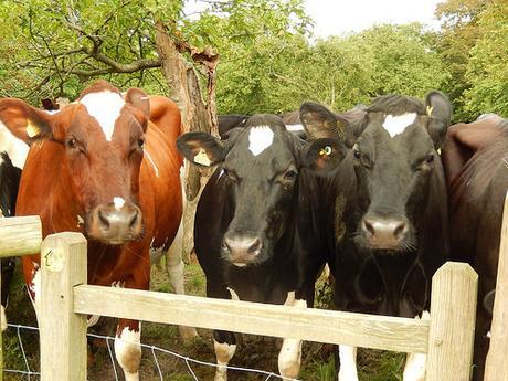
What was most strange about this herd was that a few of the front-runners appeared to be slobbering and then throwing that saliva over their backs!
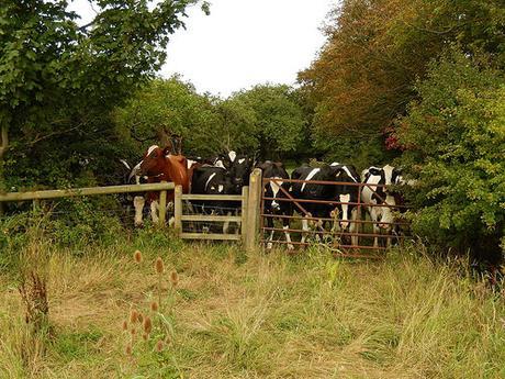
Now, we were following the rhyne to our left, along an undefined path where your feet would get soaked in the event of wet weather. Over to our right was the motorway and the ever appeasing sight of a broken down caravan on the hard shoulder:
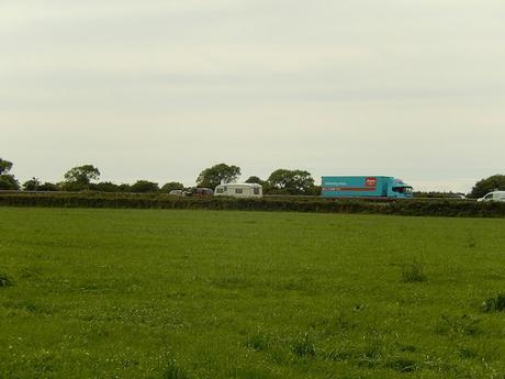
This is an argument for why hard shoulders should never been opened up as a regular lane for moving traffic.
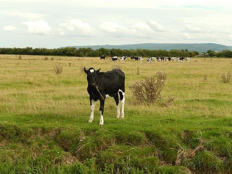
We saw further cows ahead of us. Only, it was hard to see whether they were in the same field or on the other side of the rhyne… As it happened, we were safe. Although that didn’t stop the cows across the water from dashing off! One brave beast was halfway down the ditch sampling what must’ve been North Somerset’s finest grass… I guess landowners don’t teach their livestock that the rhynes here can be as much as 5m deep!
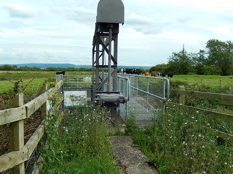
We then crossed over a wooden footbridge to climb another field, with Phipp’s Bridge up ahead.
This was the one point we were afraid of – and yet, the frightening part was looking down beneath your feet as you crossed the steel mesh walkway! I guess other walkers had experienced the misfortune of using other crossing points, both for the river and also the motorway. We did see any overgrown brambles and there was no slime beneath our feet.
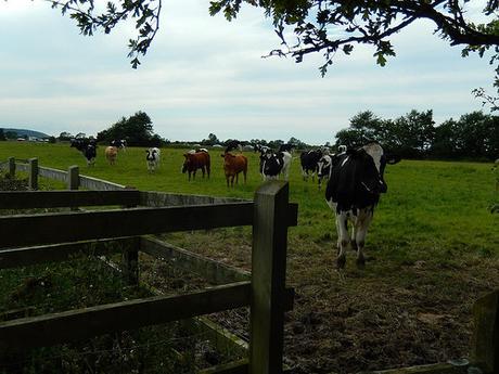
From whichever direction we were going to head from here, we were going to be greeted by bovine beasts. That was unavoidable.
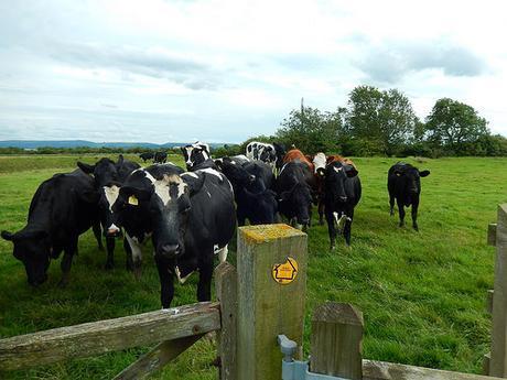
As we turned left to briefly continue following the River Yeo, while giving the cows a wide berth; they herd ran away and allowed us plenty of room.
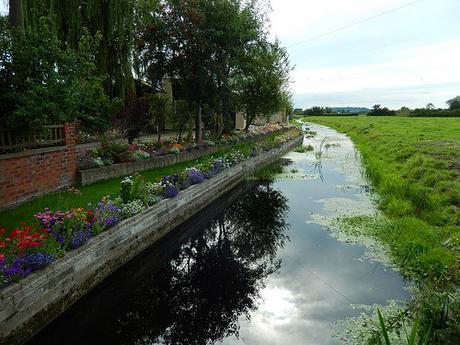
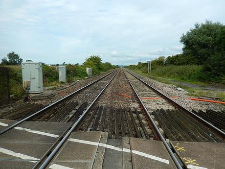
Finding the next couples of paths could be tricky without a map or written guide but you soon arrive upon a quiet road in East Hewish. Beyond that, a railway line crossing lead us back to the A370 and only a short distance from one of our cars.
So, it turned out to be a heck of a lot better than we’d expected and we both anticipated this might have been the most difficult stretch of the entire 120-mile route.
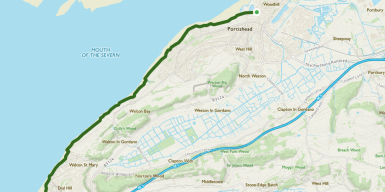
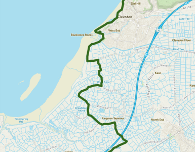
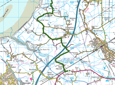
Distance walked: 13.63 miles
From here, we’ll face a good ten-miles of walking (inland) before reaching the beach at Weston-super-Mare.
Thanks for reading.
For a full album of photos from this walk, please click here.
