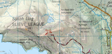
With full coverage of the Republic of Ireland in 1:50k detail – OSi (Ordnance Survey Ireland) maps complete any hiker’s toolkit. These richly detailed maps have been the work of Ordnance Survey Office since 1824 and later became a state body under the Ordnance Survey act of 2001.
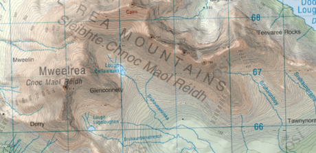
 The Mweelread mountains on OSi 1:50k
Used by hikers, walkers, mountain leaders and mountain rescue (not to mention the non-hiking related professions, i.e. construction, architecture, planning, military etc), OSi is a must-have for exploring the Emerald Isle.

Digital maps for OSi are now available on HiiKER as part of a HiiKER PRO+ Subscription. With HiiKER PRO+, you will have access to all premium maps in the range, such as
- Ordnance Survey GB
- Harvey Maps
- EastWest Maps
- Ordnance Survey Northern Ireland
- USGS
- IGN France
Head over to Hiiker.app to view the range of packages available now.

