William Roy, a young and innovative engineer was tasked with developing a small-scale military survey of Scotland during the Scottish rebellion of 1745. This 8-year survey paved the way for the development of a national survey of Great Britain.
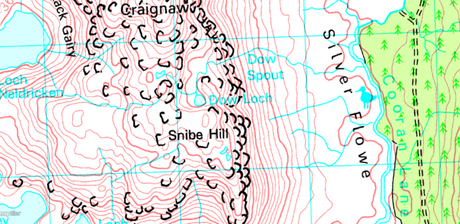
 Image of Snibe hill in the Lake district on OS gb 1:50k
In 1791, Ordnance Survey was born thus starting the task of mapping the entirety of the British Islands. Coastal areas of the country were prioritised to enable the military to identify the areas of weakness should they be attacked by an enemy. The maps were not published to the public until 1801 and were not even branded as OS maps until 1810.

Back then, maps were only owned by wealthy people and were a symbol of that wealth. They were considered works of art. Today, they are still very much considered as works of art that mark a point in time for the land and society within it. But they are no longer a symbol of wealth, but rather they are a tool for all to roam and explore the lands around us.

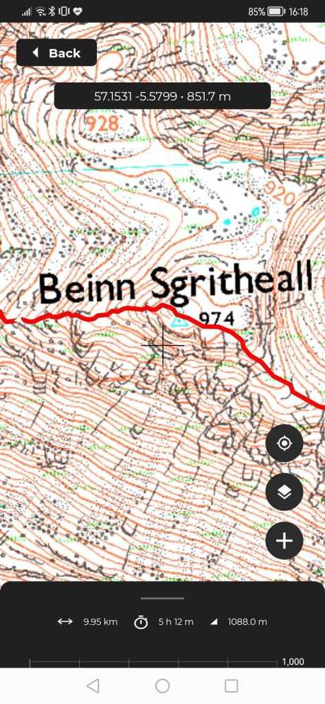
We are absolutely thrilled to now include OS Maps (1:50k and 1:25k) in our range of Premium Maps on HiiKER. With a PRO+ membership, you will have access to these maps for the entire country. So whether you are following a curated trail like Beinn Sgritheall in Scotland, tracking your own walk or your planning a route, you can combine over 200 years of map design with the latest HiiKER features.
Head over to hiiker.app to check out our premium map packages. Other map layers that are currently available include:
- Ordnance Survey Ireland
- Harvey Maps
- EastWest Maps
- Ordnance Survey Northern Ireland
- IGN France
- USGS

