Note: We hiked Mt. Sipit Ulang last January 29, 2017. This was a few months before we started blogging so this post may not be as detailed as we prefer it to be.
I’ve always wanted to do a hike with my cousins but we all couldn’t seem to decide which mountain to pick. For most, it would be their first time climbing a mountain so it was important that we pick a hike that wasn’t too hard nor too long. We wanted our first hike together to be memorable and narrowed down our choices to beginner friendly mountains within Rizal and ended up choosing Mt. Sipit Ulang.
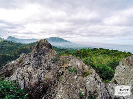
Drive
The drive to Mt. Sipit Ulang was okay, there were parts that were too dark and because it rained the previous day, navigating much of the road near the jump-off meant avoiding deep puddles. We had ordinary sedans, so it’s definitely doable for most cars. If it hadn’t rained the previous day, the road might have been in better condition.
By 6 AM, we already parked our cars and there were already a few groups who registered before us. After we paid the environmental fee and guide fee, we began hiking.
Hike
The hike was relatively easy and fun. The trail was never boring consisting of just the right combination of challenges from tight caves, to ladders, and rock scrambling.
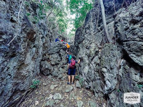
Scrambling
Summit
We reached the summit earlier than expected. But since there were at least two groups ahead of us climbing the rock formation, half of the group waited on the bench while the other half went with the guide to explore the rock formations on the other side. It’s a good way to kill time plus the view was amazing.
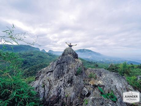
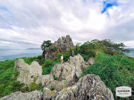
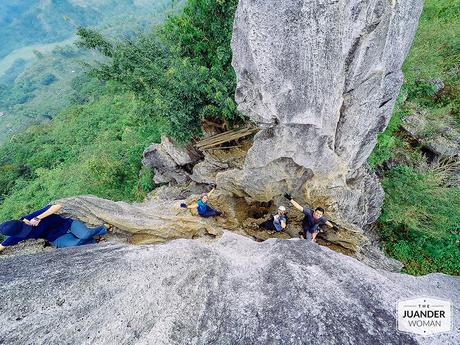
Finally, it was our turn to climb the rock formation. Your guide will happily take photos of your group from the other side. We were just left amazed at how easily our guide navigated the terrain while the rest of us were glued to our positions, clinging to the rocks.
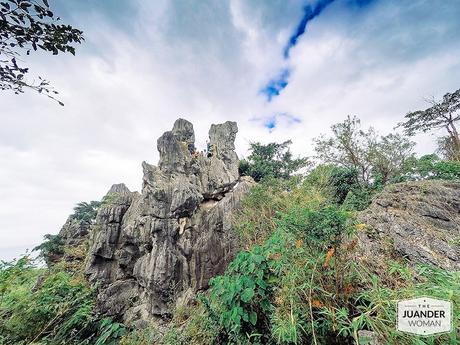
Our group at the rock formation of Mt. Sipit Ulang
Descent
For the descent, we took a different trail which was way faster and easier. We no longer took photos because everyone was already hungry. It took us about an hour (or maybe even less) to reach the jump-off point.
Payaran Falls
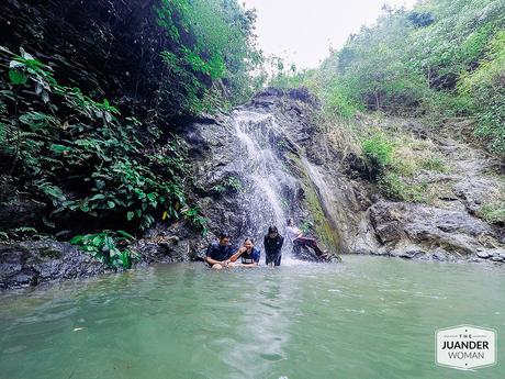
Payaran Falls
The hike to Payaran Falls was hot and half of the trail wasn’t shaded. The rocks near the falls were a bit slippery so those wearing slippers had a harder time. Once you arrive, you’ll have the urge to take a dip. The water was really cold and a quick dip was enough for all of us. We didn’t stay long because the waiting area wasn’t enough to accommodate all the groups and with another group coming in, it won’t be comfortable.
Mt. Sipit Ulang Photos
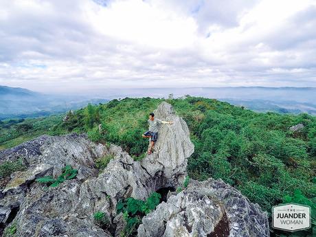
Our Guide
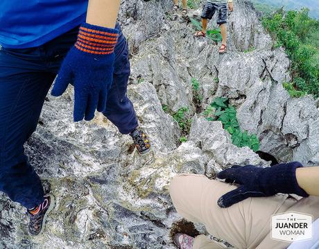
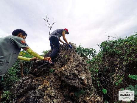
Trust your guide
Notes:
- Wear gloves! There were gloves for sale at the jump-off but just to be sure, bring your own pair.
- If you have private transportation, you can leave your clothes and lunch in your cars. If you start your hike early, you’ll be back at the jump-off area before lunch.
- Don’t bring bulky backpacks, the ladder portion is narrow.
- There’s a store at the summit selling a few snacks and drinks (not sure if it’s open during weekdays).
- Photos were taken using GoPro Hero Silver 4.
Mt. Sipit Ulang Itinerary
- 4:30 AM – Met with the rest of the group along Commonwealth Avenue
- 6:00 AM – Arrived at Jump off point
- 6:30 AM – Started Hike
- 9:00 AM – Reached the summit
- 10:30 AM – Started Descent
- 11:30 AM – Back at the parking area
- 11:30 – 12 NN – Lunch
- 12:00 NN – Started hike to Payaran Falls
- 1:00 PM – Payaran Falls
- 1:30 PM – Start hike back to jump-off
- 2:30 PM – ETD Jump-off
- 3:30 PM – Start drive back
