To conclude this three-part series in disclosing the truth of walking Weston Hospicecare’s thirty-mile Mendip Challenge, we’re going to take a look at the final 10 Mile Route.
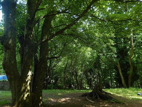
Beginning at Kings Wood near Winscombe; this is where participants in the 10 Mile challenge set on from, on their return to Uphill.
I believe their walk started at 13.00 and I came to rest here for my twenty-minute lunch stop at 13.50. They wouldn’t be far ahead of me and the reduced number of available sweets at the checkpoint here suggested that a number of walkers had already passed through!
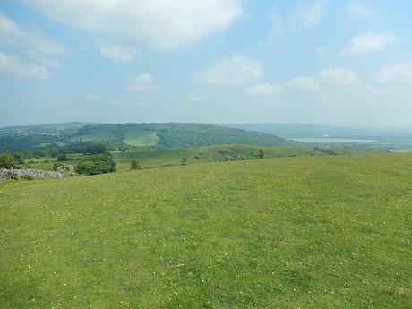
While this may be seen as the ‘easy’ option for people wishing to tackle the Mendip Challenge; it is by no means leisurely, as the walk begins immediately with an ascent up along the rocky terrain of the woods to the summit of Cross Plain.
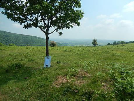
It was at this latest high point that I found a larger sign-board resting against a lone tree. I believe this was the ‘selfie spot’ that received a mention in the e-mail participants would’ve received prior to the event. As I burst from the shade of the woods and out, once again, in to the blazing sun; the camera man was headed in the opposite direction.
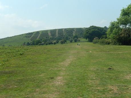
I’m not a huge fan of selfies but from here on across the hills, you can begin to look back over your left shoulder to Cheddar Reservoir, as it fades along with the footsteps you have left behind. Before you know it, there’s another short but steep ascent to the top of Wavering Down, where I trig point to the left makes for a popular vantage point of the landscape ahead and far below.
There’s a choice of paths up to Wavering Down… I always favour the one on the right, where I found the rocks and uneven terrain help to provide ‘steps’ up to the top. On the left, the path is far smoother but also slippery when wet.
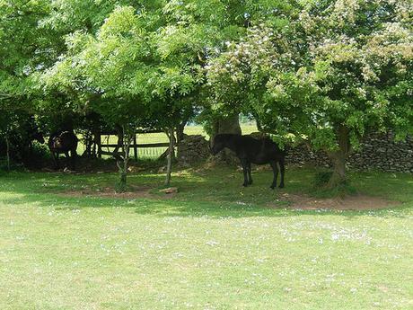
Wild horses took to the shade.
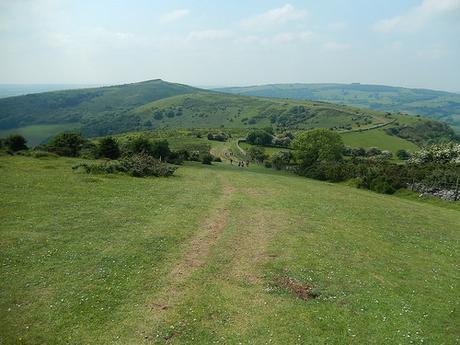
If you’re walk began some twenty-miles back in Wells, you’ll not be surprised to see that the way head descends rapidly in front of you (what goes up, must come down…).
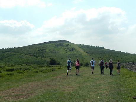
I’ve always found it strange that the West Mendip Way does not include a climb to the top of Crook Peak but instead, bypasses its northern face. A climb to the top is entirely optional (I’m sure some are grateful of that). I’d intended to do it this year but with the heat and my own lack of sufficient training, I was looking forward to finishing the walk, as the soles of my feet only continued to complain.
It didn’t look as though many others were prepared to make the optional ascent. I’ve been told in the past that a full circumnavigation of the Peak adds one-mile to your walk.
Descending the western face of Crook Peak can be deceptively tricky and very tough on your knees. Especially for those who have already walked two-dozen miles. While the path is clear, it can be quite treacherous in wet weather. Heavy rain and thunder had been forecast to appear around this time and I was praying for such a relief… Yet, the sky blue with only pale fluffy clouds to intermittently provide protection from the sun.
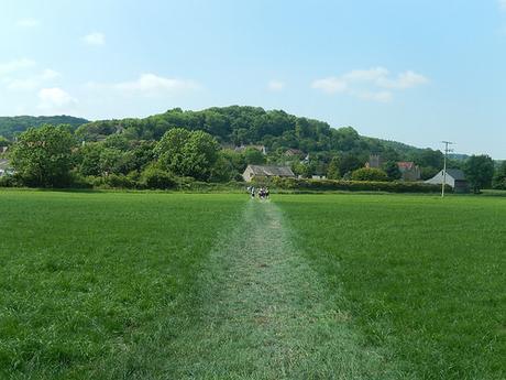
Walking left along the next road and beneath the Webbington Hotel, you then turn right at the end, to meet your next (optional) water stop before continuing towards Loxton and over the M5 motorway.
From Loxton, the route begins to climb once again, as you begin an ascent of Bleadon Hill – the final significant hill on this challenge!
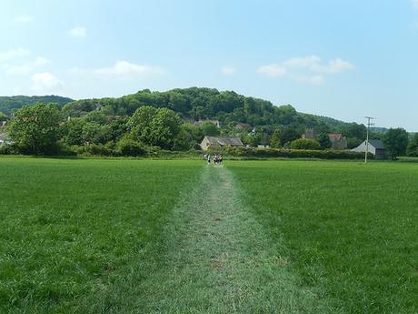
For any 30 and 20 Mile walkers moving at above-average pace; be aware that you are likely to catch up with other walkers on this bit. I’d like to point out that a little courtesy goes a long way. To many people, this is not a race but a challenge for themselves and a means of helping the hospice.
Compared to each of my previous two-years of walking this route; I couldn’t remember the climb to the top of Bleadon Hill being quite as long and arduous as it seemed to be this year. Maybe it was the heat, again, taking its toll.
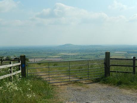
When you do get there, an ancient Roman Road, running as flat and true as an arrow (for the most part) will soon lead you to your next checkpoint. I remember that a stop here is compulsory, purely because the attendant (if that’s the word) noticed that my right wrist had swollen considerably as he went to remove another tab from my wristband.
True to his task, he asked how I was feeling and aside from sore soles beneath my feet, I was not unwell and without any form of headache. Perhaps I was a bit dehydrated, even after having consumed more than 2lt already on this walk (I remember there being 0.5lt left in my 2lt pack, when I checked).
Really, it’s an added bonus for the idea of using wristbands. In 2014, we had tracking chips tied to our shoelaces and checkpoint attendants simply made a note of our bib number as we passed.
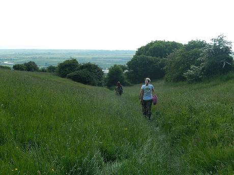
A large number of people had stopped beneath the canopy at this checkpoint. Without a doubt, the biggest gathering that I had seen.
It’s a long walk along the top of Bleadon Hill amid a high temperature… Beyond the golf course, you turn left to leave the Roman Road beside a dip in the way ahead. Once again, you’re heading downhill.
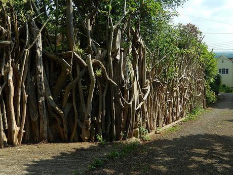
Stepping briefly in to the village of Bleadon, I always like to take a photo of this unique boundary ‘wall’. There’s a sign (not pictured) affixed at some point, with text in either Spanish or Latin.
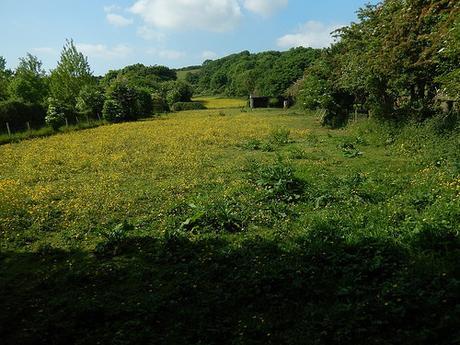
Beyond that, you descend a flight of wooden steps (where, I’m pleased to say, two of the broken and missing treads from last year have since been replaced) before descending further and soon walking beside this ever-beautiful meadow.
There’s one last unexpected climb up Purn Hill before you turn back on yourself at the road junction; soon dropping to a road that runs parallel to the A370. Right, along here, you’ll find the penultimate checkpoint ahead of your grand finish.
For a first on this year’s event, I’m pleased to say that volunteers were on hand to stem the flow of passing traffic so that groups of walkers could cross over safely. It’s a shame that one idiot in a a small silver car missing both number plates decide to drive and give us all the finger… I do regret not taking a photo of that!
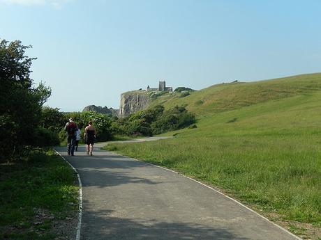
Walking right along the pavement, you again turn back on yourself beyond the railway bridge. While I spotted this remembered it from last year, the guy I was walking next to disagreed and continued to follow the road, on the tail of many others… Oh, well. I did try.
Now skirting the northern edge of Bleadon Levels Nature Reserve, you soon find yourself returning to Uphill beside the boatyard, with the iconic image of the hilltop church to wing you over the finish line.
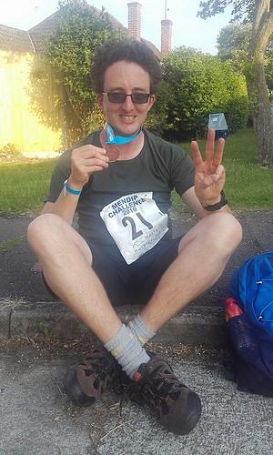
It’s a nice feeling when there are recognisable people cheering you on as you make your return through the gates of Westhaven School. I was fortunate to have a friend on-hand in 2014. For two-years now, it’s also been special to have Weston Hospicecare volunteers applauding your personal triumph.
Likewise, you’ll probably receive praise from other walkers you’ve met along the way – in my case, the majority of them arrived five or ten minutes after I collected my medal! But that shared sense of achievement and the recognition for and from your fellow participant is to be savoured.
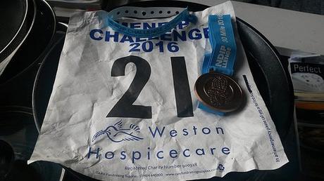
I waited another hour for my friends to finish. They were as surprised to see me as I was pleased to be able to celebrate them – drink in one hand; smelly shoes and socks safely contained within the boot of my car! If you get a chance to sample the ice cream, I highly recommend it! There’s also hot food and cold drinks available to purchase after the event (water is free). So much spare chocolate was left over (donated by Lidl) that the organisers were struggling to give it away. There’s also plenty of green space on which to sit down or collapse, depending on which you may prefer.
I hope this short series of posts has given you an idea of what to expect on the Mendip Challenge for 2017 and beyond. Long may this event continue! If you’re in any doubt, I’d encourage you to at least sign up for the ten-mile walk.
