Sunday 31st July 2016
This was my first ever walk in the Malvern Hills; an area of outstanding natural beauty and only a ninety-minute drive from home; for which, I purchased the relevant Ordnance Survey map almost a year before taking my first steps.
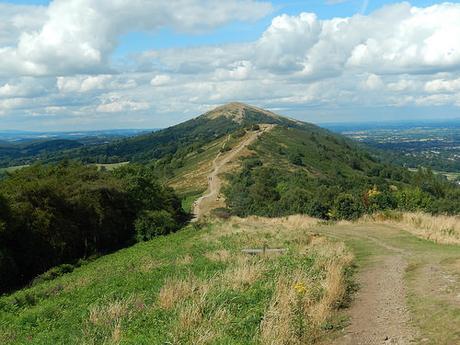
I have a feeling this walk may resonate particularly well with one of my regular readers, whose wife originates from this part of the world. This walk covers much of the southern half of the hill range and I intend to explore the northern portion before the end of this year.
Definitely not my car – just FYI.
My walk begins from the free car park at Hollybush, just of the A438 and alongside a public bridleway that climbs north up and over Midsummer Hill.
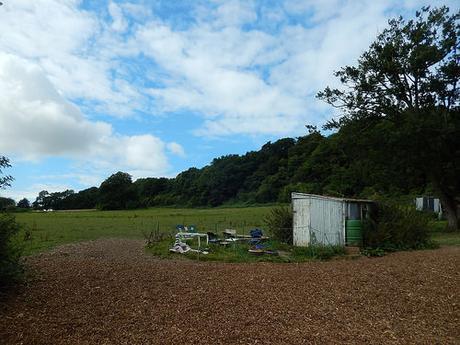
However, my walk would begin with a brief venture to the south. From the moment I crossed the main road, I found myself uncertain of where to turn next, due to a lack of footpath signage. So, I walked east, past a tiny campsite (fit for no more than half-a-dozen tent pitches, as far as I could see) and then turned right to follow a quiet road.
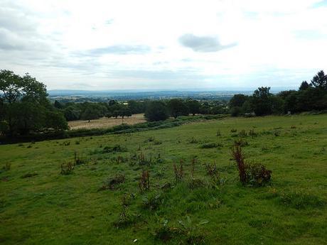
I soon found a waymark on my right and felt confident, diagonally crossing the field, that I would soon reunite with the route I’d intended to follow.
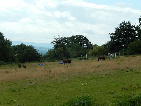
Then, there were horses. Beyond them, I could see now way forward. I followed a couple of ‘tracks’ that cut around their enclosure but each led to a dead-end or overgrowth of bracken and gorse. Eventually, I would retreat back to the road, follow the tarmac a bit further and try the next option, which appeared to be a bridleway.
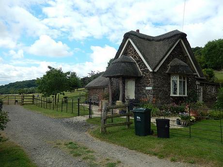
This option was, by far, the better one. Beyond the compact country cottage with its thatched roof, the way ahead was clear and easy to follow. I passed dog walkers heading in the opposite direction, before entering the woods of Whiteleaved Oak.
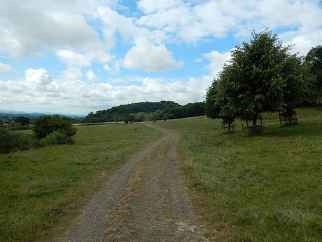
Now, I was following the Three Choirs Way and would soon pass a group of teenagers, accompanied by a small number of adults – possible Duke of Edinburgh participants. Or maybe they were scouts.
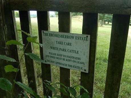
I walked too far along this path and accidentally entered the Bromesberrow Estate, for a moment. I was about to turn around, when I noticed another man (the tail end or ‘sweeper’ of that large group) heading towards me. Not wanting to look as though I’d made a mistake, I deliberately studied my map for a few moments and confirmed that he was still following his group… Once he was out of site, I began to retrace my steps through the woods.
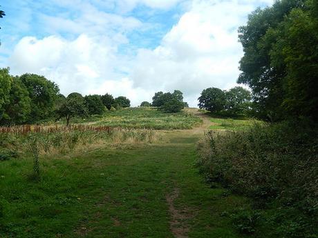
There were a number of unsigned paths ascending the hillside from the base of these woods. I then found the path I was looking for, opposite a point at which the Three Choirs Way turns east along Chase End Street. I was relieved not to have to walk any further as I was almost on the heels of that same group of kids! Heading up the hill, I had to use my compass – again, due to a lack of waymarking, in places and so many paths.
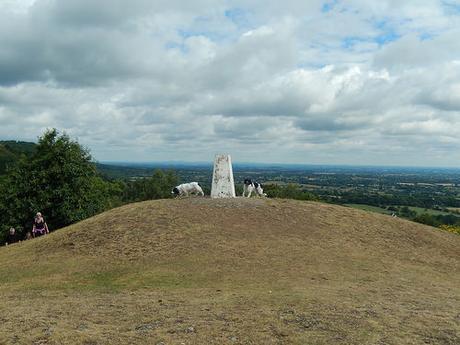
It was a steep climb to the summit of Chase End Hill and two dogs won the race to the trig point, coming from the opposite direction. Thankfully, this hill is classed as Open Access Land and so, I was never in danger of trespassing.
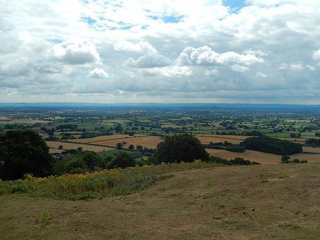
As the dog walkers move on, I set up my WalkStool and took a short break whilst gazing south-east to the indistinct line of the Cotswold Hills. I’m so used to looking in the opposite direction. This was a welcome reversal and I could just make out the masts near Cleeve Hill.
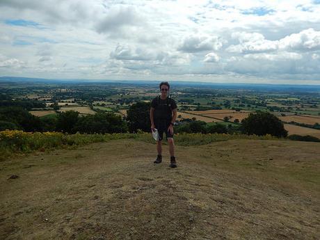
I also took a selfie from the trig. I’ll only share this one which is a bit overcast… Purely because I’ve come to find that hipbelts are unflattering, when your stomach isn’t perfectly flat!
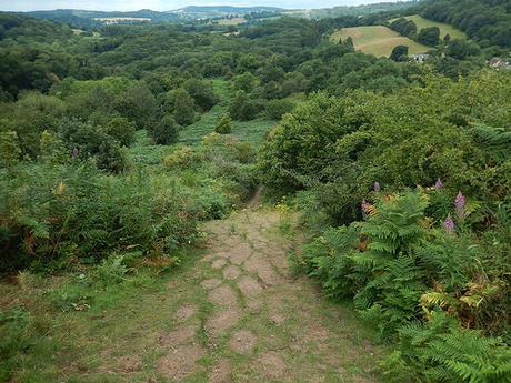
Now, I would turn north and in the direction of Ragged Stone Hill, with the car park just beyond. Immediately ahead was a sharp descent down a slope that must be quite treacherous in wet winter weather. Fortunately, I had my walking pole on hand and didn’t suffer any expected knee ligament trouble.
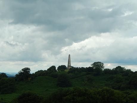
I was now following a trail known as the Geopark Way – one that isn’t highlighted on the OS map but I would encounter it again, further along. I also passed a couple of people who I would later see beyond the halfway point in my route.
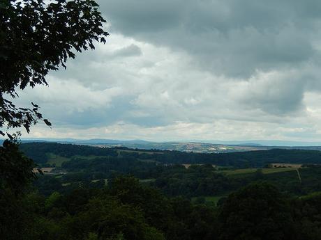
Having bypassed the car park from which I started, I was now on the ascent of Midsummer Hill; a challenging climb along tarmac that offers good views west to Wales and the Brecon Beacons (I think you can see Sugar Loaf).
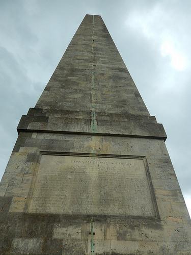
Before reaching Peacock Villa, I made a brief detour west to investigate the obelisk that could be seen from a distance. I think it was a war memorial, rather than an Egyptian artefact (this is Worcestershire, of course and not Dorset…). Far below, I could hear a man bellowing through a loudspeaker or megaphone. There was an event taking place and it sounded like kids were competing against one another.
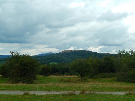
A larger portion of the Malverns still lay in wait, ahead of me.
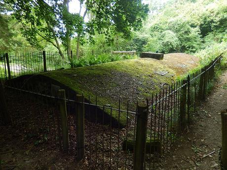
Back on the Three Choirs Way, I continued north east and in to News Wood. I possibly put too much faith in the way forward and kept walking ‘straight’, when I should’ve paid more attention to my map and compass at each junction. I’d been walking in the woods with no sign of a hilltop escape. I encountered what I assume was an enclosed reservoir but, at the time, I didn’t see the relevant marking on my map.
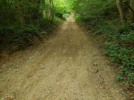
Still uncertain of exactly where I was, I climbed the steep path to my right, in the hope that I could break out and on to the access land of the hills… But from there, I only encountered a wire fence beyond narrow tracks. This path then dropped as steeply downhill as it had bought me up.
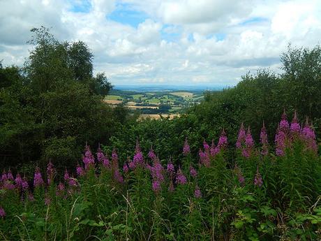
I could hear the road traffic growing louder and, as my concerns grew that I was about to miss the hills completely and arrive at the roadside, I took another gamble on a path veering up to the right… I was almost there.
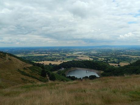
Looking now, I can see that I didn’t go very far wrong and that I might have very nearly discovered Clutter’s Cave. I reached the ridge somewhere between Millennium Hill and the hillfort of Herefordshire Beacon. Overlooking British Camp Reservoir, which I would pass beside on my return route.
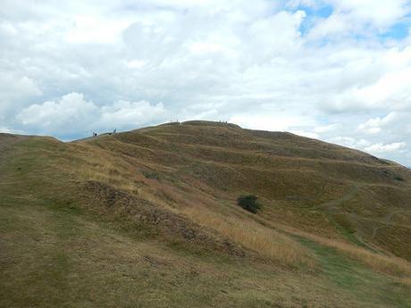
As far as hillforts go, Herefordshire Beacon is quite the stunner, with its significant ridge-like contours and ramparts. Suddenly, there were people all over the place.
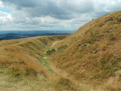
After taking in the highest point, I retreated to a lower level for what would become my next lunch stop.
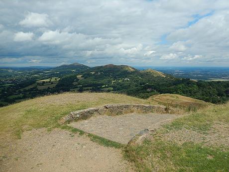
There were several hills to the north that I was still yet to encounter. You can immediately see why this is a popular place to be, once the sun comes out.
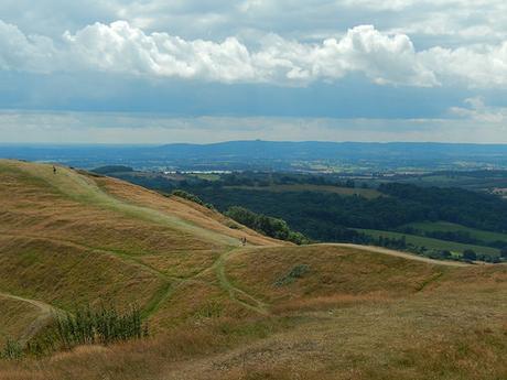
In good time, I made my way downhill and to the road, via a pay-and-display car park (I think they charge £4 for the day).
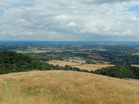
On reaching the roadside, I realised that I had caught up with the DofE group from earlier, as the ‘last man’ sat on a bench, looking almost exhausted. I think the kids were on the other side, buying ice cream.
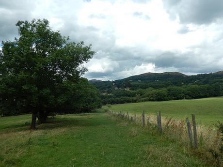
Instead of climbing straight up and over the next set of hills, I was set to follow the lower levels of countryside along a series of field paths.
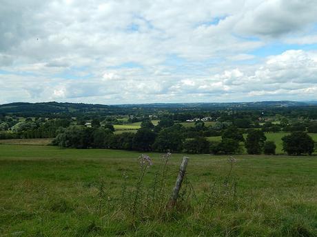
In a moment of panic with so many people and so much noise around, suddenly, I made the mistake of not crossing over on to the B4232 and instead, would follow A449 west for nearly half-a-mile; walking cautiously without a pavement.
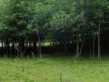
These field paths were quite pleasant, clearly marked and easy to follow. I was out of the woods, you might say.
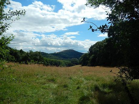
I marched on, from Evendine, past Perrycroft and through a small area known as Linden (not to be confused with a Gloucester city suburb).
I passed a pub or bar – seemingly, in the middle of nowhere – before joining a quiet road that would lead me towards the most northerly point on this route. Some of the parallel footpath was a bit overgrown for my liking and I was looking forward to my return journey along the ridge of the hills.
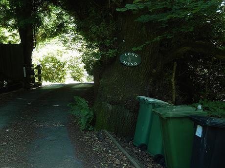
I noticed a private dwelling called ‘Long Mynd’ – this was a few weeks before I would head off to Shropshire, where the Long Mynd is a popular attraction for walkers, hikers and mountain biking. I wondered, whether it might be visible from the Malvern Hills.
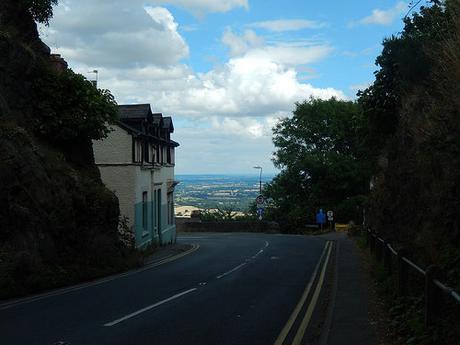
It was at this point in Upper Wyche, where the B4232 makes a sweeping turn around Summer Hill, that I would look to turn south, on my long return to the car park at Hollybush.
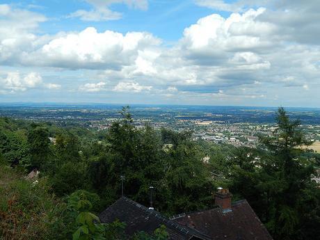
I paused for a few moments to look over Great Malvern; anticipating as though I was about to discover the best part of this walk… I’ll continue with that in Part 2.
