Saturday 14th May 2016
Having left the horror of Hinkley Point behind us, we were set to continue further along the England Coast Path, moving ever closer to the western end of the South West Coast Path.
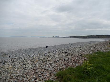
Without any inland diversion awaiting our next steps, this would become our first full and proper coastal walk since crossing the beaches of Berrow and Burnham-on-Sea, back in September.
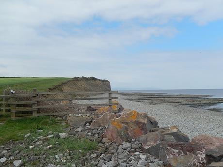
After driving along the familiar pothole-ridden road that leads to the free car park near Lilstock’s bay, we were soon on the coast path. At the other end, my car was awaiting us in Blue Anchor – amazingly, every one of the many seafront parking spaces is free to use. I’m not aware of another seaside town or village nearby that offers this. I would’ve happily paid £1 to park here all day, as I’m sure many others would, if the money could be put to good use.
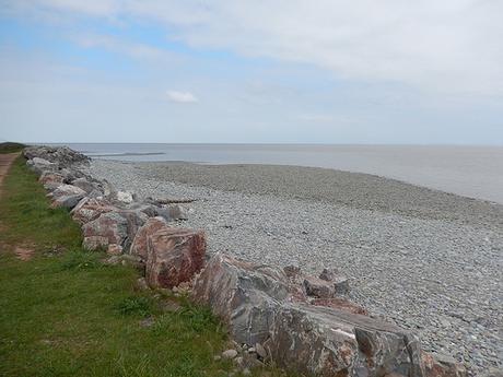
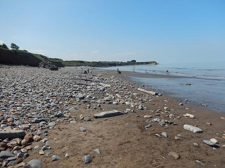
Beneath us, the beach was awash with pebbles; much like the bay we saw in our previous walk. It felt good to walking along something more than a riverbank. But you cannot argue that the “coast path” through Somerset offers great diversity!
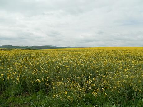
As we climbed gently up on to the headland, the fields to our left lift up with the glow or rapeseed.
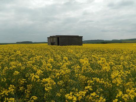
In and amongst which, we spotted this structure – which, according to Anna’s book, was a bunker used during the Second World War.
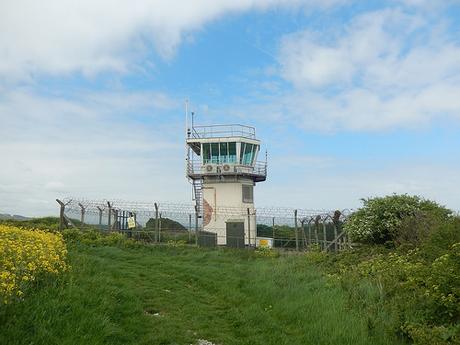
Slightly further ahead was a look out tower. Surrounded by security fencing, it looks as if it may still be in use by coastguards today, even though it looked deserted as we passed by. Although you could probably walk around the southern boundary, the England Coast Path signs direct you along the northern side; a narrow passage between tall steel fencing and a dark hedge.
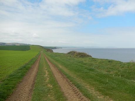
Already, the views were beginning to open up, as we looked on to where we would be walking towards the end of this challenge.
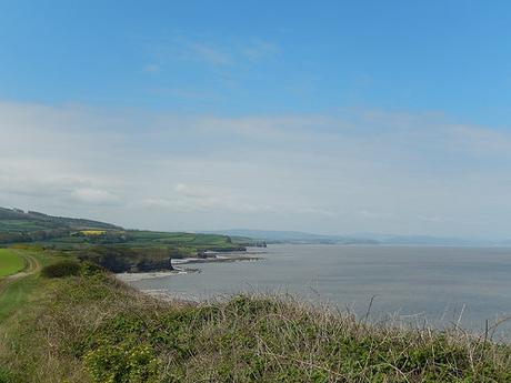
Showcasing the way forward for this walk.
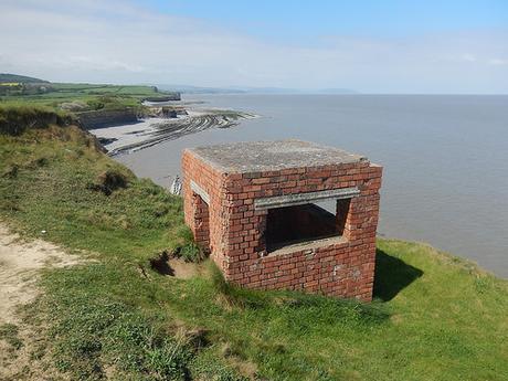
Although not stated on any of the maps I’ve seen, we spotted this fort-like building on our approach to Kilve (ST 148 445) and I headed over the rise to investigate.
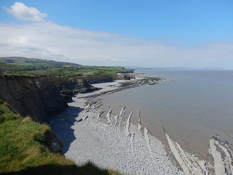
It certainly wasn’t built for the taller gentleman but the view ahead was looking more like the adventure we had hoped to find.
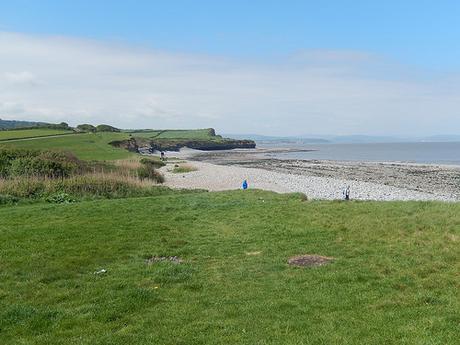
It had taken us nearly an hour to reach the beach at Kilve Pill. Like those before it; this one was littered with pebbles and small stones. As we stopped for a snack halfway up the opposite hill, we watched one woman destined to reach the mud whilst wearing perhaps not the most appropriate form of footwear.
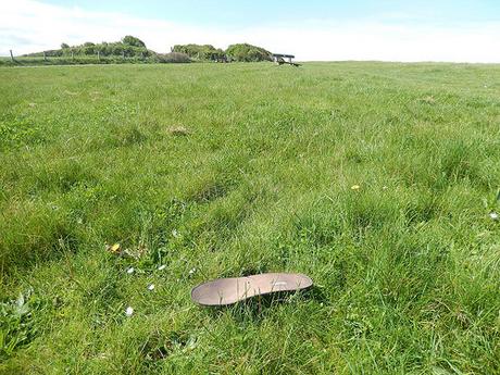
Speaking of shoes; we found this lone insole only a few yards behind the bench we had sat on. This mystery continues!
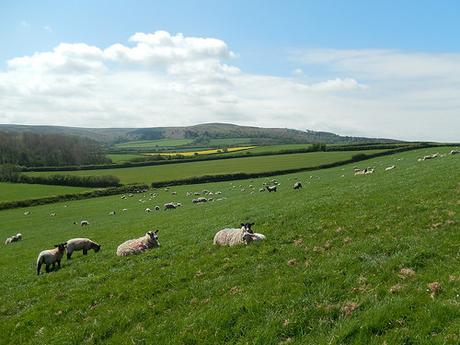
In planning for this walk, we’d both sketched out the route we would be taking online and the elevation looked as though it would be ‘inconsistent’ – although, perhaps not as severe as what you might find further south. We wouldn’t be climbing anything as steep as the Quantock Hills but we were walking parallel towards their western end.
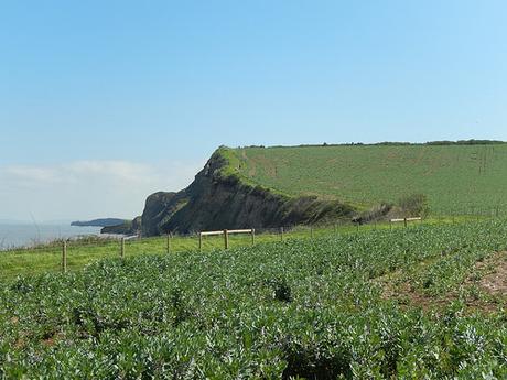
We soon encountered a steep climb up and over Quantock’s Head. Heading down the western side of the hill, we passed a small family of others who’s lack of oxygen suggested it might be tougher heading eastwards along this section.
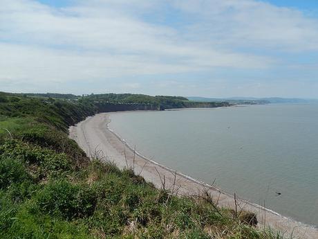
Continuing down towards David’s Way; the West Somerset Coast Path would have previously led you inland to West Hill and circumnavigating West Quantoxhead, some distance from the coast…
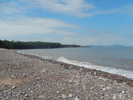
But with the England Coast Path now instated through here, the signs lead you down to the beach and along its stoney shore.
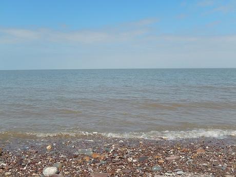
I’m not sure whether the West Somerset Coast Path has been redirected to follow the new one or, whether you can still take the inland diversion as a second option… We did spot signs warning that this next section could be impassable, in the event of a high tide.
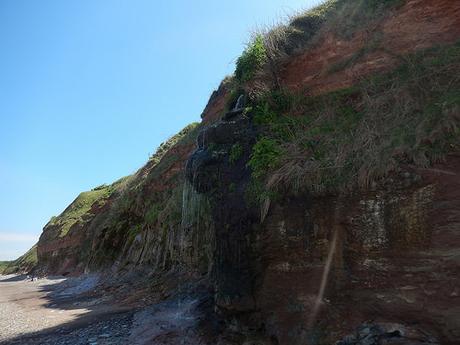
It was somewhat tiring to be walking this uneven section and our ankles weren’t overly grateful.
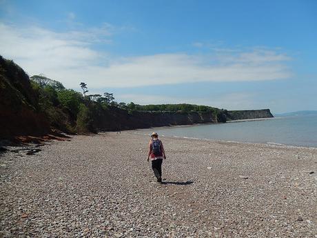
But compared to the prospect of leaving the St. Audrie’s Bay to climb hills and follow roads… There was no contest.
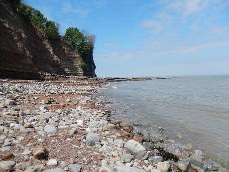
As we neared the ‘waterfall‘ on the OS map, we weren’t quite sure if we’d be able to make it around the corner to safely continue our walk at sea level…
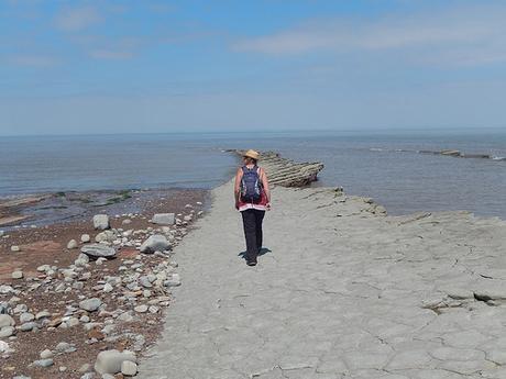
It was one of those situations where we had come so far that we just had to try it. Otherwise, it was a fair old walk back to the steps that had led us down here.
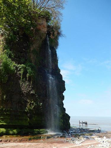
That waterfall was quite a spectacle in itself, as we walked beneath a holiday village and camp site.
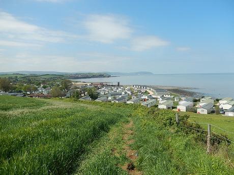
On the approach to Doniford, the coast path does require you to depart the beach up steep steps and following a quiet road to pass beside another holiday park.
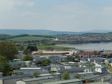
We noticed a viewpoint to our right (right next to an area filled with rubbish) and hopped over the disfigured wire fence to poach a picnic table for our lunch. Beyond the white buildings and the frequency of silver cars in between, we could just make out the West Somerset Railway, setting off for Minehead.
In Part 2, we’ll continue our coastal walk with more beach-walking and a harbour-town to follow, before reaching Blue Anchor.
