We’ll have to go back an entire month in order to recount this one. A rare walk up in the Cotswolds of Gloucestershire; a little further north than my usual expeditions. On this occasion and, I decided it was worth the added expense of fuel. Had I read the sign more carefully upon arriving at the car park in Painswick, I could’ve saved myself £2.20 as I’d have realised that parking there is FREE on both Sundays and Bank Holiday Mondays. Who’d have thought it! Even the rate of £2.20 for over 5 hours of parking seemed fair. If only that woman who informed me moments before I pushed the ticket button and not after…
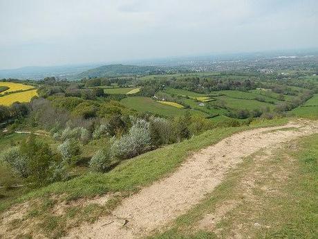
This is another one of those walks that you can find within Geoff Mullett’s Walk West series (Walk West 2). I made an addendum on the mileage towards the end but we’ve a long way to go before that.
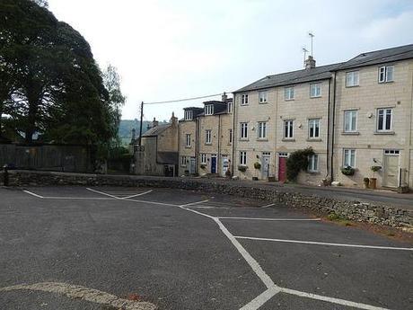
Leaving the car park, you continue down a road bypassing a line of typical Cotswold stone house.
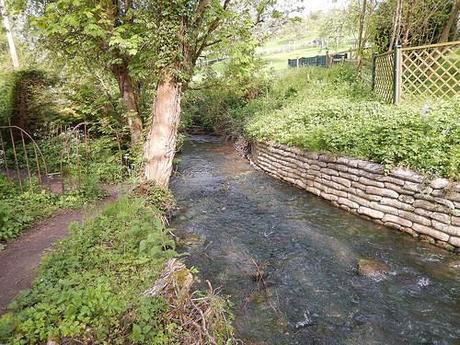
Nearing the bottom of the hill, you leave the road to continue alongside a stream that leads out and on to open fields.
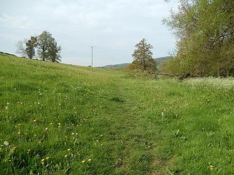
There was a in this same area – perhaps even, the very same route – being led by another Ramblers member towards the end of last year. But for either bad weather or another arrangement on the same day, I’d have attended with them.
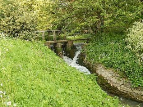
Eventually, you cross over the shallow hills to re-enter Painswick a little further south, before crossing over and in to the next village.
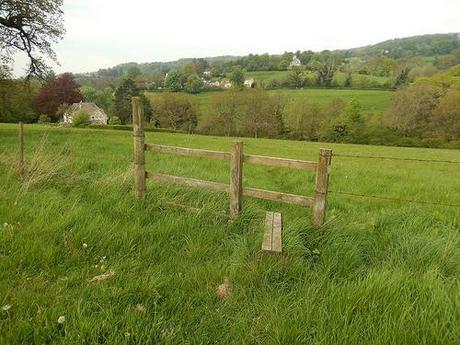
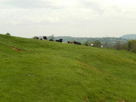
Note the spire of Painswick’s church in the distance.
Pitchcombe is the next village on this minor tour of the Cotswolds.
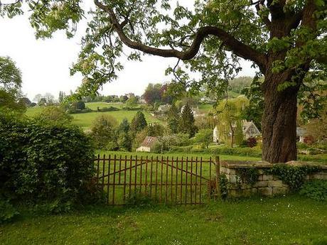
It was mostly an uphill climb along a weight-restricted road. But I do remember being able to peer over a low wall and in to the a rather exquisite private garden. Such is life up in the Cotswolds…
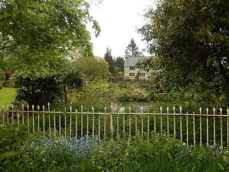
The hill below was one of the toughest climbs of the day:
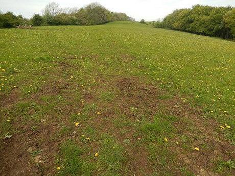
After an initial ascent at a steeper gradient, it just kept running on ahead with no signs of respite. I paused to turn around and take some photos, before another rambler heading on an easy descent down the hill commented on how he was relieved to see that I wasn’t lost after all…
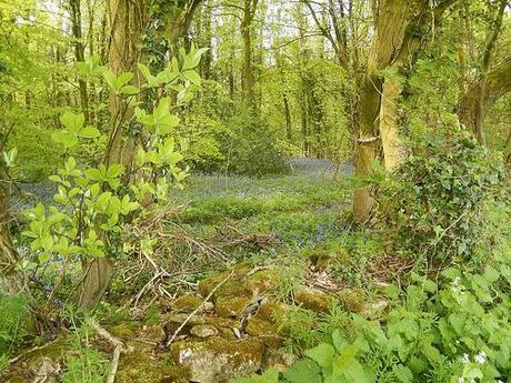
Moving on and I was soon skirting the edge of a woodlands patch, illuminated inside by the glow of spring-time bluebells.
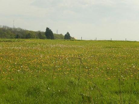
Spot the alpaca.
As this path met with a tall stone wall, I took a step left and continued on my way through the woodland, which was clearly a popular place for families to visit.
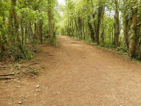
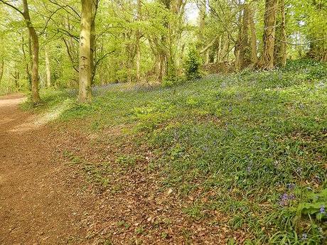
It wasn’t until I looked back that I realised I had just grazed through Standish Wood; a name familiar from my many hours spent trawling the National Trust’s site for adventurous ideas.
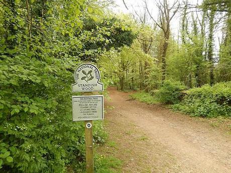
“Your are now leaving Standish Wood…”
Just around the corner from here was an appealing hill…
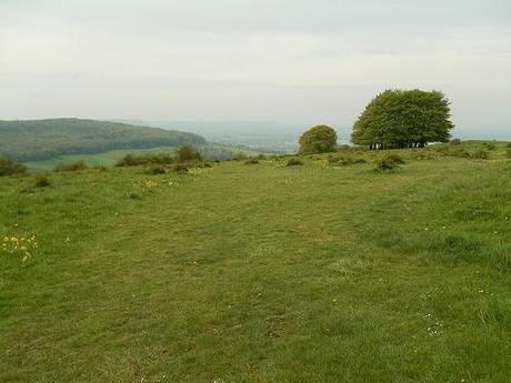
At the top was said to be an item known as a topograph…
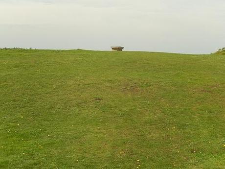
I found myself in one of those moments where I wanted to whip my phone out (with hope of achieving a reasonable 3G signal) in order to identify the definition behind such a word…
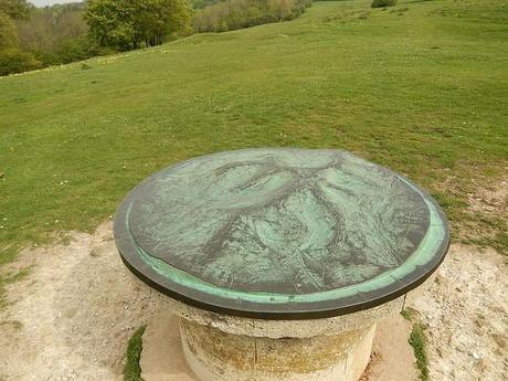
I thought I had a better photo of this but I learned that it’s a 3D ‘map’ (complete with scaled-down contours) of the surrounding hills. I was impressed! I’d like to see more of these dotted around our countryside.
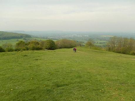
Further beyond and to the west, my eyes began to open out and across the vale of Gloucestershire.
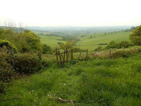
But I was yet to have reached Harsefield Beacon; for that was still a few minutes up ahead and beyond the Standish Wood car park.
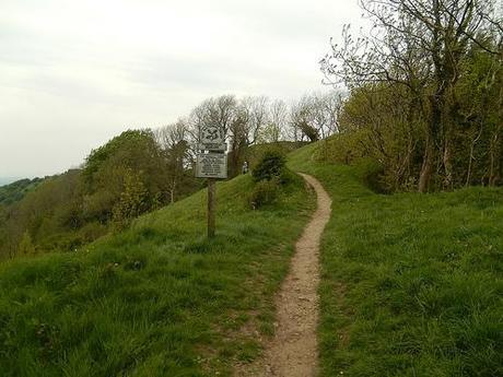
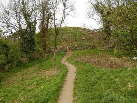
My gaze became fixated on a significantly large hill hidden somewhere beneath the haze:
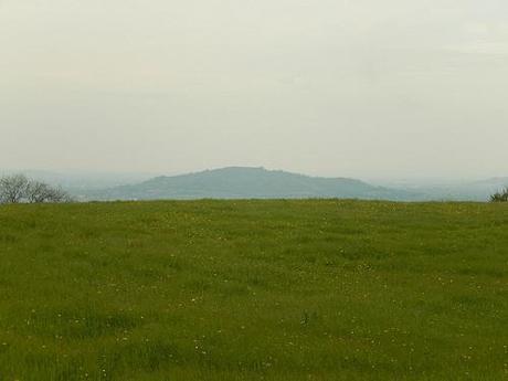
Was it Cleeve Hill? That’s another I’m planning to visit within the coming weeks. I’ve left it too late now to be able to remember in which direction I was facing here so, it could easily have been one of the Malverns.
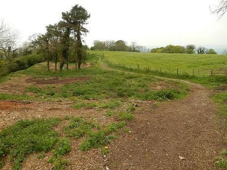
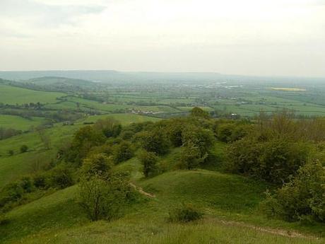
View from Haresfield Beacon.
I remember overhearing a conversation between these two hikers and a pair of women who descended from the trig point just out of shot.
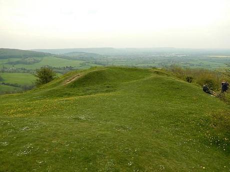
These woman spoke about how much they enjoyed their recent trip to “Ire Land” – I presumed they were from North America (perhaps only British people will get it?!).
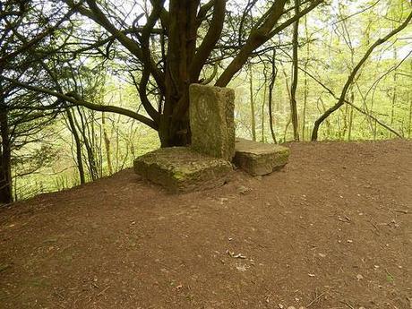
Further along and under the shelter of more trees, there was a monument, which I’ve read was placed in commemoration of the siege of Gloucester back in 1643. But for the trees that have grown ahead within the last 400 years, this site would offer more spectacular views across the county.
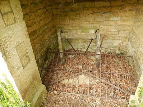
At the end of this track, I encountered a sheltered well that had also been filled with concrete.
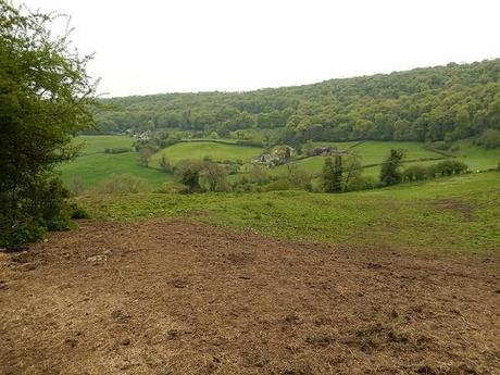
From here, the walk continued in to a more subdued setting.
So far, I’d been able to avoid direct contact with all farm animals. Sheep were always on the other side of a fence and for the one herd with whom we did share eye contact, those cows kept to their side just as I did with mine. Using my zoom lens to snipe across the next field, it looked as though my good fortune was set to continue, with a herd of black cattle safely fenced in.
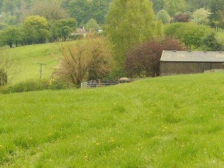
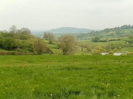
That hill again.
But then I climbed the next stile and, without making a sound, these guys were on to me!
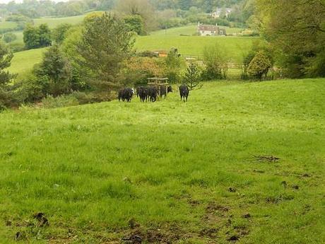
They rushed over. I walked on; standing tall and keeping to the path that following the right-hand boundary. They followed; the tempo of their hoove-steps increasing as I made my way across and through the mud.
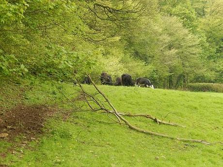
Several times, I had to stop, turn around and to confront them. With both arms raised, I looked each in the eye and told them I had no food to spare. Eventually, they settled on a patch of grass within the tracks I had left behind. Feeling a little less calm than within previous bovine encounters, I crossed another stile, left this field and marched on. I’ve said before that I don’t like cows up in the Cotswolds!
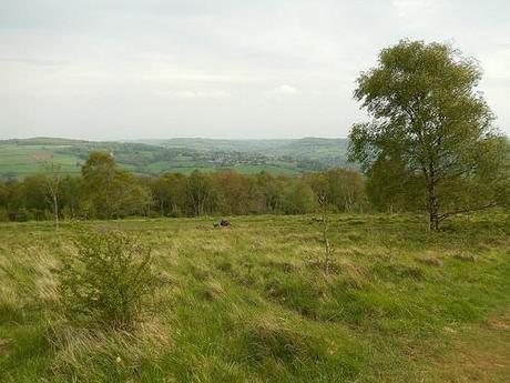
Up through the woods and over a road, I decided it was time to stop for lunch.
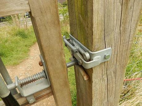
I don’t know whether this is a new and forthcoming trend for the British countryside or, whether this is a feature exclusive to the Cotswold landscape but, from this point on, almost every gate had these slightly complicated latches where you’re required to do the opposite of what looks right in order to open them…
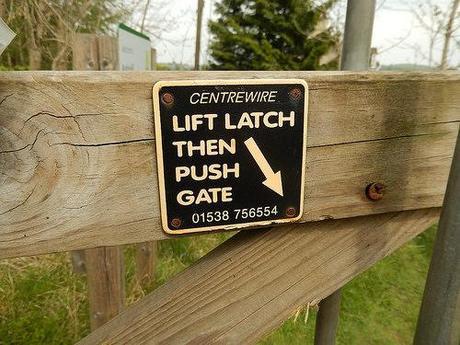
For instance, push when it looks like you should pull!
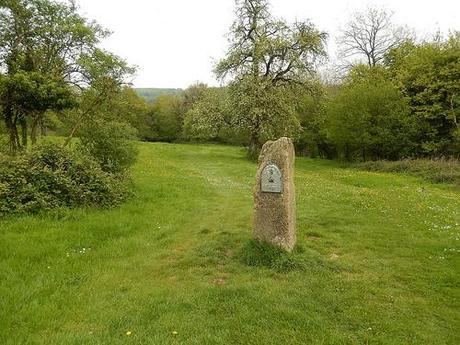
Leaving Rudge Park and continuing to follow the Cotswold Way down a tarmac road, I passed this marker stone, not long before re-entering Painswick. Apparently, 47 miles south of Chipping Camden and 55 miles north of Bath… You might call that halfway.
I may well find out for myself next year, as I hold another charity challenge in mind! ;-)
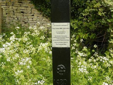
This is where I broke away from the original route within the walking guide, which was destined to return to the car park within moments. I decided to venture on and further north in search of Painswick Beacon.
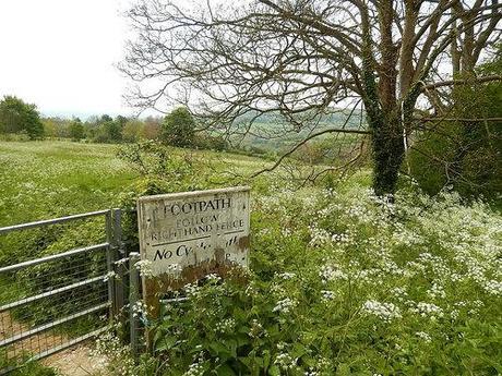
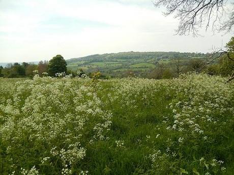
Painswick Beacon is situated to the north of the local golf course. Unlike some of which I’ve frequented on previous walks, this space is regarded as open common land, meaning you don’t have to stick to rigid footpaths, as long as you can appreciate the golfers and other walkers.
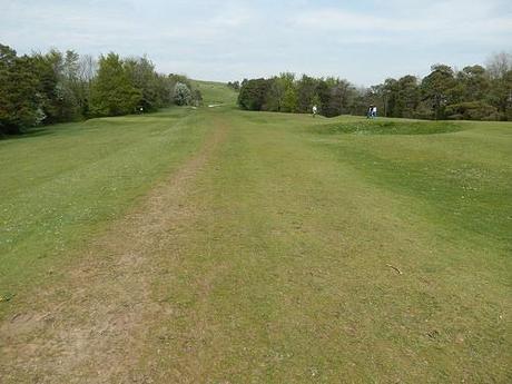
I was surprised to find the knoll encased in a network of electric fencing.
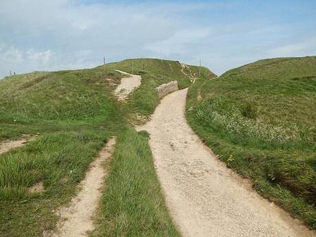
At first glance, I wasn’t sure whether public access would be permitted.
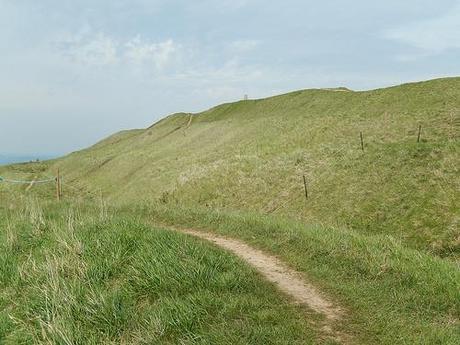
It wasn’t until I found a sheet of paper swinging from one of the wires that I realised I could climb up to the trig point after all and that I could walk back along the ridge line. Of course, I took the easy route up…
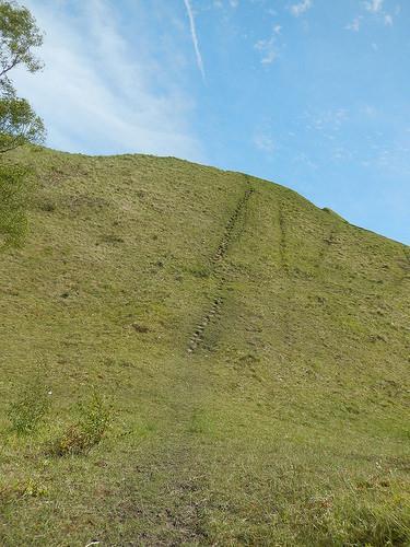
For the few extra miles and the views ahead, the trek was definitely worth it.
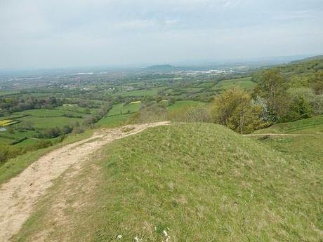
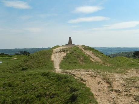
Heading back down the hill, I received a sharp buzz from the electric fence, even though I was holding the plastic handle that allows you to safely open and re-tension a route along the footpath.
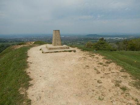
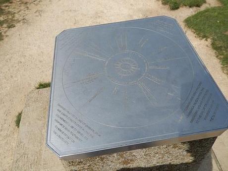
I apologize that this photo isn’t any clearer.
I’d walked far enough by now and wanted to return to the village. Reading my OS map, I’d intended to follow a path down the opposite side of the golf course but I took one turn too early and ended up walking alongside a busy road for a little while.
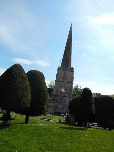
Finding my way through the maze of streets was a bit of a puzzle but the sight of the church spire helped to guide me in the right direction.
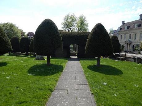
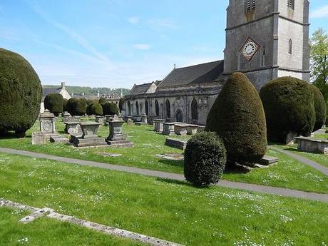
My final steps took me through the church yard and, out the other side, a path connects you with the corner of the pay-and-display car park.
Thank you for reading through my experience of this walk. I felt this was going to be a brief one, earlier on but if you’d like to see my complete photo album from this day then please, click here.
