Wednesday 28th December 2016
Last night, I sat down at my computer to begin writing this walk. While in the process of editing and re-arranging my selection of photos, I managed to somehow ‘lose’ said photos (possibly with a keyboard shortcut). They weren’t anywhere to be found; not even in the Recycle Bin.
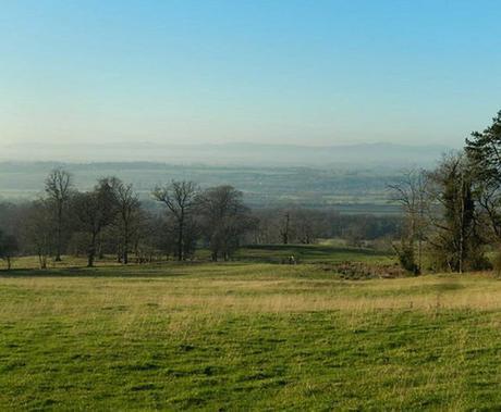
I hadn’t already uploaded them to Facebook either. My one saving grace was that they were on Instagram – it took about half an hour taking many screenshots, cropping each image and then uploading them from my phone but, I now feel confident in being able to begin writing and I hope the effort is appreciated.
For the route I’m following, it’s basically an extended version of this 7.5 mile AA walk. Total length was around 11 miles and I began at Elmley Castle. It was a route I discovered using Ordnance Survey’s OS Maps website (sadly, I cannot share link to this route because the author hasn’t ticked the ‘public’ box).
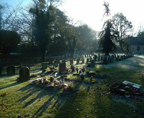
In spite of the ninety-minute drive from home, this was one of those journeys where I felt confident enough to leave the SatNav behind. I didn’t spot the picnic site car park straight away but I could almost be forgiven that it barely allows for half-a-dozen cars – and that’s only when all drivers park considerately… In short; it may be more convenient to park on a residential road (and find yourself a hundred yards closer to the pub).
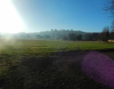
Passing the local church, I followed the road north-westward towards a sharp left bend on to Hill Lane.
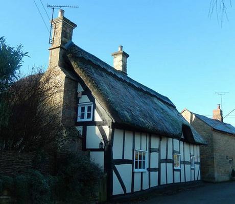
Ahead of me was a young family, who’d parked alongside the aforementioned road. They left the road for a left turn through a kissing gate, as I continued on towards Manor Farm at the top.
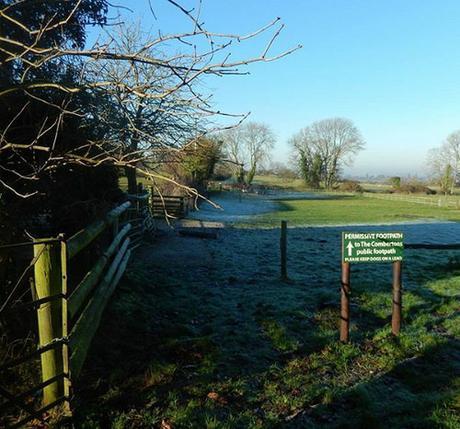
Here, I found an infrequent situation where the path on the ground does not strictly follow the guidelines as set out on the map. I was directed right and then along the northern face of buildings, following perhaps the clearest footpaths signs (a permissive path, as well) I have yet encountered on my many walks.
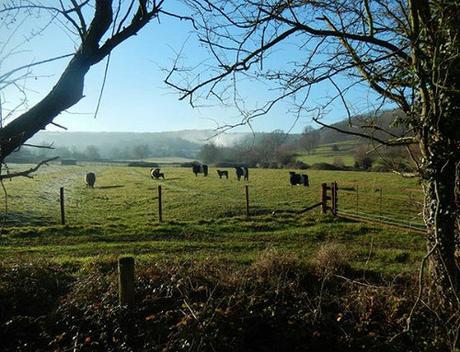
But for the hard frost beneath my feet, these successive fields were free of livestock. Easy walking on a bright but chilly day.
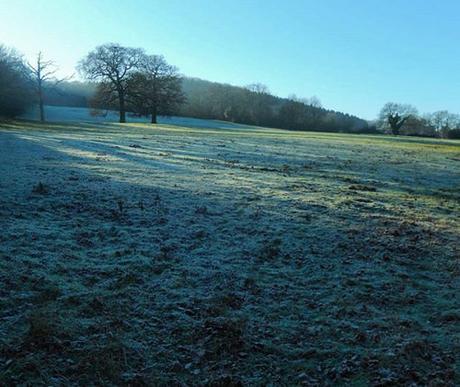
My destination was the village of Great Comberton and, as I followed the route along the northern contours of the hillside, I found my immediate surrounding eclipsed from the sun.
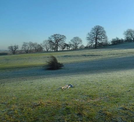
A time to pause and admire this wintry spectacle, without standing still for too long.
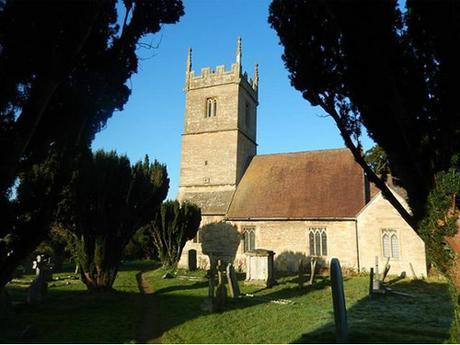
Arriving in the village, I headed straight for the church, where I found find an inevitable bench. About an hour in to the walk; this timing was good.
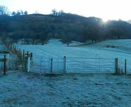
Forgetting that there was a war memorial a few hundred yards north up the road, I proceeded to join the Wychavon Way on my return to the winter landscape. This is a long-distance path of only forty-miles that takes you from the heart of Worcestershire down in to the northern Cotswolds.
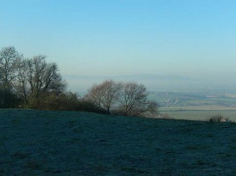
I overcame a steep climb to obtain this distant view of the Malvern Hills’ ridge line. While this walk is set very much within the county of Worcestershire, it’s worth noting that Bredon Hill itself is part of the Cotswold Hills. I read somewhere that years of erosion have ‘separated’ it from the likes of Cleeve Hill further south. It’s also rather sadly (but understandably) neglected by the Cotswold Way.
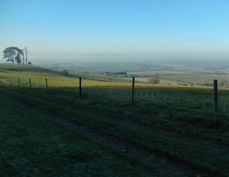
There was a bench somewhere along here, near Battens Wood, with a stone marker beside it, with an empty bottle of wine resting behind! I’ve sadly lost these photos but a lone radio telescope could be seen clearly to the west and ahead of the Malvern Hills. I can only presume it’s the one in Defford. I do find these things interesting – as you may recall, from last summer’s visit to Goonhilly Down in Cornwall.
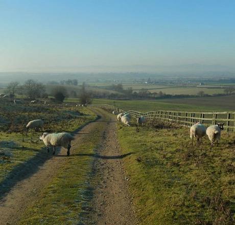
From here, the walk begins to descend briefly – past Woollas Hall, and then along the dry and almost-neverending bridleway of St. Catherine’s Farm.
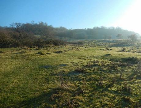
I left the Wychavon Way at Woollas Hall to continue along the intended route. A more immediate ascent to the summit of Bredon Hill is available from here, while I still had a good couple of miles before my next climb.
