Sunday 1st November 2015
On Sunday, I did something I’d not done for almost three months – since my last non-charity-related expedition to the Cotswolds – and took myself on a walk. No companion, no walking group; just myself and whatever the East Mendips were going to lay down for me on this occasion.
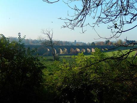
This walk, the East Somerset Railway, can be found in Walk West (a free download available from this blog) and it’s walk No.19.
It was also the first time I’d tackled a walk from Geoff Mullett’s Walk West series since, well, the spring maybe? Discounting a couple I did over the summer which I already knew very well.
This walk began in Shepton Mallet; a town I have frequently driven through or past over the years, in order to get to another destination entirely.
With the sheets already printed out from months ago (I had clearly intended to do this one much earlier in the year), not only was the decision of ‘Which walk?‘ already made for me but I was able to plot the route on to my OS map for added peace of mind. With part of the preparation done, all I had to do was research on car park and, as fortune would have it, the pay and display bays in the town center are free to use on a Sunday.
Of course though, once I’d arrived and parked up, I had to read the sign very carefully and slowly to make sure and then inspect the ticket-less windows several other cars nearby before I was satisfied that I would not have to scrabble for change that did not exist inside my dusty wallet.
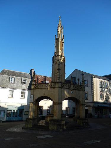
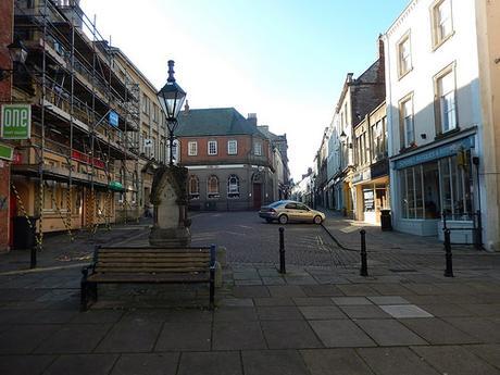
At the heart of Shepton Mallet’s high street lies the Market Cross landmark. For where these walk begins in a rather urban setting, it soon departs out in to the fields of the East Mendips.
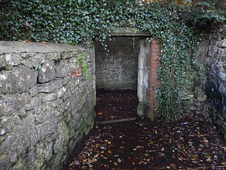
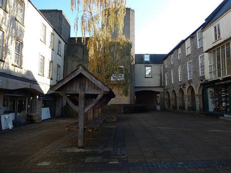
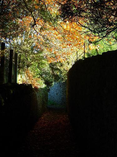
Passing the church with its uneven cobbled paths, I found myself walking along a corridor or high stone walls, with a very medieval feel, reminding of parts of Axbridge (another Somerset town, next door to Cheddar). At the end of one passage was the unsealed doorway you see above.
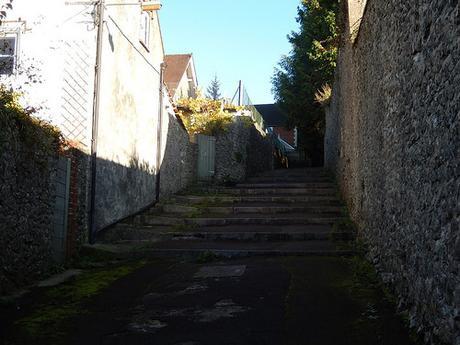
Then, I found myself climbing an expansive set of wide concrete steps. As I neared the top of this hill, I would huff and puff my way past the only other soul I would interact with on this 8.5 mile walk (and at least, he did say hello).
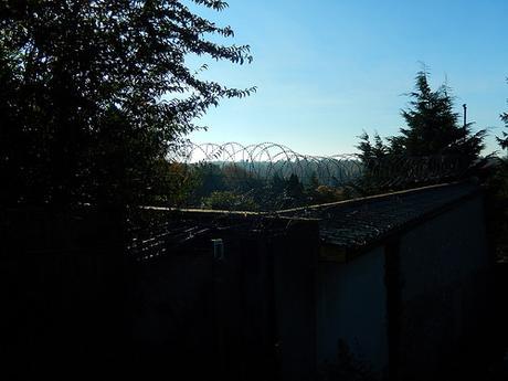
As I reached the top, I could turn back over my right shoulder to the barbed wire that prevents illegal access to (and from) the town’s prison – I can’t think of another walk where I’ve passed quite such an unnerving site.
Longing for mad cows or a bag of dog poo, carelessly suspended from the branch of a tree; I marched on without turning back.

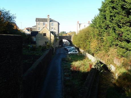
I next came to a cross-paths where I could step on to the former line of the East Somerset Railway.
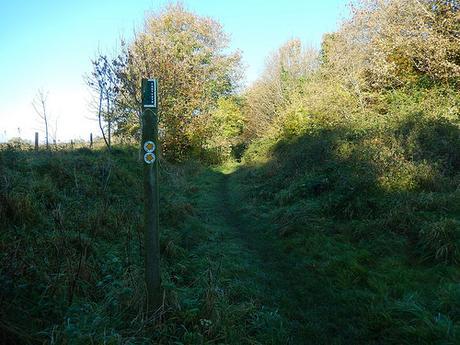
I began following the route in an easterly direction, with stings and scratches beneath my knees as I soldiered on between the overgrowth…
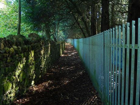
A little further on, I noticed the actual footpath runs along the back, beside a fence, beneath trees and along a far less obstructed pathway.
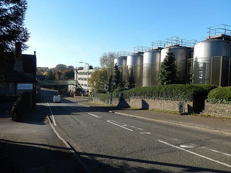
I soon found myself returning to the A37 that I had driven along to get here, with a huge factory across to my right.
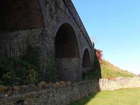
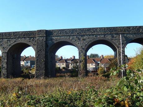
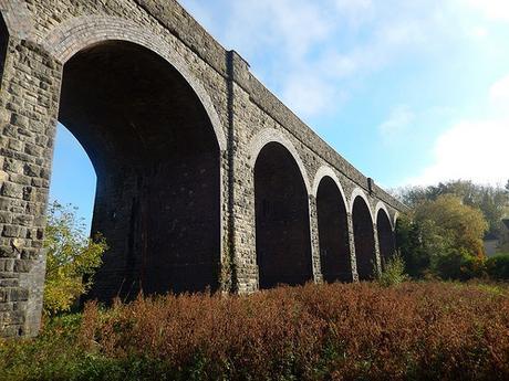
I like a good viaduct and, leaving the main road behind, I was soon passing beneath the same line of brickwork arches that I’ve previously met a few miles further north up in Pensford.
Then, I was painfully reminded that I was walking on the wrong side of the Mendip Hills:
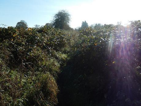
But this stretch of overgrowth was just about manageable and was not at all comparable to the rhyne-side obstruction a friend and I met with in Brean, a couple of months ago.
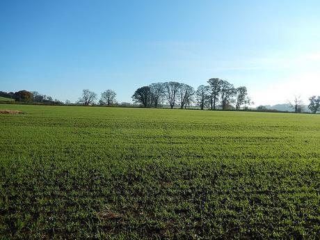
Continuing my journey towards the village of Doulting (I name I was unaware of before starting this walk), I was out and in to the open fields, feeling free. I felt a little bit guilt, treading over tiny crops in the field above but, I was following the exact right of way. To walk around the field’s edge would’ve been trespassing (not to mention very time-consuming). It is up to the landowner to ensure all public footpaths remain clear and accessible.
As I came to the first in a succession of fields containing crops (wheat or corn), I had my fears that I was about to endure a fight to follow the path…
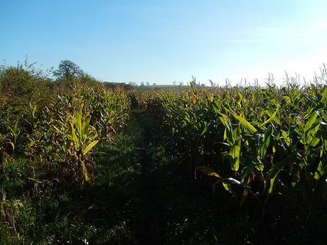
Landowners, please take note!
Much to my surprise though, someone had already laid the footprints down for me. Each well worn path was a little slippery after recent rainfall but I was most relieved to be able to clearly see where I was going.
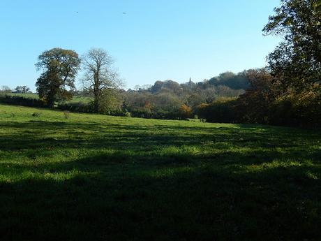
But the muddiest bits of this walk were far from behind me, as the spire of Doulting church came in to view…
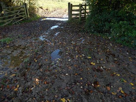
It looked as though a herd of cows had recently ravaged the ground here (perhaps being put away for the winter).
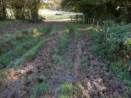
It took more than a few moments for me to decide upon the most practical route but I’m pleased to say that I survived both adventures without filling my boots with mud.
I especially packed my gaiters in to my car before setting off that morning. Yet, as I parked up in the town, I decided not to strap them on, for fear of what people passing by might think, as I strode (noisily) along the high street…
Lesson learned. It is autumn. I don’t need another trail of mud up to the back of my knees.
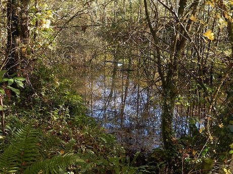
It’s a common consequence of walking close to walking courses, particularly at this time of year.
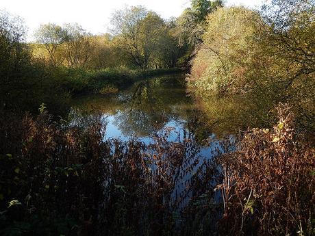
I then arrived at the historic site of St. Aldhelm’s Well. Ordnance Survey even highlight it for you on their maps.
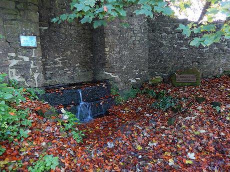
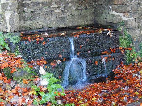
Water, here, is not fit for drinking, as the sign forewarns. It was otherwise inviting and I would’ve stayed, if only someone had left a bench.
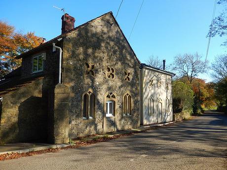
Walking through Doulting, I could admire the historic architecture of some houses, where former doorways and unique patterned stonework were on display.
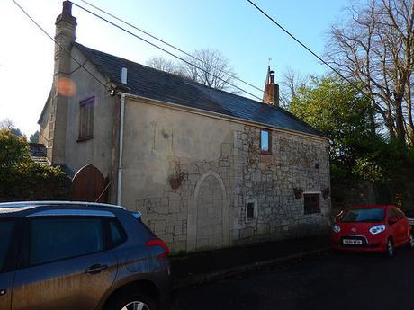
To think, how many people today would prefer to cover up, hide and disguise such features.
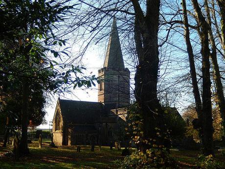
I then passed through the gate’s of Doulting’s church, before reaching another busy road.
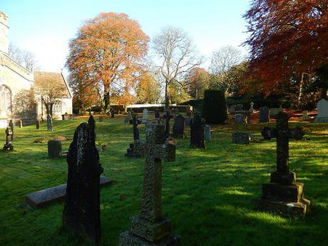
There’s an interesting sign on the main door, here; encouraging you to enter the church in the event of wet weather, crossing the room to another door leading to the rest of the churchyard, along a significantly drier path…
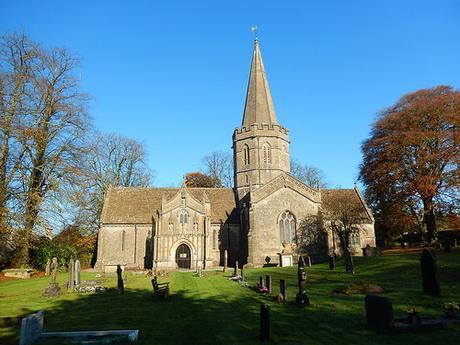
However, as it was about 11am on a Sunday and I had mud all up my ankles, I decided to walk around the perimeter of the building, just to be on the safe and respectful side.
Now beginning to shy away from the village and in the direction of a quarry, I found myself face to face with a towering fields of crops that was going to present to me a serious problem.
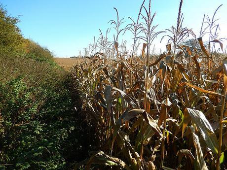
There was no apparent right of way and I endured a fight through the dry and dying crops before my salvation upon reaching a break in the fields. This struggle probably lasted no more than five-minutes and yet, it felt like I’d been walking for twenty.
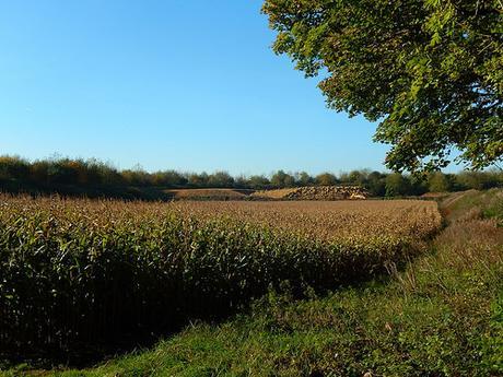
Embarking on my escape, I crossed a series of clear fields that would probably have been inhabited with livestock, even a month ago.
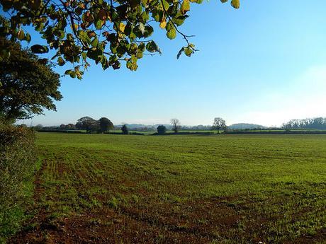
This was when I got my first view of Cranmore Tower:
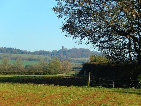
Walking through Cranmore, I again noticed examples of ‘different’ architecture, deep in the eastern half of Somerset.
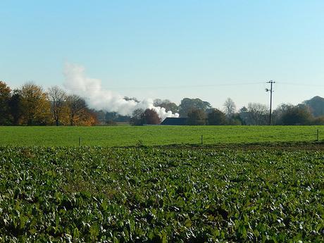
Crossing the penultimate field ahead of reaching the train station, my boots got considerably soaked but I was at the same time, somewhat excited by the sight of steam (vapour) billowing up from behind the distant trees:
This was when I arrived at Cranmore Station:
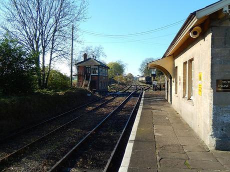
That train had already departed by the time I reached the platform.
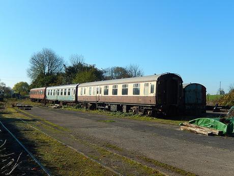
I didn’t hang around for too long but I did notice a small museum on site
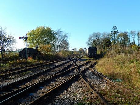
At the other end and, towards the spacious car park, were signs for a café.
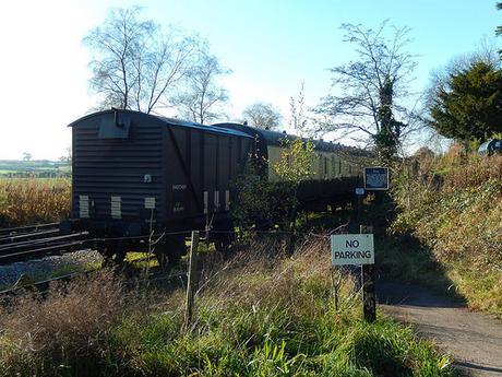
Leaving the trains behind, my walk continued through the center of the village.
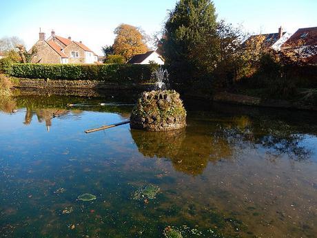
An extremely large and pleasant pond sits across the road from the local pub.
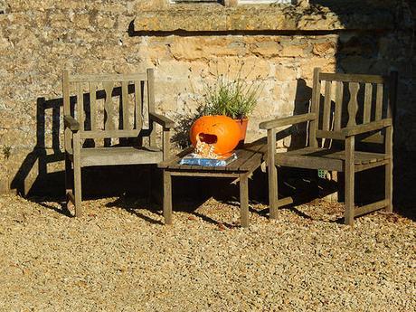
Outside of one house on the way up a steep road, I noticed the following addition to the front of someone’s house, on the morning after the eve of Halloween:
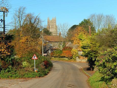
I also walked past my third church of the day:
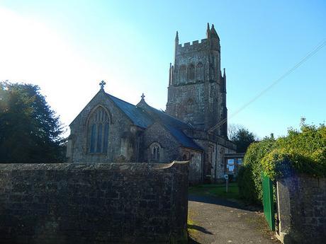
That’s one church for every less-than-three-miles… A personal record, perhaps?
In the text, Geoff instructs you to turn right in to Jill’s Lane, which is directly opposite the church… On the given map though, the turning you desire (Crane Cottages) is clearly a little further up from the church. Jill’s Close is a children’s playground, covered in grass.
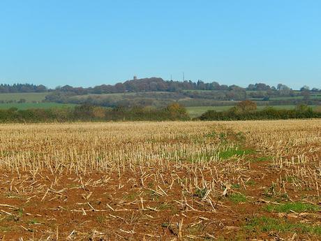
At the end of Crane Cottages, you join a footpath leading straight across the field, with Cranmore Tower again visible at the top of the distant hill. This walk doesn’t go as far as the tower but I hope to be able to visit it another day.
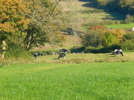
Soon after that and, crossing another road, I was on the climb, continuing my return journey. This was when I spotted the only herd of cows I saw all day, in a field beyond the grasp of a public right of way.
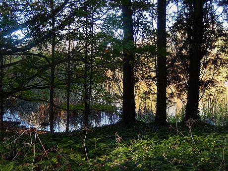
Climbing up, without any form of waymarking of guidance on the ground, I lost some time to hesitation, a little back-tracking and re-reading of the map. But I reached my desired destination in the end.
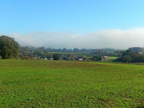
As I joined the East Mendip Way [a route I said I was going to walk in 2015….], I could look down from the hilltops to the valleys either side of me; engulfed beneath and thickening cloud of mist in an eerie almost sci-fi fashion.
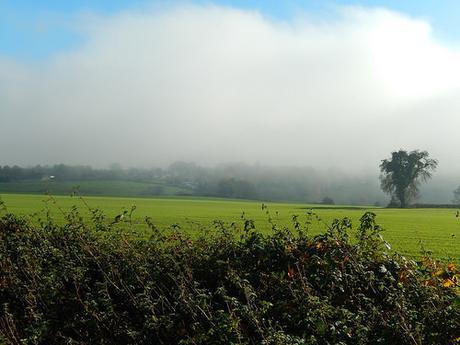
This mist covered large parts of the UK over the weekend and was apparently making big headlines in the news. It didn’t hamper my drive home at all. From up here, I felt it closing in around me but it never did come to consume my space.
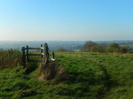
It wasn’t long before I crossed the border in to Shepton Mallet.
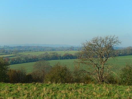
To the west, I could just make out the mast on top of Penn Hill in Wells.
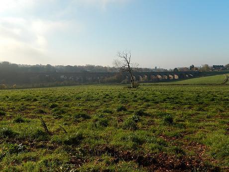
Down ahead of me, I could see the familiar viaduct, concealing the reassurance of an ending to this walk.
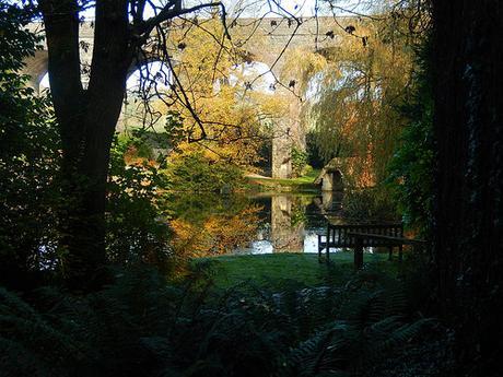
Returning in the direction of the A37, I spied this private paradise beyond the locked iron gates:
I made the mistake of walking up the main road for a few hundred yards when I should’ve simply crossed over it. I felt a bit foolish but soon corrected myself.
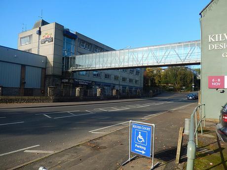
Closing in on the car park, in end as distinctly ‘urban’ to this walk as its beginning; I passed the backside of the ever-intimidating prison:
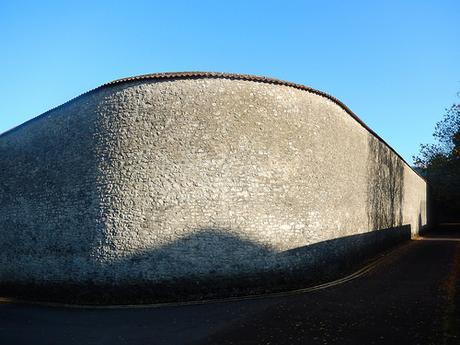
What must it be like for people and families living so close? Some homes are directly facing it, separated only by the width of a narrow road.
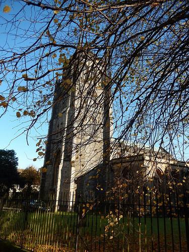
Retracing my steps from the churchyard, I was soon back at the car and ready to replace my dampened socks while carefully rolling my trousers up to the knee, in order to keep my car seat clean!
It was great to get out, to do something for myself and even by myself, as much as I was missing familiar company. I have an aim in mind to try and tackle a few more of these shorter walks over the winter and perhaps even ‘complete’ the first Walk West title… At least, ignoring the majority of walks that involve crossing the Severn Bridge.
