This morning, as I begin to write this, the sun is trying to break through the glut of persistent rain. This ongoing downpour of torrent has caused disaster for many home-owners further south and for the average walker, well, I’m presuming that the enthusiasm to get out and to enjoy nature is lost in some small way. I know I haven’t been out for almost two-weeks now and this walk I’m about to share is indeed my most recent.
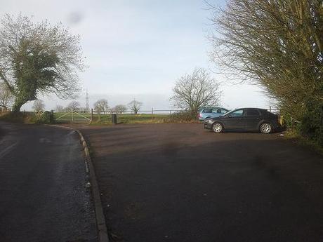
Dundry Down car park, at the start of the walk.
Roll on summer!!
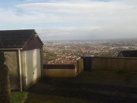
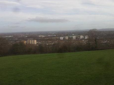
This walk begins in the village of Dundry, just south of Bristol and you don’t have to walk far (again, following another guide from Walk West 3) before you’re greeted with skyline views over the city.
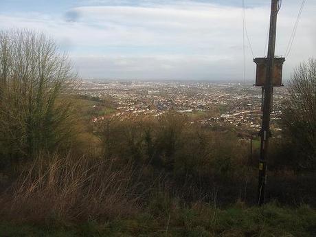
Overlooking Bristol, to the north.
These views continue for some distance as you follow the route to the east but I wasn’t able to capture the cityscape in as much detail as I would’ve liked – I was using my smart phone because my camera’s still ‘awaiting repair’. My spare part should’ve arrived by now so, if I do end up walking tomorrow, I’ll be snapping with the phone again; praying for as much sunlight as possible. But with some light refinement afterwards, these shots haven’t turned out too badly.
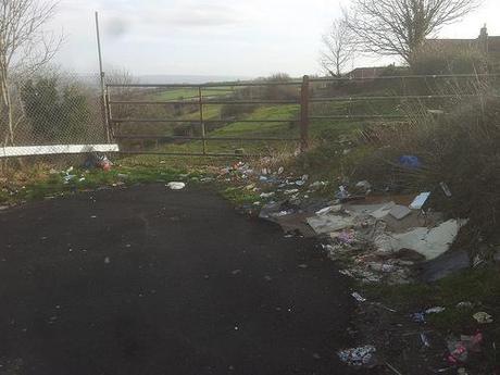
Litter here…
But while the views were nice and I was able to spot landmarks including the Ashton Court mansion, the Clifton Suspension Bridge and the Second Severn Crossing beyond; what hit me hard and fast was the apparent plague of litter that adorns every dead-end or bend in the road, as you continue towards the rise of the sun.
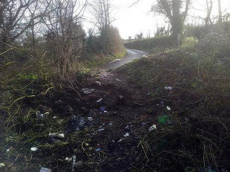
Litter there.
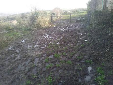
But in returning to the fields, you’re only left with the challenge of mud to contend with (at this time of year, anyway). This is another one of those walks has forced me to contemplate buying a decent pair of wellies… But I keep telling myself that we’ll be beyond the worst of it and that summer is less than three-months away…
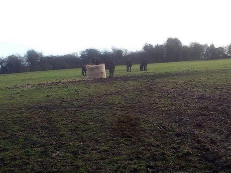
Below, I don’t know whether this was one landowner’s attempt to signify a closure to the footpath or if it was merely to deter the horses from leaping over. A red triangle, to me, indicates a Permissive Path (whose right to public access can be withdrawn) but if I had taken a closer photo, I could’ve shown you that it actually reads as the route for ‘Bristol Ramblers South‘, or something very similar.
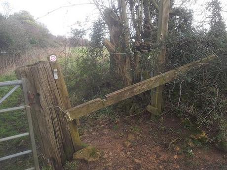
Fortunately, after scraping underneath (I should’ve climbed the gate), no-one came chasing after me with a lash of rope swinging above their head!
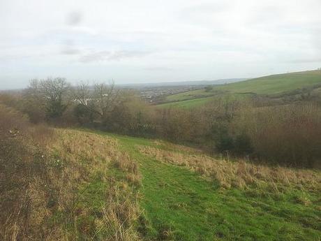
This was the path that leads down to the Malago Spring. In my eyes, it didn’t quite marry up with the words I was reading in Geoff’s text and I consequently found myself almost wading my way through a heavily waterlogged section further down the hill. Not recommended, as I also slipped on to my backside! All of which could’ve been avoided, had I decided to check out the right-hand path a little further up the hill, first!
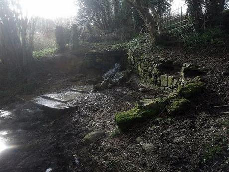
The Malago Spring
Because that’s the one that leads you to the spring and all its glory. Water bursting from the hillside; it’s the kind of sight I’d expect to find further north on the Mendip Hills; not here. If you’re familiar with Bristol then you’ll probably recognize the name ‘Malago’ from a run that runs through Bedminster and perhaps other places as well. If I remember what I read correctly then this stream does indeed flow underneath the city.
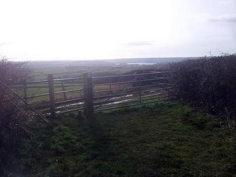
After crossing the stream and climbing a hill, my feet found their way on to tarmac for the second time, with a view of Chew Valley Lake emerging to the south.
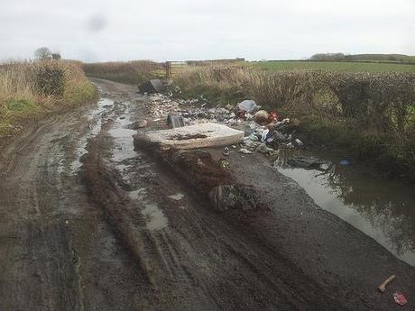
This part of the walk is a little arduous. You’re still heading east but you’re faced with an entire mile of road-walking; that’s fifteen-minute to the average person. What didn’t help though, was the regular sighting of waste at almost every road-bend and field entrance.
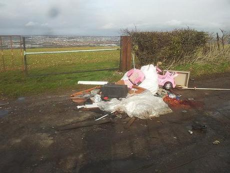
These are only two photos from which I could’ve taken many more… It’s disgusting, in a word. Someone on Instagram recently informed me that it is the act of companies within Bristol who, I presume, are charging their customer(s) a fee for the collection and “appropriate disposal” of their rubbish.
On the other hand, these ‘traders‘ might argue that they’re vehicles are no longer permitted to use recycling centres and civic amenity sites, at least not without paying a fee each time or applying for a restricted permit of 12 visits a year… But does that justify these actions, which are going to cost the council more money to clear? My local council claim to be saving a fortune on waste disposal, as they’re witnessing a vast reduction in waste being dumped, after implementing this scheme.
Once again and, this is the one thing we can be certain of; money lies at the root of it all!
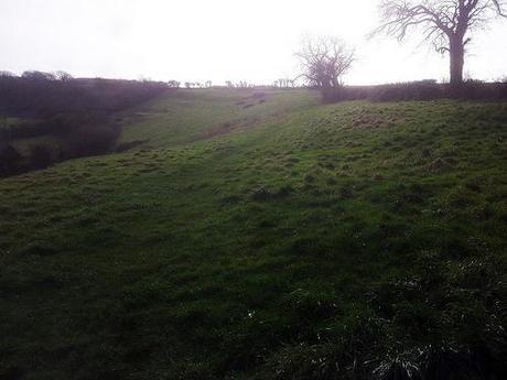
Back to the walk… As the road begins to descend, you’re looking to your right for a southward path that leads you along the ridge of one hill and on to Maes Knoll hill fort.
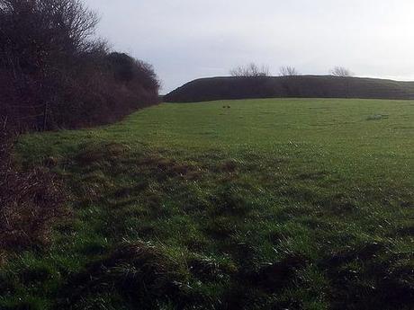
Approaching Maes Knoll with rabbits frolicking ahead of me!
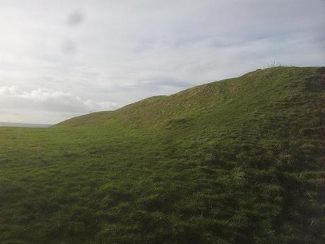
Climb to the highest point on the ridge on your presented with commanding views south over Chew Valley Lake, with the Mendip Hills on the horizon. It’s also incredibly windy up there!
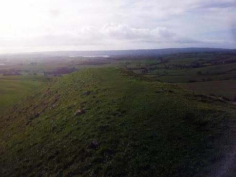
As hill forts go, this one is reminiscent of Cadbury Camp in Tickenham, which I visited the other side of Christmas. It’s not jump the high rise but a large expanse of open land with trench around its perimeter (a great place to pee discretely, when you really need to go…).
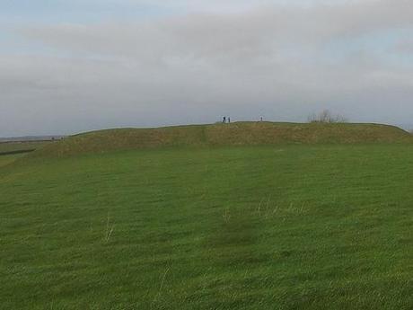
I wasn’t expecting to see many others on this walk (some people regard Dundry as being conjoined with Hartcliffe) but I did capture [photographically] one family on a Sunday stroll of their own.
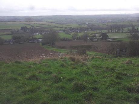
From here, where I stopped for lunch; the path continues south, down and in to the village of Norton Malreward. If you look carefully to the right, you can see evidence of flooding on this part of North Somerset.
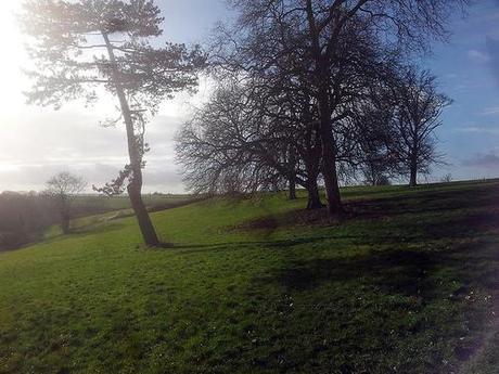
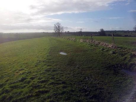
You don’t have to walk too far through the village before escaping via a footpath on your right, which I think was signposted by the Forest of Avon. It was quite muddy again in the beginning but soon smoothed itself out.
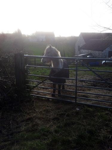
I remember crossing one farmyard (one of my anxious hates when walking alone) where I was greeted by the resident dog. Then, further up the road, I met another canine, soon after the bashful horse you can just make out above.
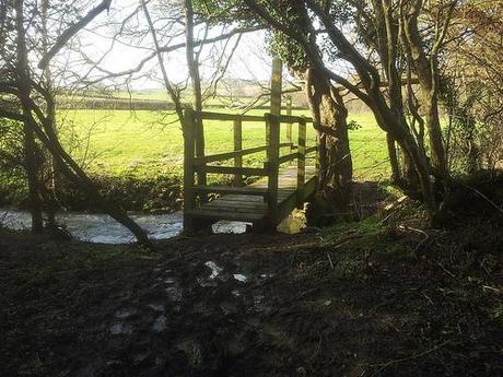
You’re heading west by now because, well, you have to return to Dundry at some point! But for where the landscape views and the hilltop climbs has dissipated, you’re roaming through quaint countryside; crossing rivers and all.
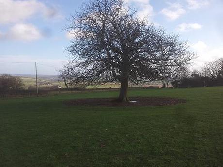
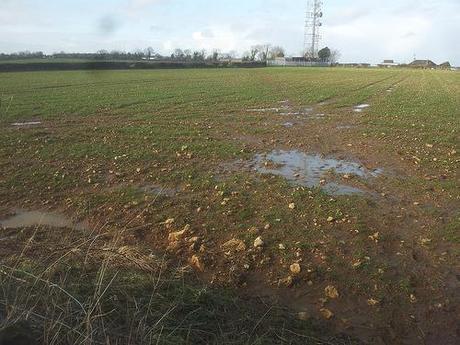
Nearing the top of the hill, you’re returning to Dundry and, it was in this very field above, where I dropped and scratched my camera lens on an evening walk last summer!! Back then, it was meadow-like and yellow; glistening under light from the setting sun.
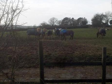
With the church tower in sight, I was heading home to the car park and adding water to my socks with almost every step in some places. Just before reaching my car on this cow-free experience; I came across perhaps the most frightening sight I’ve yet to witness on a walk…
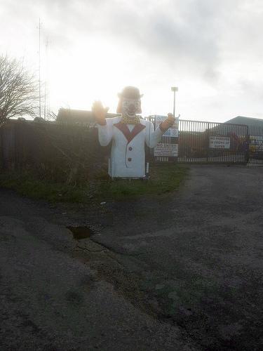
I don’t mind clowns. I mean, I don’t like them but they don’t usually scare me… Usually!
Returning to Dundry Down via a road.
On that evening walk last year, I’m sure we returned to this same car park by crossing the down along a footpath just left of my final photo… If I decided to submit this as a group walk, I’ll look to rework that stretch in as a slightly better and divergent ending. But the walk beginning in Dundry impressed me. I wasn’t expecting an awful lot and, of as you can see, it gave a lot more!
To see all of my photos from this walk, please click here.
Thanks for reading and don’t forget your wellies!
