Sunday 24th April 2016
It felt great that we were able to resume our trek along the Somerset Coast Path, only a fortnight after our previous installment and first of 2016.
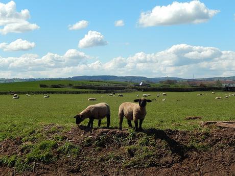
Already dreading the slog south in to Bridgwater, we began this where I previous walk had finished, at the Admiral’s Table in Dunball, right alongside the A38.
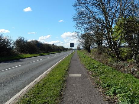
Following the book almost to the letter, we were set to walk alongside the busy A-road for a good mile and a half. It was the most direct route in to Somerset%20Coast%20Path">Somerset%20Coast%20Path">Bridgwater and highly unappealing. On the drive to the start point, I’d noticed fresh wooden signs for the England Coast Path, that appear to following the eastern banks of the River Parrett… Our book was published long before this route was instated and we decided we could always explore the new section at a later date.
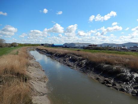
We were keen to get through this town and back in some some semblance of countryside, as efficiently as possible.
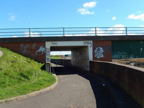
It’s hard to see exactly where the England Coast Path continues through here and the online OS maps don’t appear to have been updated yet. We saw roadside signs, directing us back along the pavement we’d already followed, with contradictory signs indicating a route alongside the river, which implied, to me, that one route would be optional… Perhaps cycle-friendly?
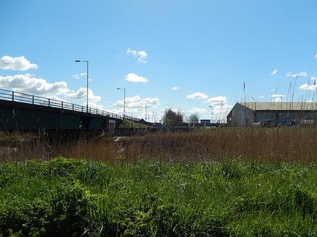
We continued quickly through a housing estate, leaving the A39 for a moment, down beside a convenience store and then, crossing the A39 once more, we were off to the village of Wembdon – a village I have very frequently bypassed with trips to the northern Quantocks.
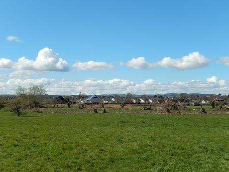
Already, things were looking up. While we remained several miles south of the coast, things began to improve, as we left the noise and pollution behind to witness an expanse of blue sky and green spaces.
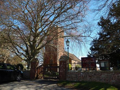
Walking through here is was relatively clean and easy, as we followed roads with the occasional field path, gradually marching north.
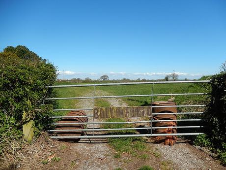
Don’t worry, we didn’t have to enter that field!
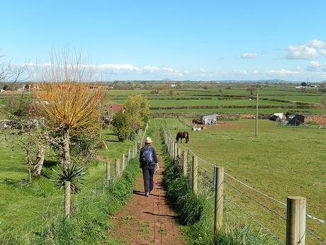
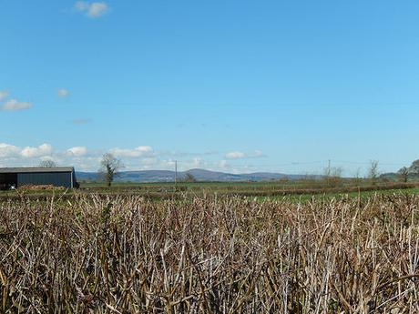
From here, the Quantock Hills would appear to grow, as the familiar Mendips almost sank away in the distance.
We did encounter a succession of ploughed fields, heading west and away from Chilton Trinity:
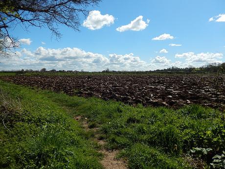
I, for one, was pleased to find a clear, worn path running alongside, having recently reported another incident to Bath and North East Somerset (BANES) Council. We stopped for ten-minutes along here, having survived and escaped the intervention of urbanisation.
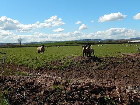
We now found ourselves walking alongside Cannington Brook and continuing north at a steady rate:
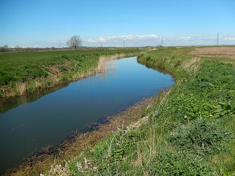
From here, we would only have a small number of miles to walk before joining the River Parrett Trail at Stallington’s Clyce [I still don’t know what a clyce is but, there are several along the trail].
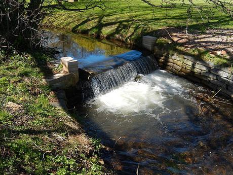
Part-way along, we had to stop due to Anna becoming very unwell. Weighing up our options, we decided it was best to turn back on ourselves and take a diversion to Cannington, where she could be collected.
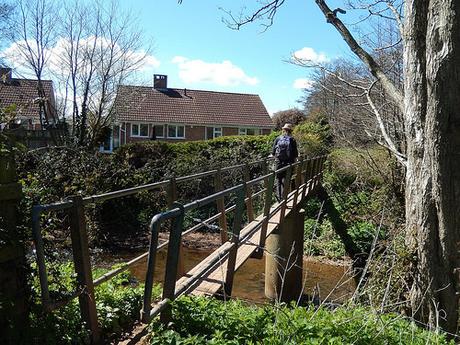
Otherwise, there was still a good couple of hours to walk before we would reach my car in Steart and maybe a good hour until we would be anywhere near to the next village on our route.
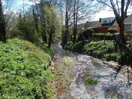
We did what was best for Anna and, while it may sound like a real downturn in events, we both got to appreciate how beautiful Cannington actually is.
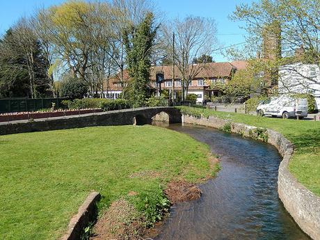
It’s the kind of place where, I felt, I could quite happily live one day, should I decide to venture south from the Mendip Hills and my homeland.
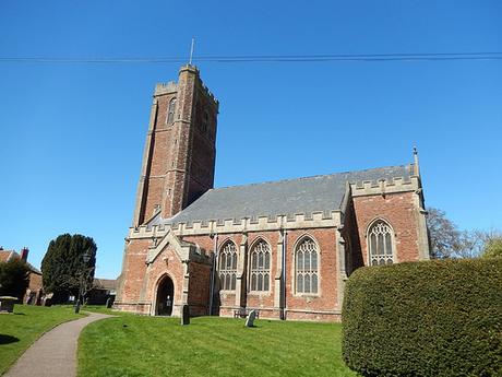
We stopped again at the church, finding a bench in the shade before Anna was collected. For her, sadly, the walking was over for this day. But she would soon be able to rest up in bed and has since made a recovery.
For me though; it was barely lunchtime and I didn’t want my day to end – effectively encouraging the dreaded Monday morning to arrive sooner!
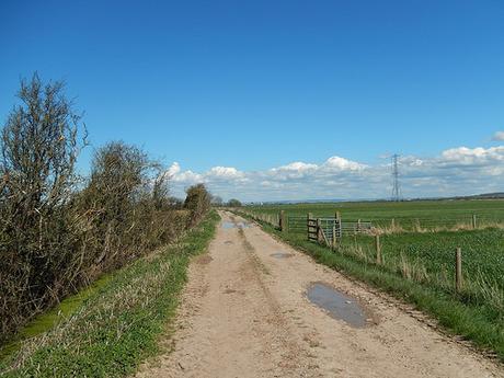
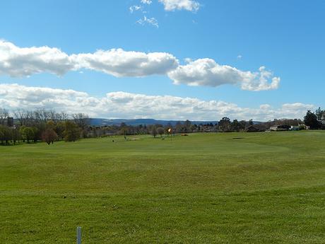
From Cannington, I took a fairly direct route towards the River Parrett. First, crossing the golf course along a public right of way [currently, this is an issue for residents of Portishead] before joining a wide track to lead me as far as the river’s banks.
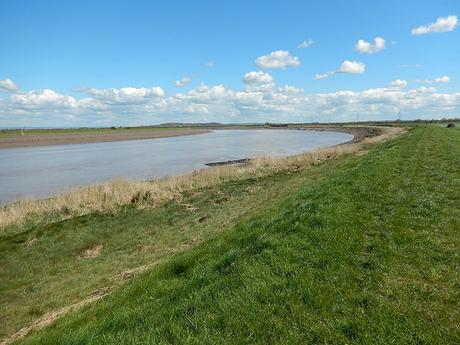
We’ve already agreed that our next walk will begin in Cannington, so that Anna can resume from where she left off. As saddened as I was to suddenly find myself walking alone, I remained grateful that I could ‘investigate’ the way forward from here.
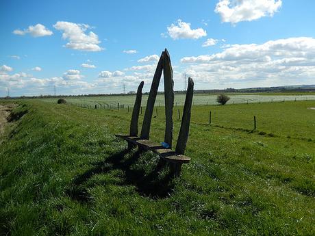
I joined the River Parrett Trail within the hour and perhaps even less than that. A driftwood bench almost marking my arrival, with a surprising absence of signs indicating the new coastal path, or the route I had walked to get here.
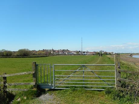
Following the riverbank and cyclists who had been forced to dismount due to the terrain, I could see the village of Combwich up ahead.
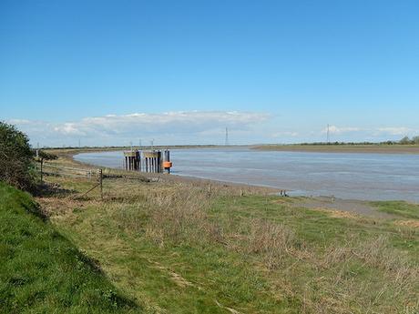
I could see some ‘things’ in the water as I approached the village and, suddenly, I was staring industrialisation in the face.
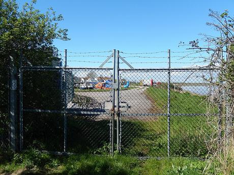
Here, the coast path is forced to turn inland and through the village. Partly because of whatever-they’re-doing-behind-this-fence but also, it looks as though there’s a small river of stream that needs to be crossed.
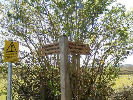
Combwich was reminiscent of Pill in North Somerset, which we passed through at the very beginning of this walk.
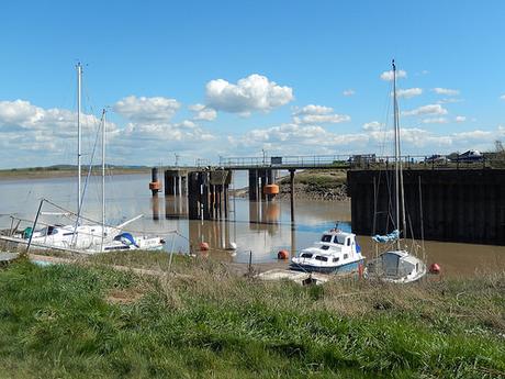
But without the motorway bridge!
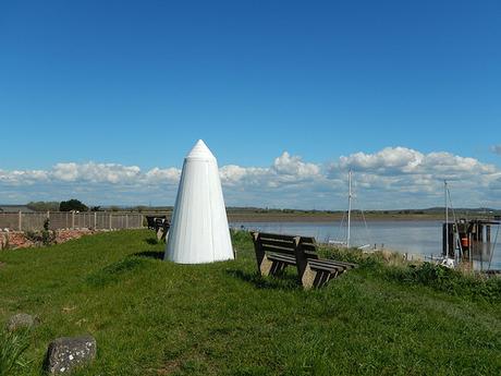
There was this pillar or sculpture in the pub garden but, aside from the “Wet Paint” attached to one side, I’ve no idea what it was or its significance… There were a lot of benches around here, though.
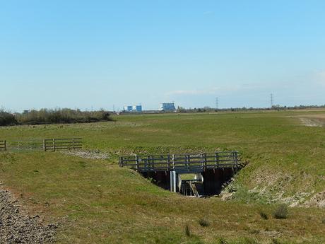
Rejoining the river trail on the southern edge of Steart Marshes, it was impossible not to observe Hinkley Point from the designated viewpoint. This was the first time it had featured on this walk. We’re hoping to walk beyond it, very soon.
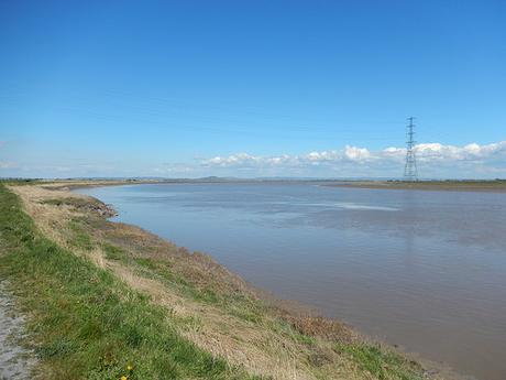
Without the book in hand, I wasn’t entirely sure of the way forward, when the path came to a diversion. So, I continued to follow signs for the England Coast Path.
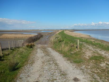
Beyond I kissing gate, I could’ve opted to continue north and towards “the beach”… But it was unclear to see where I could have continued to Steart Point from there. So, I took what appeared to be a more direct route back to the car.
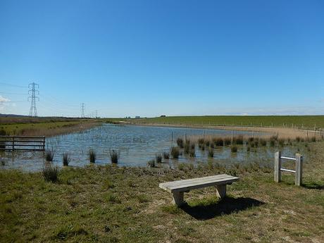
It looks as through the Environment Agency and WWT have been working hard on this area of wetlands lately. Perhaps it’s related to the installation of the new coast path?
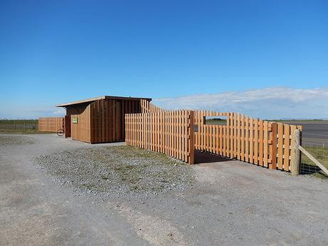
I felt like the area would’ve benefited from a series of maps to view at ground level. My OS map didn’t seem to cover all of the paths available. Most of the tracks here and dry, gravel-lined and cycle-friendly. Above, you can see one of several bird hides.
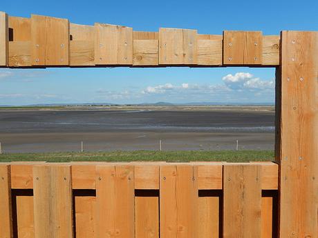
This particular hide was named after the Mendips, for obvious reasons.
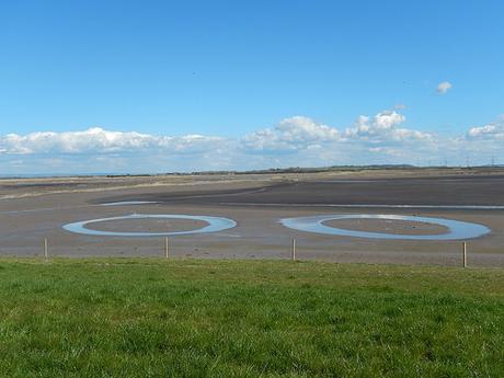
…Where’s Captain Scarlet when you need him?
It was hard going along these dry paths with the sun burning down from overhead. Mainly because of some issues that have developed with my right foot. Do other walkers get foot problems?
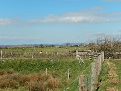
As I approached the car park, I could just make out the two lighthouses of Burnham-on-Sea.
There are now several car parks in this area. All are free to use and there’s no apparent restriction on overnight parked. The one we settled upon ahead of this walk (eastern-most, as indicated on the OS map) was closed, despite signs indicating that it was ‘Open’… We opted for new-looking set of bays right beside the coast path but not indicated on the map. I counted four potential parking locations nearby – all of which were close to full, as I completed my walk at 16.00!
From here, we look forward to passing Hinkley Point. I’m half-expecting we’ll have to take an inland diversion, even if the coast path has been instated to pass along its northern face. I wonder if we’ll get to meet that mysterious man who emerges to meet other coastal walkers and questions our intentions…😉
