Sunday 13th September 2015
It’s already been a fortnight since I left North Somerset for a weekend up in the Peak District. I’m not sure exactly where the time has gone but I’m keen and due to write about the most significant walk from the weekend away.
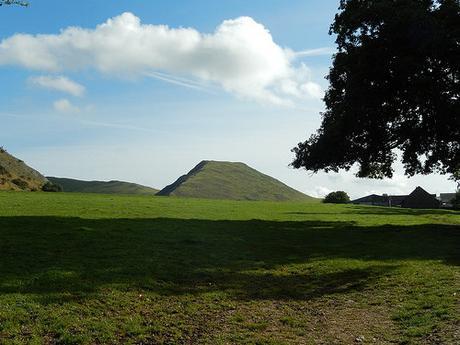
This is a walk that begins in an area known as Dovedale, heads north up towards Wolfscote Hill and then back down through the Dales to finish. If you’re interested in the exact route, please click here.
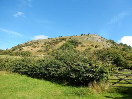
If you’ve opened the link above then you’ll know that it takes you to a website by The Walking Englishman. Owning an OS map for the White Peak area didn’t make it any easier for me to create a route, which so much land to see and explore. So, not wanting to buy any books (which, too often, compile only very short walks), I turned to the internet and stumbled upon his website.
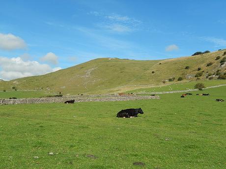
It’s a little tricky to copy the routes down on to an OS map, as I was doing, but once you’ve found the start point (for which, I grid reference is given), it becomes easier to plot and you notice the distinction between roads and footpaths on Mike’s terrain-only map. Alternatively, you can download a .mmo or .gpx file, if you have a device to run them.
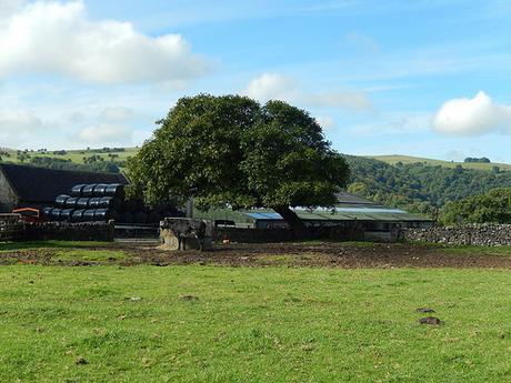
So, in preparation for this weekend; I initially had a shortlist of six walks, ranging from something like six-miles up to thirteen-miles. I managed to whittle this down to four but as the weekend drew closer, the weather forecast wasn’t improving and I knew there was an increased risk I might only get to do one walk comfortably…
In which case, I chose this walk as my No.1, largely due to the photos I had seen.
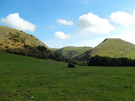
It took me a while to find the right car park. For one, I’d only quickly looked at the OS map, ‘memorised’ it and then set of quite confidently, with my SatNav leading me to a post code a little further on… Normally, I research such things a little more thoroughly with Google Street View. I ended up parked at a private car park for Dovedale, meaning I had to spend £2.50 for a day’s parking, which wasn’t at all bad… Except, had I parked only half-a-mile away at Llam Park, I could used my National Trust membership to park for free.
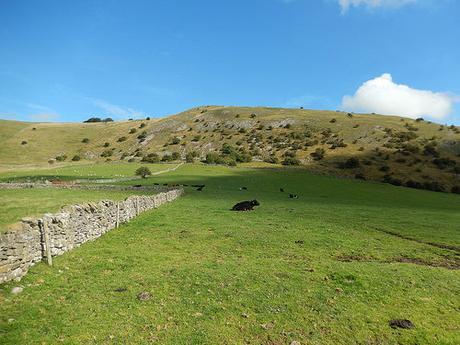
On his website, Mike doesn’t appear to give a directional indication towards which way he followed the route, while he states that he deliberately excludes any written guide so that you can enjoy and experience things for yourself. I decided from the sequence of photos that he must’ve walked it anti-clockwise from the start and I intended to do the same, even drawing a deliberate arrow on my map…
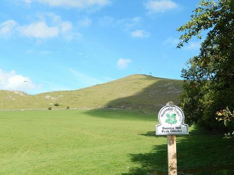
But in spite of all that preparation, I found myself instantly drawn to the hills, walking clockwise and on a circumnavigation of Bunster Hill before I even took note of the arrow I’d drawn!
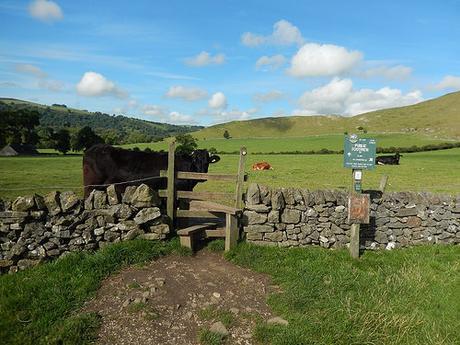
That cow did budge out of the way, as I waved my arms at him.
I didn’t fancy turning back, even only ten-minutes in and found the clearly depicted and waymarked right of ways to be extremely inviting. This is clearly a popular location for walking and tourism.
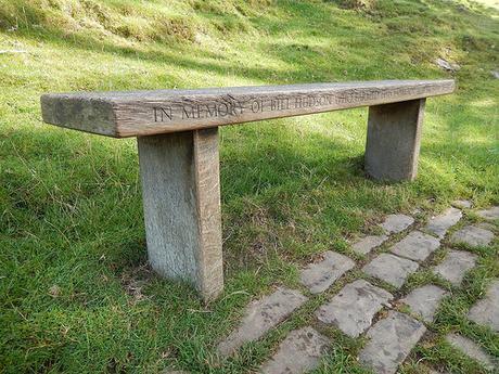
Quite often, you can find benches and memorials dedicated to individuals in the countryside but this bench was situated in memory of a man who farmed the very land for more than half a century and that seemed quite poignant to me.
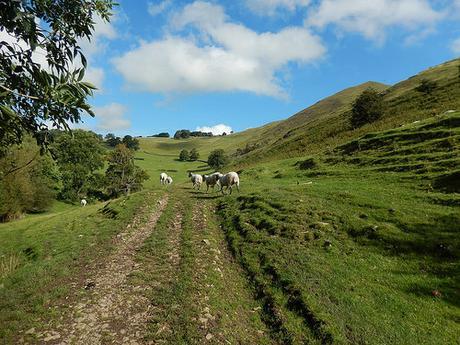
Having trailed the lower regions of Bunster Hill for so long, it was only inevitable that I would soon have to climb it to get up, over and on with the rest of the walk.
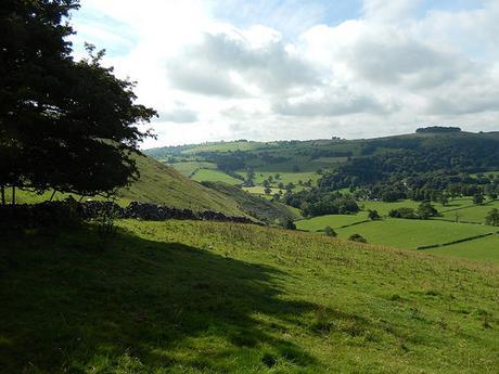
By now, I’d already lost all of the ‘tourists’ and no other walker was to be seen… I could understand why, as I huffed and puffed my way towards the top, stopping to “admire the views” on at least four occasions.
Close to the very summit, I realize I mis-read my map slightly as I came to a dry-stone wall with corners, no means of passing and even a it of barbed wire to deter you… I didn’t fancy walking back downhill to climb up the other side and so (cautiously) jumped it to meet up with the permissive route that lead towards a herd of intimidating black cows…
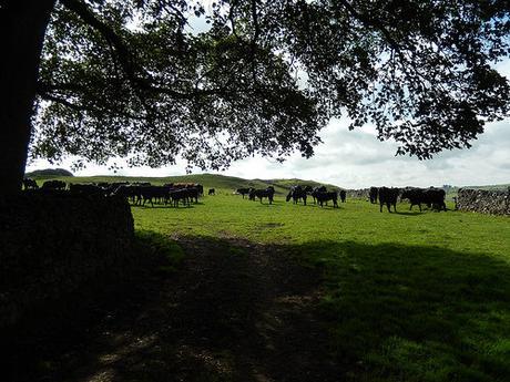
As I reached an opening in the wall, now on my left, the farmer passed by in his Landrover, giving me a “dirty” smile-less look at the same time… I’m not sure whether he was in pain or tired of seeing someone on his land… But his presence cleared a way through the herd for me and I was soon on my way towards Dovedale Wood.
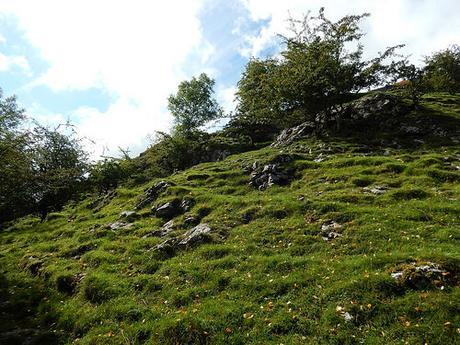
With the almost-mountainous landscape and slightly-treacherous path around and in to the woods here, I was reminded of Draycott Sleights on the Mendips. It was here that I passed a couple of walkers sat down enjoying a break – probably the only two people from this day who didn’t say hello or even acknowledge my presence.
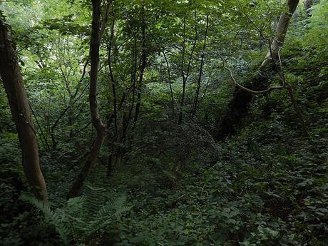
These woods retained a cool, refreshing shade and I was able to pick up the pace a bit, in spite of the severe drop down in to the valley or combe on my right. I managed to, just about, give way to a couple of (much friendlier) walkers by clinging on to a tree.
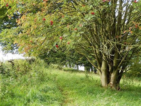
Shortly after that, I noticed a stile up to my left and, looking at my OS map, it appeared to make sense, in spite of a lack of waymarking…
But after squeezing through once fence and then reaching a load of overgrowth at the next, I check my compass to see that I was in fact walking off-course. I’d noticed that my previous path appeared to continue through the woodland and so decided to revert back to that course.
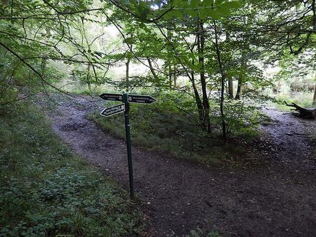
Now, I went the right way but I still can’t make any sense of it, looking at my OS map even now…
Where the path appears to simply follow the River Dove along its western edge; what happens in reality is that it begins to descend sharply, twisting and turning until you reach the above three-way junction at the riverside.
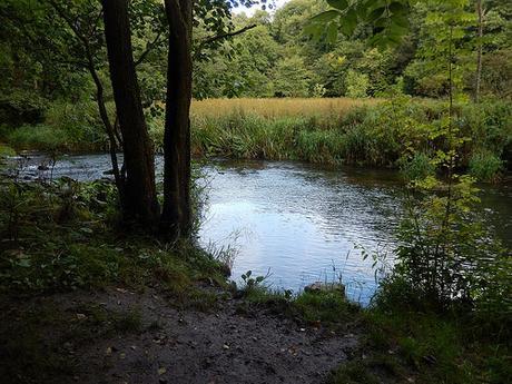
I’d passed a couple of other walkers on the way down but I’ll warn you now that these steps were slippery and I very nearly lost my footing on two occasions. I got the impression that might be ‘safer’ to climb, even though you’d have to exert more physically.
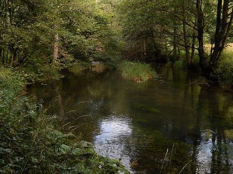
At the bottom, I stopped beside the river for five or ten-minutes to appreciate the tranquillity. I was alone, even though I could hear people across the other side of the water. Yet, I was still no more than a quarter of a way through the thirteen-mile outing.
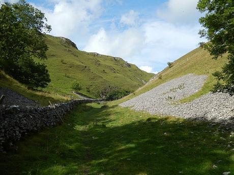
Next, I was walking along a beautiful valley known as Hall Dale.
…Dale. Before this weekend, I’d always thought of dale as being something akin to a large space of open land but looking at all these names, I couldn’t help but think how a dale looks very similar to a valley, which I’ve also learned is the same as a combe… Anyway, it looks as though ‘dale’ is another northern term for either of the other two.
I began to pass other walkers as I continued on towards the village of Stanshope. Every was friendly enough to say hello as we passed.
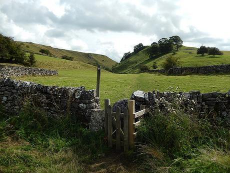
In so many locations on this walk, I found these minuscule gates that were a squeeze to get through. Upon closer inspection, they’re closing off an opening in the original stone walls, which must now help to keep sheep and livestock under control.
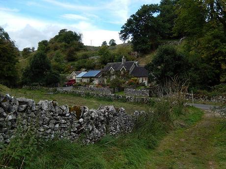
Then, I was heading up and over the western end of Sunny Bank, which was my second steep and challenging climb of the day. Part-way up, a man (possibly local) stopped to inform me there was an alternative route that was less steep, although more elongated. He also told me that both routes were slippery (almost as if he was a volunteer on duty) after the previous day’s torrential rain. In which case, I continued up the short-but-steep route, walking pole in one hand and made it to the summit in a couple of minutes.
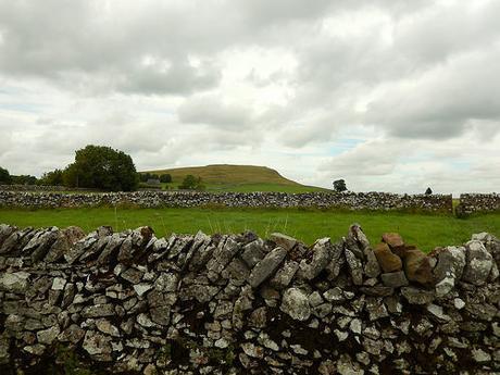
I overtook a group of walkers on the approach to Alstonefield, as we all became a little confused by an abundance of waymarks on one gate. Sometimes, it’s hard to know whether left and right arrows are pointing to this one of a fence or the other. After following the dry road for a while (using car park signs as a means of navigating the way on my map), I had another hill in sight.
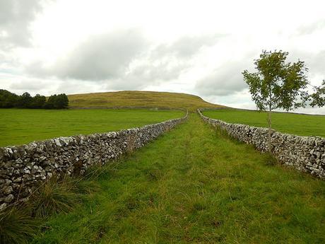
This was Narrowdale Hill. My intended route appeared to skirt around the south-eastern corner but, as I squeezed through a gate beside the double-gates, I noticed a sign declaring it was access land and then, I felt as though a climb to the top was now mandatory, in spite of a designated footpath. This climb reminded me of Brent Knoll but without the steps.
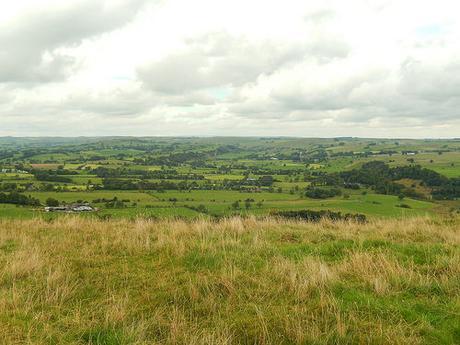
It was too breezy for me to stop for lunch and I hadn’t quite reached my halfway point. But the views from here here were outstanding, looking all the way north to the Dark Peak of Derbyshire.
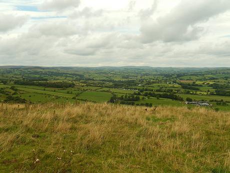
Skidding back down to rejoin the right of way, I realised I’d fortunately managed to avoid a herd of large cows as I continued to follow an unsigned path down through a farm.
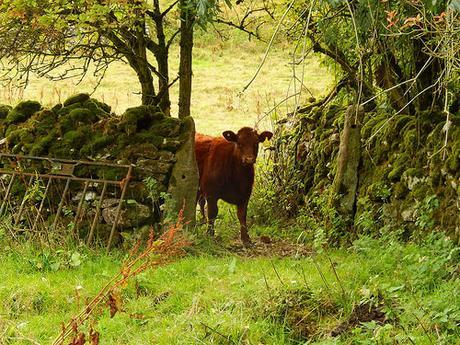
“Are moo going the right way?”
Having a map at hand appeared to be essential here, as I soon left the farm track through a succession of field gates – again, each one lacking even a single directional arrow.
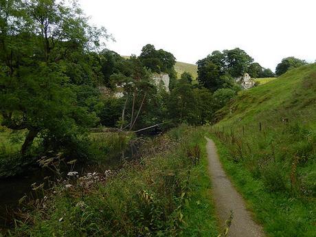
As limestone rocks came in to view ahead of me, I knew that I was close to the halfway point and I’d be able to rest for lunch, comfortable in the knowledge that I had come this far.
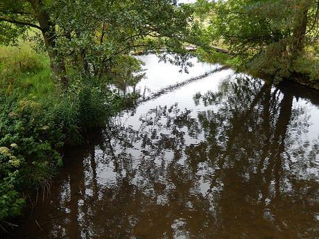
I very briefly followed a cycle path over a footbridge, which turned left where I went right in to the beginnings of Wolfscote Dale.
It was around this point that I’d hoped to find a large cave, which Mike had apparently used for his own lunch stop…
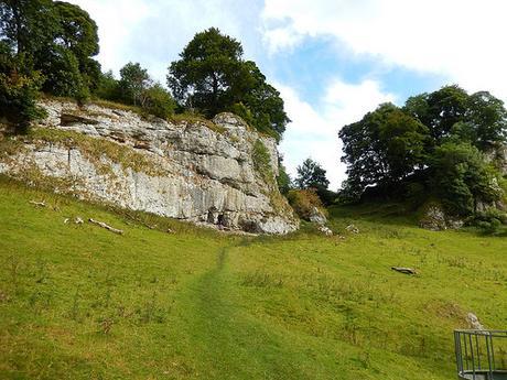
You can just see it, towards the end of the worn path. Sadly, a couple of others were occupying the space and didn’t move an inch throughout the thirty-minutes of which I was there, enjoying my own hard-earned and overdue sandwiches.
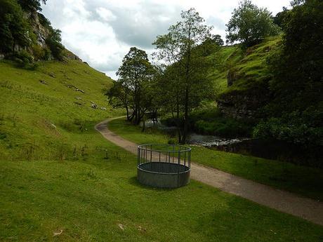
Still, my own view from this hillside wasn’t so bad. :-)
Thanks for reading. In Part 2, I’ll return about my return stretch through Wolfscote Dale and down in to Dovedale.
