It was in this month last year that I began going out for walks and mini-adventures. I’d just bought myself a new camera for this purpose (Nikon S8200) and, thanks to something within me, I’d decided that I was tired and fed up of waiting for someone to come along with me. It was time to start flying solo. Time to get out of the workshop and to start seeing life. I’m some way from trotting the globe but I’ve been able to see and experience a lot of the local hills and landscapes. From Somerset to parts of Bristol I’d not even heard of; east to the city of Bath and up as far north as Cheltenham.
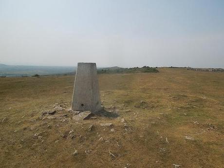
Crook Peak is in view, just beyond the trig point.
One of my most memorable walks is one that begins a mere fifteen-minute drive from my home and, as is my concept in submitting walks to the group I joined back in October or November; I’m looking to share this route with a group of people two-weeks tomorrow.
But my walk starts at the very bottom of this hill (or else, it wouldn’t be much of a climb); on a lay-by in the quaint village of Compton Bishop, just west of Cheddar. I owe thanks to the AA for inspiring about 50% of the route I intend to lead later this month. My earliest solo walks all came from maps I could download and print off from the internet. More recently, I’ve bought a selection of OS maps and I now look to create my own routes, which I feel speaks volumes for my increase in self-confidence.
AA’s Walk – Over Crook Peak and Wavering Down
Their route was very easy to follow and I enjoy the hike immensely. But, it was all over in a couple of hours… If I’m going to drag a car-load of people on a 30 minute drive down the A38, I think it would only be fair to try and offer them their time and money’s worth in miles covered on foot.
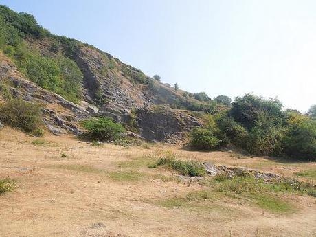
Another route I found in this area (from a book titled 8 Wild Walks Across the Mendip Hills) provides you with a loop around King’s Wood (just east of the Crook Peak) that takes in part of the Strawberry Line cycle track on your return. It didn’t quite add enough and so, when I set out for my official pre-walk a few weekends ago and, after studying my OS map; I decided that we’re heading off towards Cheddar for some more uphill ‘practice’ before the final climb up to the Peak.
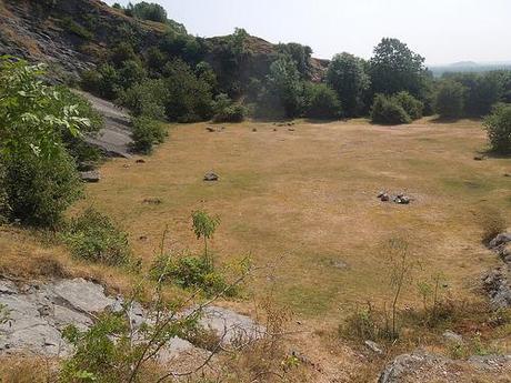
A dis-used quarry in the village of Cross, Somerset.
So, for the first hour, it was familiar territory along level terrain; crossing fields through the village. It was nice to revisit the area almost a year on and the route remained very easy to follow. About two fields before reaching the former-quarry you can see above, I encountered a couple of bulls with one of their young… It was a narrow field and both adults were close to my access point. One of them ‘mooed’ at me before I even reached the gate – I don’t know whether bulls actually ‘moo’ but that noise they make is so distinct that, along with the large ring pierced through its nose; you cannot mistake it for a dairy cow.
I’ve had to face up to my fear of cows in recent walks but bulls are new and frightening opponents for me. I survived this walk without any serious altercations. Neither of them took much noticed after I passed them and I was soon climbing the stile at the other end – ironically, the warning sign is only positioned at one end of this field!! These bulls were not there last year. I’ve been researching and reading a lot about what to do when a bull does turn of you and I’m feeling more bewildered than before!
Do I carry a large stick to beat it on the nose with?
Can I make myself big enough to stand off against and intimidate it?
What are my real chances of outrunning it and jumping a fence?
I hope I don’t have to answer some of those questions at the end of the month… It’s unknown how many people will decided to attend my walk but I may stop to take a majority vote at this point. If people not to pass through, we’ll have to backtrack a couple of fields and carry on along Webbington Road. Which would be a shame, as there’s a lovely field full of crops immediately after.
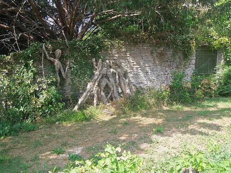
Spotted in the village of Axbridge.
Where the AA lead you on an arduous climb up through King’s Wood, I chose to carry on to the very end of the road and patiently over the A38 and in to Axbridge. From here on, it was new territory and a little bit of road walking, which I try to avoid.
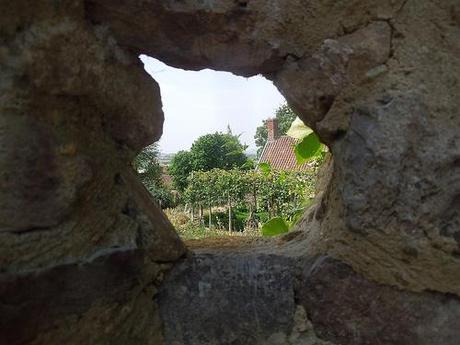
Wall without much of a view in Axbridge, Somerset just off the A371.
On my map, I could see where I wanted to go and the route I could follow that would eventually lead me up through a woodland area and nature reserve, just west of the Cheddar Gorge. Something about the road layouts and the intersections with the A371 confused me and I ended up ascending too early… I still found my way but I think I made a mistake in trying to follow the roads, when I should’ve been looking for a landmark, like a nearby church.
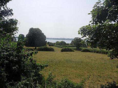
I’m so used to viewing Cheddar Reservoir from much higher ground.
Up in the woods and heading east, I took a right-turn too early. It didn’t appear to be visible on my map and even I felt as though I’d reached it too soon. I didn’t trust myself enough to carry on uphill and, in order to reattain my bearings, I arrive at another junction of the Strawberry Line, with a low-lying view through the trees to the edge of Cheddar Reservoir.
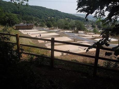
If I read my map correctly then, this is a yoghurt factory…?!
It didn’t take long for me to find where I should’ve returned downhill to the road and, shortly after that, the next vertical path that I needed to take.
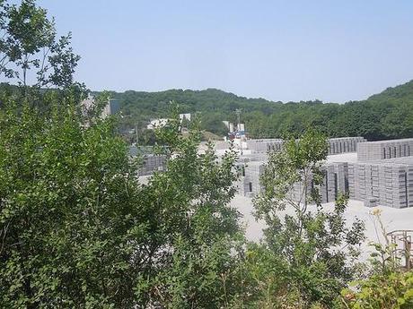
Passing a working quarry at the top of the hill near Shipham, before heading west.
I didn’t want to continue north to Shipham, where I would’ve been able to join up with the West Mendip Way. It looked as though I would’ve had to trek long more tarmac to get there so, I continued west… Along a path that also wasn’t made or mud or stone!
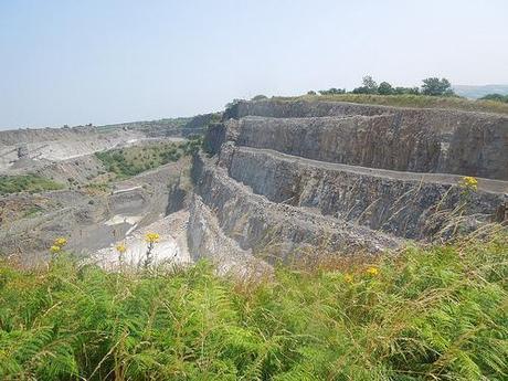
Before following the path around the limestone quarry you can see above, I stopped for lunch; seated in front of a metal gate, with warning signs of the danger zone beyond the fence ahead of me. As I finished my sandwiches on a baking hot day, a couple passed me, with the man jokingly offering me £10 for my half-empty refilled bottle of tap water! Yes, it really was that warm!
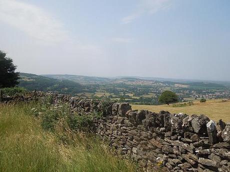
Looking north-west across Somerset, with Crook Peak out of sight.
From here, heading west along the heights of Fry’s Hill, the walk was level with views forming on either side. Following my map, there was a point where I want to divert north across a field to then link up with the West Mendip Way along Winscombe Drove. But I followed that field too far and only found a complete fence with hedging at the other end. Looking more closely as I retraced my footsteps, I realised that the gate I was searching for was hidden along the eastern fence, with the path cutting diagonally across the corner. But this was obstructed by a dozen ‘big black cows’… I came to learn a few weeks earlier that bulls and bullocks don’t necessarily have horns and so, I wasn’t going to take any chances. I went back to my original route following the Callow Drove track. Both paths lead to the same end point, give or take a few metres.
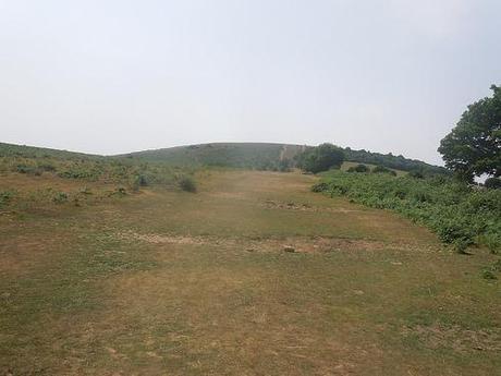
Climbing up from King’s Wood and on to Wavering Down.
Crossing the A38, I went on through the nearby car park and then began a climb up through King’s Wood; up and over large treacherous stones before breaking out in to the open space of Cross Plain.
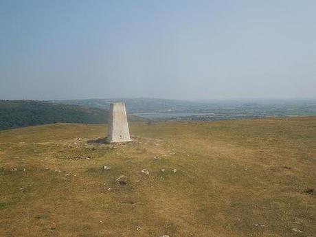
Keep an eye over your left shoulder as you carry on straight to pass the trig point and you’ll see the reservoir I glimpsed at earlier; along with much of Somerset in all its glory. You can see out as far as Glastonbury Tor on even a cloudy day but my camera wasn’t up to picking it out with all the sunlight and its scratched lens.
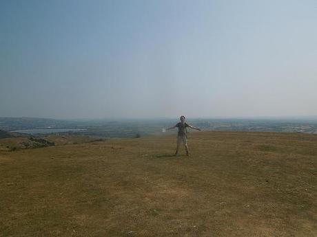
I don’t remember wearing shorts on this day – I’m usually much more considerate towards the comfort of my legs with the potential for long grass and prickly plants…
You have to then climb at least one more hill (I can never remember whether it’s two or not) before reaching the concluding climb up to rock-ridden Crook Peak.
Some of you may remember that I visited this area back in June (hence the shortage of photos now). It feels like it was closer to April but you can read about my Meditative Trial if you’d like to.
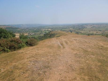
The final descent.
Returning to the car park looks straight forward; you just follow the path downhill until you reach the road. I didn’t even bother to look at my map for this and, for the second time in as many attempts; I ended up at least a five-minute walk east of where I hoped I’d come out! That’s one reason I’m returning to the area tomorrow; so that I don’t make a muppet of myself when I’m leading the way. I’ll also stop off in Axbridge to establish my firm route up and in to the woods.
I’ve been out walking again today and I’ll share that with you sometime soon. It just felt more apt to write about this one now. These photos have been online for a few weeks and I’ve only a fortnight before I need to be ready for my longest walk-leading experience yet, at around 11 miles. I’m sure I’ll have more to write about afterwards!

Thanks for reading.
