This is a walk that took place only two-days after my 21-mile trek around the northern end of the Quantocks. With a Bank Holiday weekend and a clear forecast, I was always going to look to make the most of my walking opportunities ahead, with the oncoming 30 mile march that is now, suddenly, only 9-days away at the time of writing! So, after 24 hours of rest, I decided that 11 miles would be a fair effort, bearing in mind that I would have to be in work for 7am the very next day.
Brent Knoll Hill in Somerset.
It’s not one of my own routes but one I found over on The Ramblers’ website. You may have to be a member to view and download it.
Brent Knoll is a hill I’ve visited several times in the past and, if you’re interested in perhaps a more manageable expedition for your first attempt then shorter walking routes are also available.
In its situation, you’ll find it’s only marginally attached from the Mendip Hills – just a stone’s throw north and over the estuary, you’ll find the village of Uphill, which will also mark the finishing point my 30 mile march next Sunday.
It’s worth a visit if you’ve not been before. Driving up or down the M5 motorway, you can spot it from miles away, long before you spy Cheddar Gorge or even Crook Peak, depending on which way you’re heading.
I decided to leave the hardest part until the end.
But finding a walking route of anything more than a few miles has always been hard (without membership to The Ramblers). Even devising a course on an OS map is tricky. One way, you’re faced with crossing a major A-road; the other, you appear to sail across open flatland in search of the coastline before returning. I’ve thought about leading a walk here many times but it’s been hard to find the inspiration.
As it happens, the author of this walk is someone I’ve met personally through my local walking group. In fact, he came on the last walk that I led (Lansdown) but I didn’t get a chance to talk or brag to him about having recently completed one of his routes! Having walked it for myself, I think he’s done very well to create a route that’s been entertaining and attainable, considering that are very few options for right of way in this nook of Somerset.
But where Harvey’s walk begins in East Brent, with an immediate southerly ascent up and over the knoll; I decided to leave the best until last by beginning in a known car park opposite a school in the village of Brent Knoll, just south of the hill.
Destination: Burnham-on-Sea.
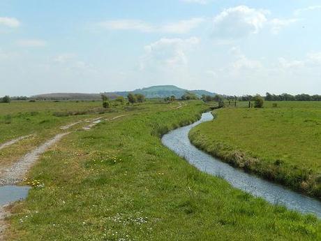
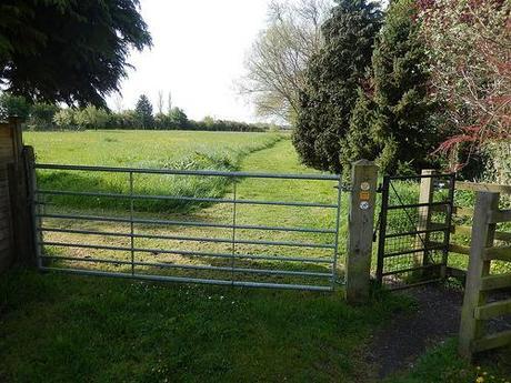
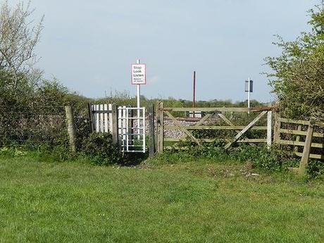
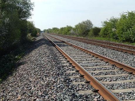
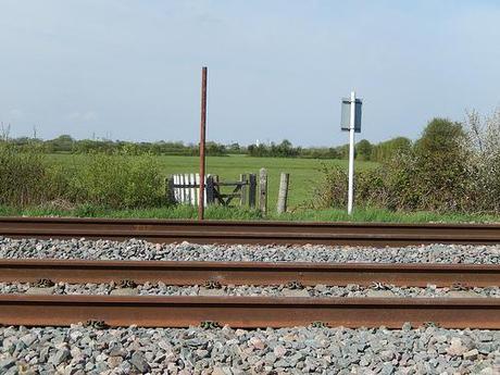
From there, you follow footpaths across expansive fields, crossing a rhyne by a footbridge before reaching the railway line, which you can see in the images above.
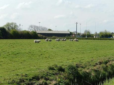
Before crossing over, I noticed that you could spot on of the (now-redundant) lighthouses, infamous as part of many coastline scenes from Burnham-on-Sea. For that was my next destination.
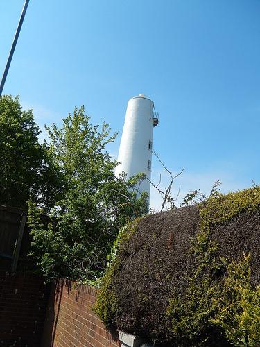
I remember leaving the last field to follow a track that suddenly led behind a relatively-new housing estate, down a lane and then, without much warning, I was on the main coastal road that connects Burnham, Berrow and Brean.
Heading south for a bit (it took longer in waiting to cross the busy road), I passed the same lighthouse, which is now someone’s home (that photo is the best view I could get without stepping on to their property). I’m sure I read somewhere that the reason for its decommission was that they suddenly realised it was too far inland from the shore to be effective…
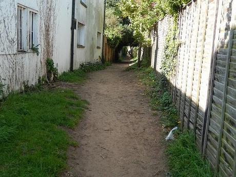
A little further and you turn right down a dead-end road, keeping an eye out for a footpath that emerges beside a hedge. This route eventually leads to the beach. I’m referring to the area as Burnham but it could equally be southern Berrow. This alleyway reminded me of a scene from Point Break. Except, this time, I wasn’t being chased by Keanu Reeves…
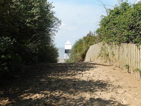
Stepping on to the beach, you immediately find the second lighthouse; the one which adorns many #burnhambeech and #berrowbeech images on Instagram.
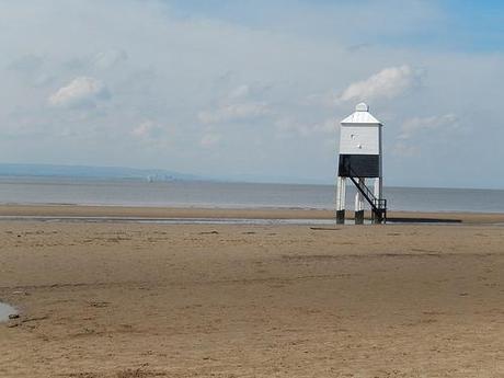
From here, I could look across the water and on to the Quantocks, just beyond Hinkley Point, where I’d spent the best part of a day, only 48 hours earlier. It was quite a feeling to have been able to explore both sides of this estuary in a single weekend. As far as I’m aware, parts of the coastal walk around Bridgwater have been inaccessible for the past 12 months.
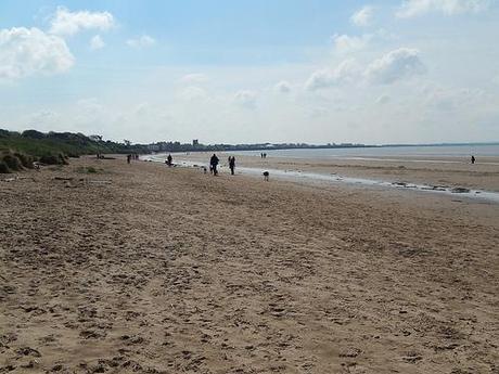
To the south, Burnham-on-Sea.
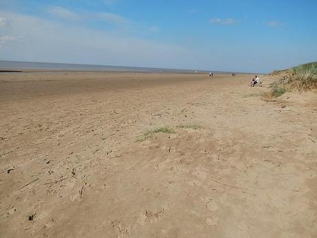
This walk continues north for almost 2 miles, with sand under foot. It was an expectedly busy day on the beach… With Brummies all over!
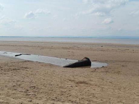
Somewhere along this stretch, during times of a low-tide, you can see the shipwreck from an old Norwegian (I think) vessel. Google can provide you with the evidence but on each of my recent visits here, the tide has been too high for me to notice.
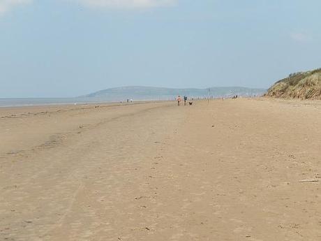
After the first mile and having turned the sweeping bend, the image of Brean Down shifts in to view.
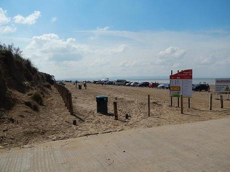
You then leave the sands upon reaching the car park, where you then attempt to cross the busy road for a second time, following the waymarked bridleway through a holiday park.
This was my only moment of misdirection during this walk and yet, it threw me off course for a good 30-45 minutes… As you enter the caravan park, the roads bends but the footpath disappears. I didn’t spot any waymarks and as I followed the tarmac around, attempting to correlate with Harvey’s words, as I then left the same park via another entrance, only to arrive 100 yards further south on the same road I’d departed 2 minutes earlier!
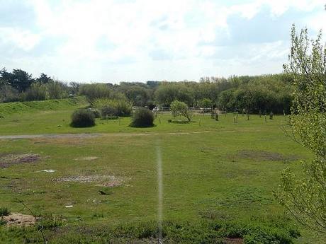
Opposite, I could spot another bridleway sign. I knew it was the wrong way. I knew I was again walking towards the Atlantic but hey, there was also a pond to my left as I climbed, which seemed to tie in with the instructions!
After exploring the area for a bit (since I was there) and making my way back across the main road (not before attempting to pass through a locked gate), I had to swallow my pride, to re-enter the park the same way in which I’d left it and, following a south-easterly direction as indicated on my OS map, I made a guess, took some chances, passed lots of occupied caravans before finally reached a sign that would lead me on to the right track.
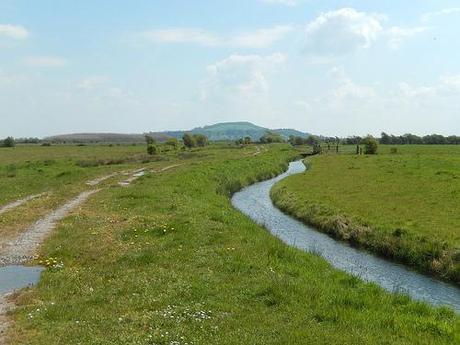
Just over another rhyne and a minor road, I decided to pause for lunch, with views of the mammoth to come, straight up ahead.
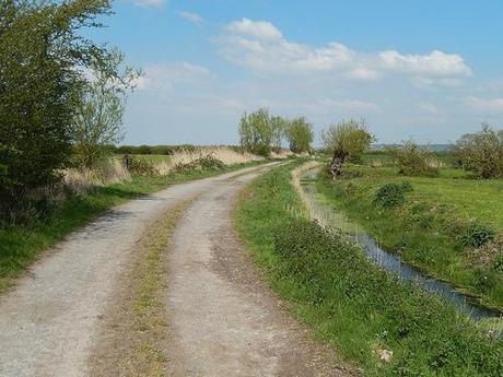
From here, the route becomes something I would not like to cross on a wet winters day. As the track diminishes in to the wetlands; while much of the mud was dry and safe under foot, it had clearly been churned up by the frequent footsteps of horses during the wetter months. It was quite uncomfortable, to say the least. Especially having to trek back across one stretch, as upon nearing the sound of passing cars, I realised I had walked too far along the lane.
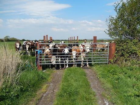
There’d been no animal interactions at this point. As I passed one field full with cattle, they all rushed over to greet me at the gate, as if I was some kind of attraction at a zoo… Or, perhaps, they could smell the apple core in my backpack!
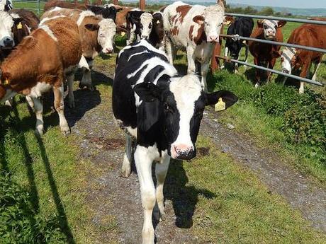
One first crept forward to investigate my outreached, welcoming hand… But this young one soon withdrew to rejoin the comfort amongst the herd.
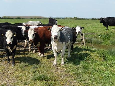
Two-fields further up the track and I had a similar encounter of the bovine kind.
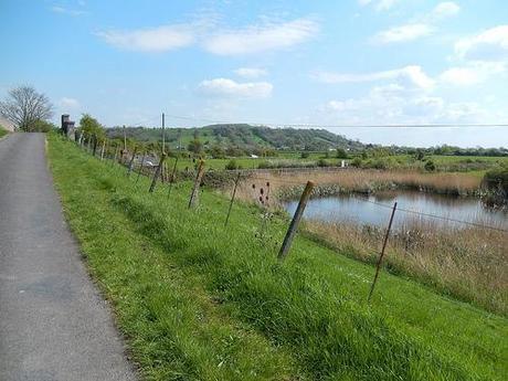
You can just spot the very summit of Brent Knoll from here.
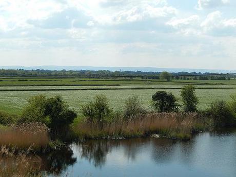
Leaving the lighthouse, Burnham and Berrow behind.
It wasn’t much further before I reached a lane and had arrived in East Brent, crossing the same railway line I passed earlier, this time via a road bridge.
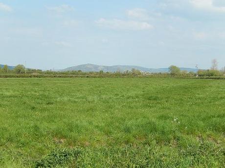
In one direction, I could spot Crook Peak and Wavering Down; both of which I’ll have to cross somewhere beyond the midway point next Sunday… But not as far as the end of the challenge!
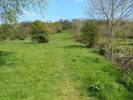
This was where the route began to ascend, even thought I wasn’t yet close to the main part of the ancient hillfort. It was, however, the first time I had reached for and used my hiking pole. I was impressed by the significant difference it made. Getting in to a rhythm was tricky at first but in using the added strength of my right arm, I was able to reduce pressure on my knees and, or so I felt, hike a little faster than usual up this near-vertical section.
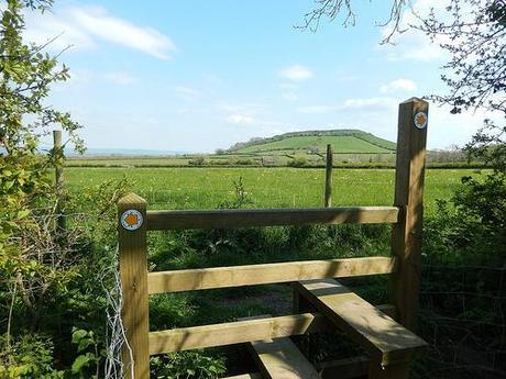
At the top, waymarks present with with a duo of options – neither of which appear to be headed for the knoll!
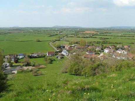
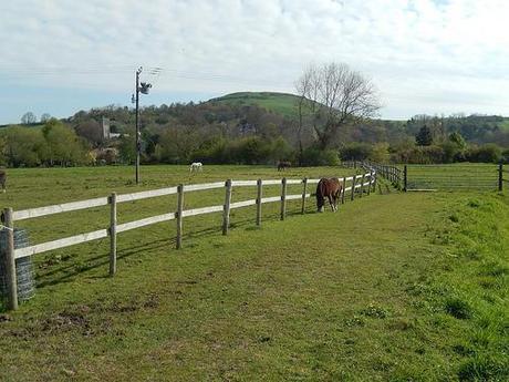
Already, from this point, you can look back along the return route.
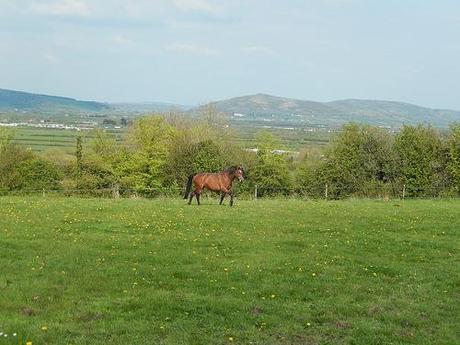
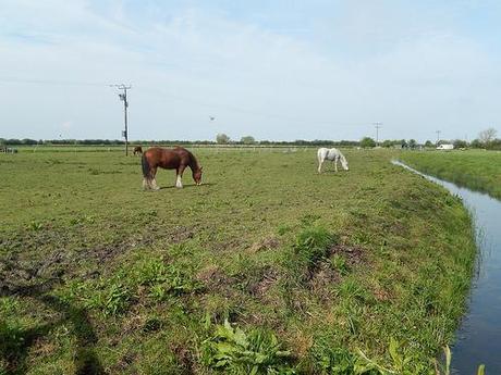
After all the cows, I passed a couple of docile horses, not to mention the odd flock of sheep, resting in the shade.
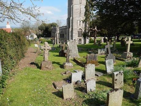
As the walk appears to level out at this point, you’re next guided downhill towards the village of East Brent via the churchyard. This is the public right of way. Often, they’re not as direct as we might like them to be but by the countryside code, we’re bound to stick to them.
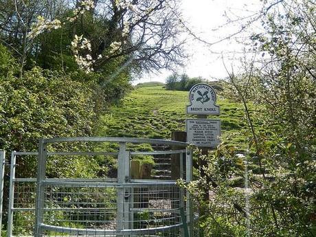
You then skirt around past a school playground before climbing gently to reach a gate that depicts the entrance to land owned by the National Trust; also marking the final climb to the summit.
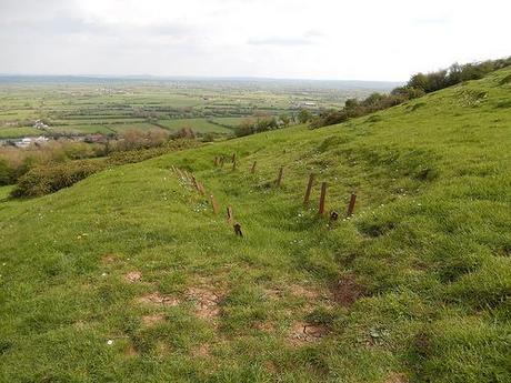
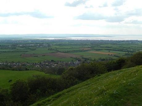
To the east; Glastonbury Tor.
I’ve now climbed Brent Knoll hill on several occasions and from each of two different approaches. One thing I’ve learned for certain is that, whichever way you walk and for its abruptness; the uphill jaunt to the top is intense.
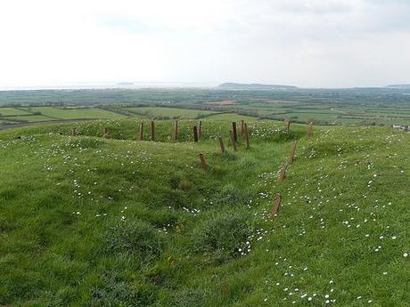
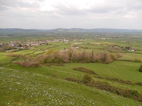
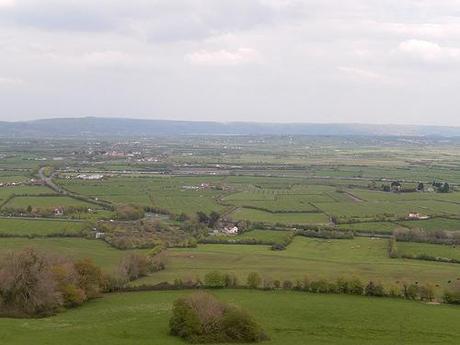
Cheddar Gorge and the Mendips.
At the top, for anyone who’s not been before, you’ll find a Jubilee Stone indicating the direction and distance of several other known landmarks in the region:
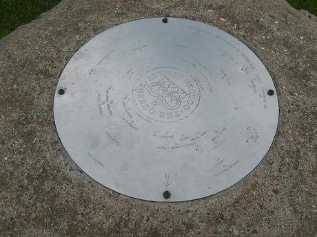
I think it’s fair to say I’ve covered almost half of them, on my local travels.
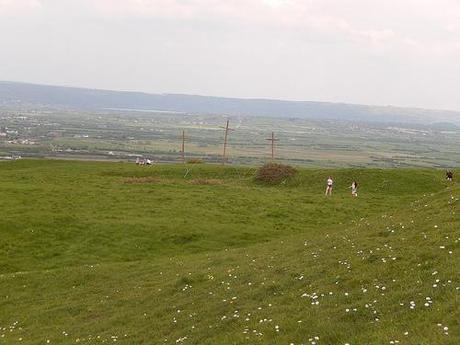
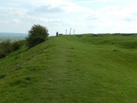
These crosses mystified me at first – until I realised that Easter Sunday had passed only a day earlier.
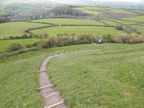
From here, it was a gradual descent in to the village of Brent Knoll, where I also happened to encounter a friendly interaction with a dog.
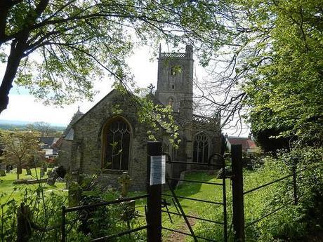
I took a trip through the churchyard on my way down, which I’d always bypassed on previous visits.
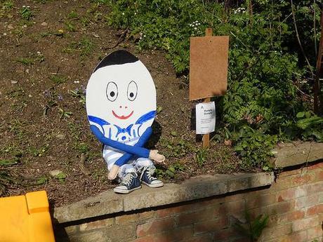
I also discovered a couple of children’s exhibits around the village, all sharing one common theme, which I’m sure also had some relevance to those crosses.
So, in spite of the sunburn searing in to the back of my next, I’d enjoyed this walk. Eleven miles was a fair distance to cover while on a wind-down for a week of working.
Thanks for reading and I’ll be back again with another walk.

