Tuesday 20th December 2016
Each time I entertain the thought of doing a walk that includes the village of Blagdon and its lake, I find myself tracing out a mostly familiar route and often starting from the same car park as before.
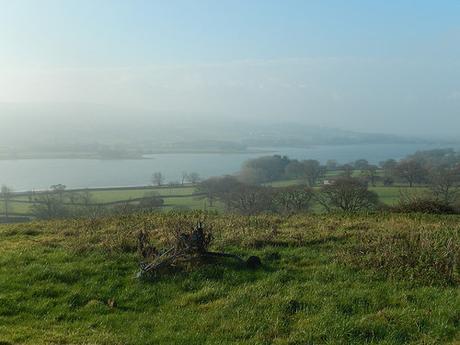
While the car park/start point would remain unchanged, on this occasion, I decided to venture a little further from the known paths.
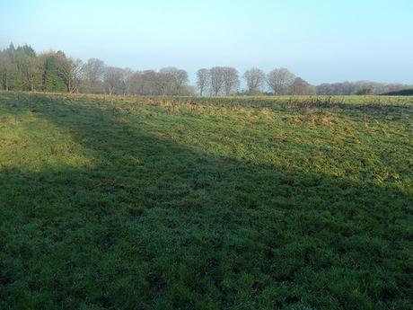
My walk began at Burrington Ham, which can be found at the top of Burrington Combe. There’s a car park here that fills up very quickly on a weekend, all year round. Cars often end up overflowing on to each side of the road. As this was a Tuesday (and a day off work), the two other cars beside belonged to dog walkers, who’d be long gone by the time I would return.
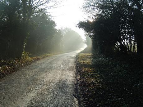
I think it was quite a chilly morning. Although, the sun was making a good effort to break through. I immediately picked up the Limestone Link path; soon heading east along Luvers Lane. At the end of this, I followed the road steep uphill in an ascent close to half-a-mile in length.
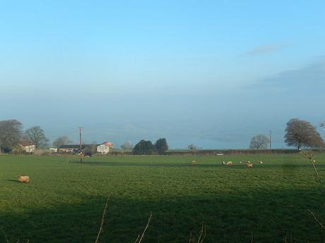
Turning off towards Leaze Farm, I could just see Blagdon Lake to the north. Two of my previous walks had suffered poor visibility. At least time, the views went on much further.
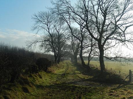
Beyond Ubley Hill Farmhouse, I would follow Green Lane, where sheep momentarily obstructed the way. There’s a permissive path nearby that isn’t shown on the OS map – it starts next to the marked ‘tumuli’, heading north before a right turn around the boundary of the plantation.
On the Mendip Hills’ website, there’s a Compton Martin and Yeo Valley route you can follow that appears to run along this permissive path.
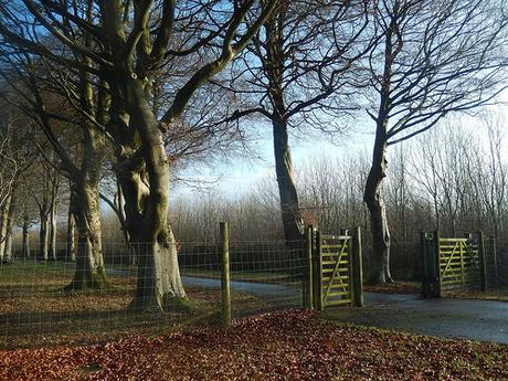
Near Hazel Manor, I’ve previously walked past these gates tall without passing through. Here, I was about to discover what lay beyond.
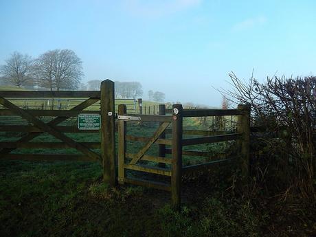
There wasn’t much to see of the manor house and a Bristol Water van drove up and down the road twice in the time it took me to follow. Above, you can see a photo of the eastern end of the aforementioned permissive path.
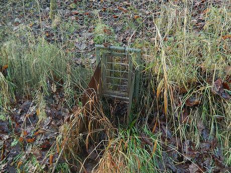
I left the Limestone Link ahead of Hazel Farm to begin a descent towards Ubley. Following the edge of the plantation, I notice this small gateway (for some form of willdlife), down to my left.
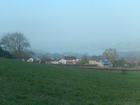
I could see Blagdon Lake again, amidst the light haze.
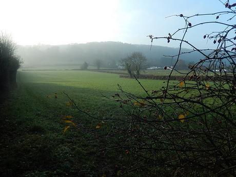
At the bottom of this hill, I would cross straight over the busy A368, close to Wood House Farm.
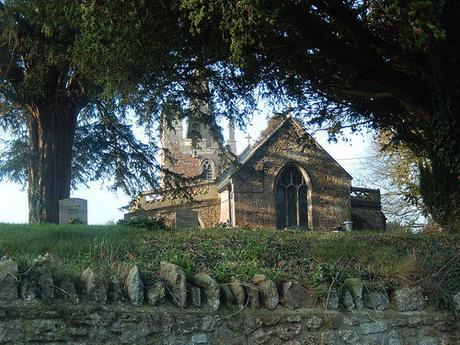
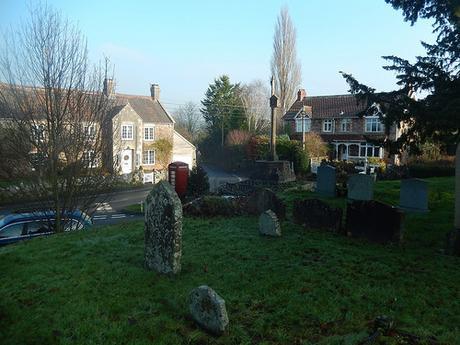
Gradually, I made my way in to the heart of Ubley, via a series of pleasingly uninhabited fields. This church was with a view, yet somewhat restricted, thanks to the large trees. Like the church I had visited at Aust near Severn Beach on another walk; this building sits upon a higher mound.
I know that Chew Valley Lake was constructed to ease the threat of flooding in the Chew Valley… Was Blagdon Lake built for a similar purpose?
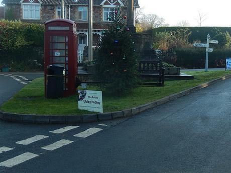
Ubley Publey.
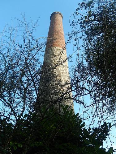
Sticking to the roads briefly, as I continued north and past the eastern end of Blagdon Lake; I stopped to admire this chimney towering from someone’s private garden… It’s very similar in appearance to one that can be found at East Harptree Woods. I felt it’s good to see that a private landowner hasn’t made an effort towards removing what could be an artefact of Mendip’s local history.
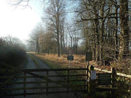
There is a public footpath running west from here, passing the southern edge of the lake. Every other route is labelled with ‘private’ signs, much like at Chew Valley Lake. A shame, as it’s a durable, surfaced path that continues for some distance and I know, from past walks, that I have seen wheelchair-pushers and dog walkers who probably haven’t purchased a permit.
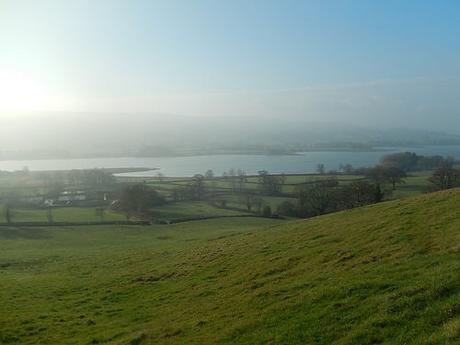
Continuing north, I would follow a series of footpaths climbing the hillside ahead, near Henmarsh Farm. As I reached the next road in Nempnett Thrubwell, I had a superb view overlooking the lake.
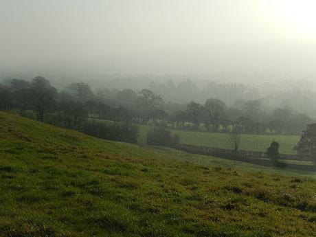
Further east and the sun casting through the mist had draped a veil over the landscape.
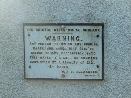
Heading west now, I had walked along this road once before and soon passed the familiar ‘Awkward Hill’ road sign. But I hadn’t spotted this old Bristol Water plaque.
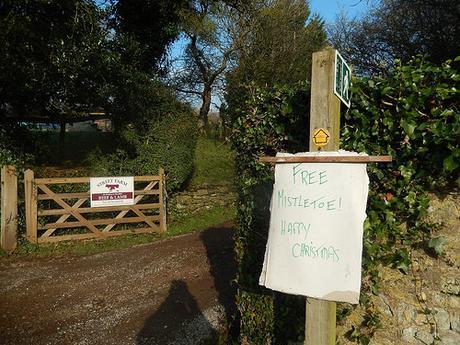
Further along this lane and there was the offer of free mistletoe, just days before Christmas.
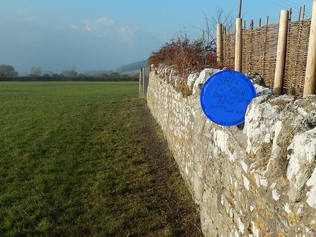
I left the roads via a narrow lane, which was headed with another sign, warning of: ‘No access to the lake’. I turned right on to a footpath, where I found yet another sign (albeit hand-written). I would see neither sheep or dog.
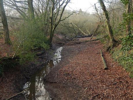
Continuing in this same direction, I soon reached the north-eastern corner of Blagdon Lake. From here, the path running to the lake is quite obvious.
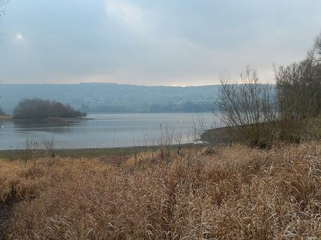
It also passes quite close to the water’s edge and, certainly, much closer than those few paths that border Chew Valley Lake to the east.
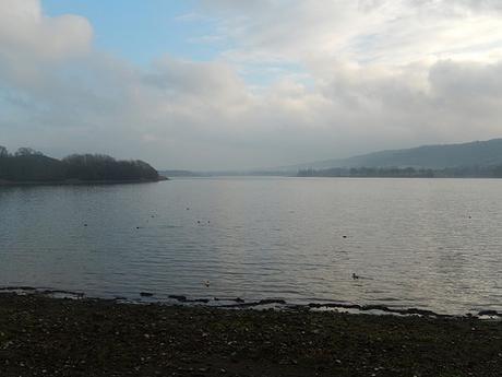
I stopped for lunch at one of the available benches, with calm views and very few other people about.
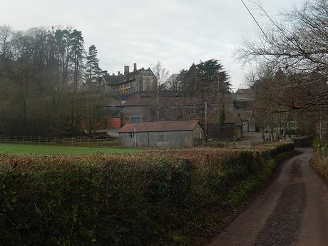
There was an almost immediate return to road-walking after lunch, as I continued steeply towards the village of Blagdon. Before which, I would turn west to cross a series of fields, heading in the direction of Rickford. Beyond this, I would rejoin the roads.
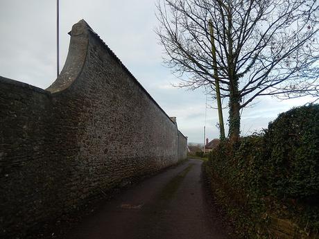
There was much familiarity to these high walls, as I’ve previously walked this way but in the opposite direction.
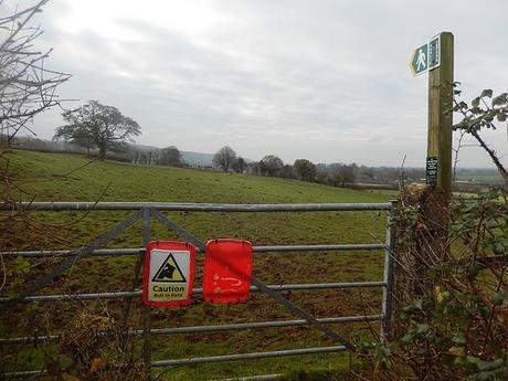
My first attempt to leave Bourne Lane resulted in great indecision, as I reached the unmistakable warning of what may lie beyond… But, in all honesty, probably doesn’t, at this time of year.
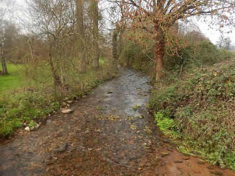
It was also a route I’d already followed and so, I continued along the road as far as Emley Farm. Across more fields, I met with a spring that feeds a ford running through Rickford.
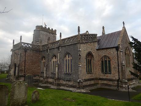
Further on and across the A368 once more, I would soon arrive in the center of Burrington (village – not to be mistaken for the well-known combe). There’s a church here that is worthy of many minutes spent observing its many exterior features.
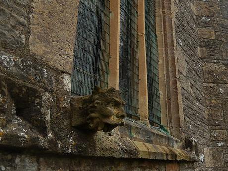
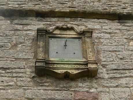
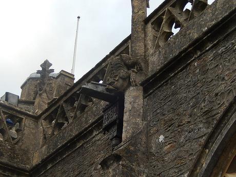
Opposite, there’s space for a small number of cars. Although not officially a ‘car park’, I’m potentially eyeing this up for the start point of future walk(s). Which would evade the need for the long ascent that was about to follow.
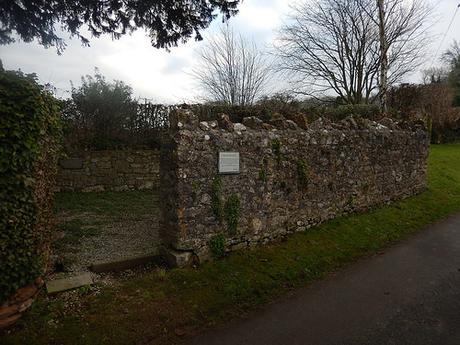
Just up the road from the church, you’ll find the the Village Pound, which might once have been used for holding livestock prior to sale, if not for containing the local village drunk.
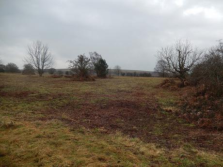
As expected, it was a tough climb to the top, with the expansive summit of Black Down visible across the combe. My car was awaiting me near the top, on a rare occasion where the ice cream van could neither be seen or heard.
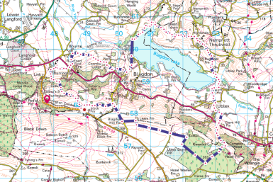
Image source: ordnancesurvey.co.uk
