Saturday’s walk, my first of the month, was inspired by a regular feature within the latest edition of North Somerset Life magazine, which was left on my doormat only two-days in advance.
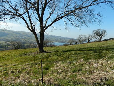
Their walks are usually of a more ‘accessible’ length and rating. But that doesn’t mean I have to follow the guide to the T – so, true to my nature; I decided to change the start point, alter the main focus of the route and then to extend it by a number of miles unknown before I would return to my car!
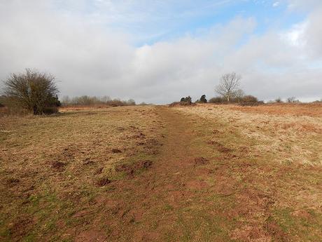
My walk began at the Burrington Ham car park, after a fairly early rise for a Saturday morning. You really need to get up early if you intend to reserve a space to park your car. It was two-thirds full when I arrived and that was only about 9.30am. By the time I returned to my car, five-hours later, cars were beginning to queue behind the ice cream van that can often be seen in this location.
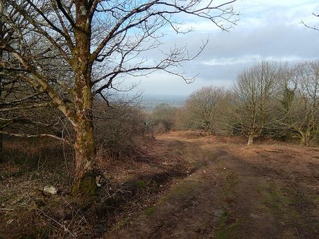
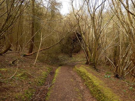
Following a route I’d not take before; I climbed up over the hill, to continue downwards on a fairly steep ascent; through trees and to emerge overlooking the village of Rickford.
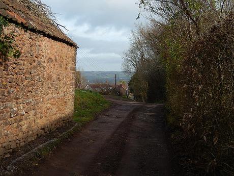
It’s quite strange to be living so close to a place I had never explored. For miles around, the landscape was otherwise very familiar.
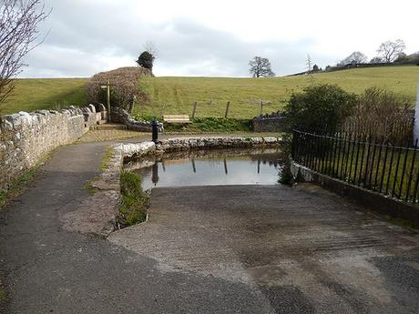
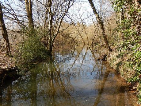
This body of water was what really attracted me to this route, after seeing the photos in the council’s monthly magazine.
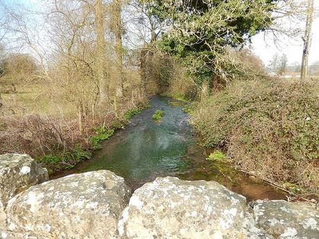
It’s the River Yeo, a little further on from the stretch I know too well.
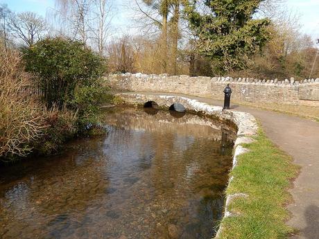
What’s more, this one continues up through the village and on towards the busy A368 Bath Road.
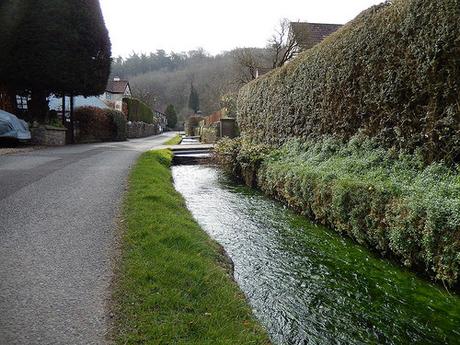
Instagram has this evening taught me that, had I continued to the main road and turned left, I might have been able to gaze at some mini waterfalls – in fact, having driven along this road many times now, I do believe I have at least glimpsed it.
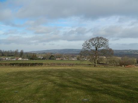
My path began to climb up and out of this village, moving east towards the next.
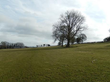
It’s easy to forget how ‘busy’ some of these fields might otherwise be, once winter has truly passed and the cattle are free to roam again. Before too long, we’ll be inundated with flocks of sheep and bleating lambs as well.
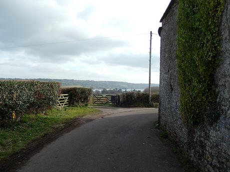
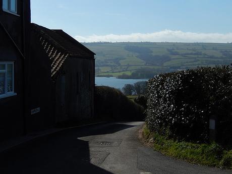
Fairly soon, I got my first proper glimpse of Blagdon Lake; the main focal point of this walk.
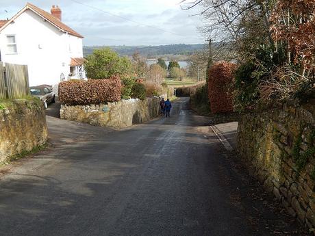
A little sunshine in March brings everyone outside.
I believe it’s been over two-years since I last walked in Blagdon. Last time, it was winter and I failed to find a vacant space within the village’s solo car park on my first attempt. You’re free to park in other areas, particularly close to the lake’s boundary (as some certainly do) but, of course, you must do so at your own risk.
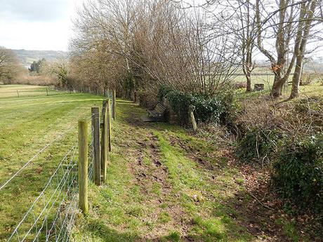
As on my last visit, which I’m certain was before I started blogging about my walks [has it only been two years?!], I followed Dark Lane which, despite its name, doesn’t appear to be well suited to any vehicle other than a mountain bike. On foot, you can avoid the majority of the mud by taking steps up to follow the same path along higher ground.
Maybe it was a popular route of passage in the days of the horse-drawn carriage?
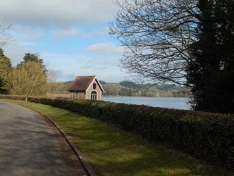
While the sun was certainly shining, I was not expecting such a crowd or turn out, so early in the day.
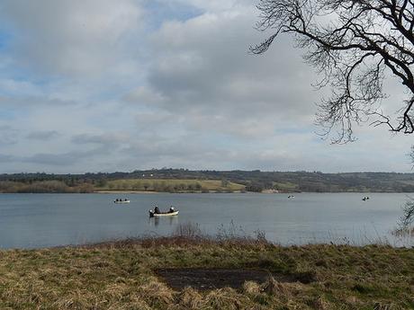
There were more than half-a-dozen fishing boats out on the water, with at least twice as many bodies setting up for the day along the northern banks.
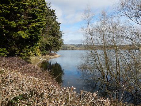
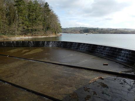
Along the western edge lies a dam with its own minuscule waterfalls on one side.
Last time I came here, it was awash with ducks, geese and probably some other birds as well. They weren’t to be seen or heard on this occasion; aside from the small numbers milling about in the water far from the footpaths.
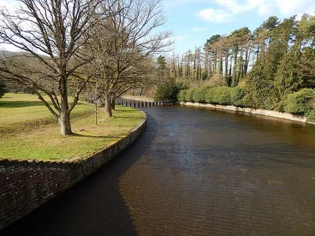
Shortly after this, an eastward-heading path begins that contours the northern half of the lake.
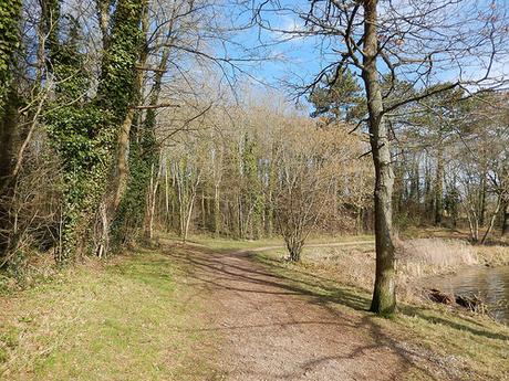
From here, the route becomes wooded on one side.
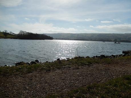
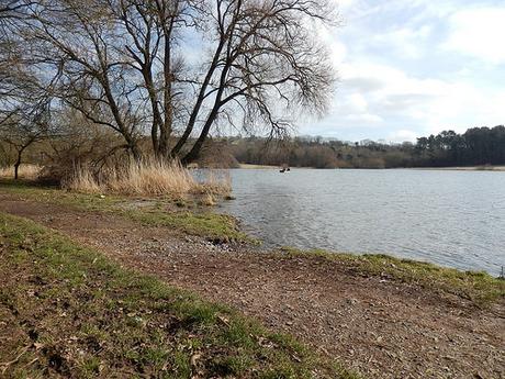
As you might also expect; the further you travel, the less populated the area becomes.
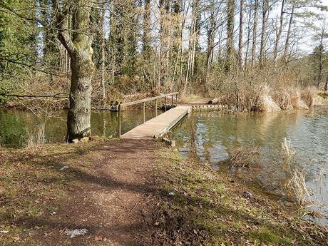
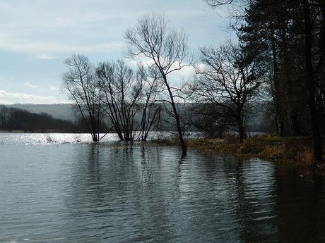
Beyond a series of footbridges, this path comes to its end near a ‘less-attractive’ portion of the lake and you end up reaching a country road on the outskirts of the village of Nempnett Thrubwell.
To me, it’s a real shame that there is no truly circular route around this lake for walkers. It makes me wonder where those mountain bikers were headed when I passed them… Later on in this walk, I discovered a tarmacced road or drive that does run close to the water’s edge. But, repeated signs warned that it falls upon strictly private land.
My intention from here on was to complete a full-circuit of Blagdon Lake. Staying legally along the public rights of way; as elongated as the journey was set to become.
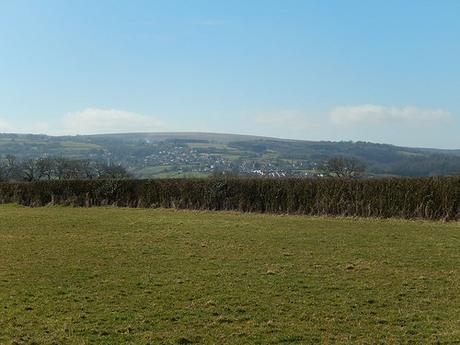
There isn’t much that I can say about this village, beyond repeating its wonderful name and typically ‘local’ title:
“Nempnett Thrubwell!”
When I lived even closer to Bristol Airport over ten-years ago now, I once took my dog on a seemingly-endless journey where we ended up wandering along country lanes very close to the route I took on Saturday… She never once complained and yet without the aid of a map, a compass or knowledge of exactly where I was; we made made it back to the A38 and all the way home.
Or was that Nempnett Ubley?…
At the far eastern end of this village, you could reach Chew Valley Lake. I wasn’t prepared to stray quite that far on this occasion but it does remind me of an intention for the summer ahead; to discover more of the 2 Rivers Way.
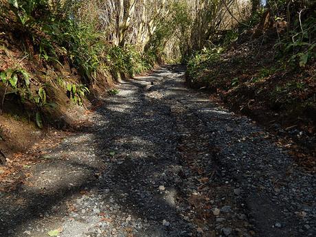
I took a turning up this steep and stone-covered path that appeared to be a bridleway. It must’ve been a great effort for whoever laid the stone along this route as it doesn’t appear to allow for vehicular access. Water, under the force of nature, has succeeded in eroding a channel down its center.
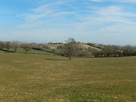
Reaching the top, I knew that I had climbed for as high as I would have to. At least until my return to Blagdon.
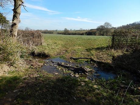
From here, I only wanted to continue east just a little further to catch up with the Monarch’s Way, which I have now met in several different parts of the region (not to mention much further south in Dorset as well).
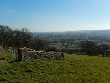
I followed this route south for the best part of a mile before setting off down a private road towards Ubley Park House. Views from here with superb and presented me with one of the finest sightings of Blagdon Lake.
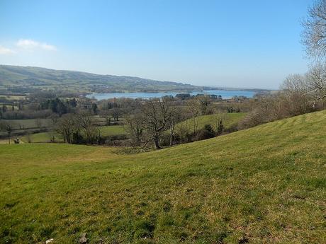
I struggled initially to hop over the double fence and follow the footpath in its south-westerly direction but with Blagdon returning to full view, I could sense an end to this enjoyable outing – and it wasn’t even time for lunch!
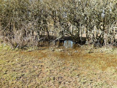
Making my way down to the northern edge of Ubley, I picked up on a path beginning beside the lake’s most easterly point. Under foot, however, I quickly discovered that this would be the most waterlogged section – and, perhaps, good reason why you don’t see many guided walks including a trip around the south side of the waters.
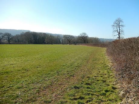
While this part of the walk didn’t lack any of the ‘experience’ of walking beside a lake; I was frequently starved and, disappointingly so, of clear views north and over the water.
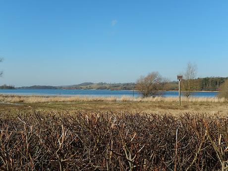
Moving along and I arrived at Holt Farm; an organic business that appears to be owned or working in co-operation with the local Yeo Valley factory.
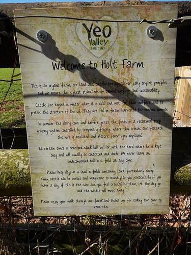
This was where I made a foolish mistake and endured a good twenty-minutes of awkward walking tightly between stock fence and a continuous hedge of blood-thirsty brambles.
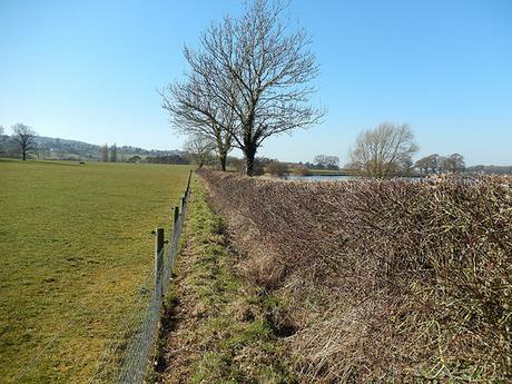
The fence posts, the wire… It all looked so new. I assumed (without consulting my OS map) that it was the right path to follow… Looking back now, I should’ve pushed open that kissing gate covered in stock-wire (right beside the sign above) and continued across the farmland. I presume then, that this boundary fencing is in place to prevent small livestock from wandering out towards the lake.
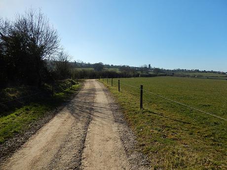
For much of this enduring stretch, I tailed in the shadow of a solid path, just the other side of the hedge; beyond those signs indicating that it was in fact private land… Yet, couples were strolling freely up and down. More men sat patiently aside their fishing rods… Were they all carrying these permits the information boards informed me were compulsory?! Perhaps I’ll never know. But when I came to a deadend along this “falsepath“, I was able to reach this road after vaulting (quite literally) over a post and wire fence that was above waist height!
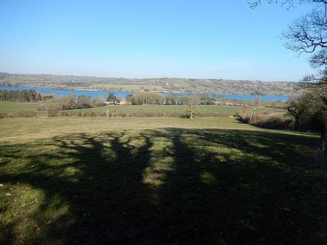
Ready to put that difficult experience behind me, I returned to Blagdon; knowing all too well that, sooner rather than later, I would have to climb back up the hill I earlier descended to complete my return trip to Burrington Combe.
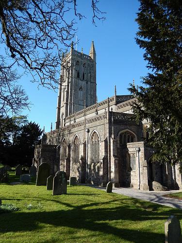
But before that, I had a quick bite to eat and took in a view of the local church.
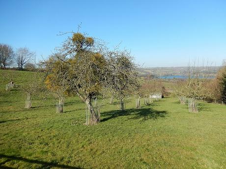
I also took the time to plot out the most minimally-severe return route I could see and, after climbing steeply up roads towards the Yeo Valley site, I managed to reacquaint myself with the Luver’s Lane/Limestone Link path that I used when heading out towards Ubley from the same start point sometime before Christmas.
I took a total of sixty-six photos on this walk and, if you would like to see them all then, please click here.
Thanks for reading!
