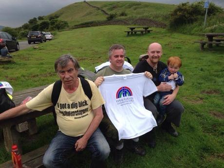
Me (far right with son) and my team at the end of 14+ gruelling miles.
I recently took part in the Cheshire 3 Peak Walk to raise money for Francis House Children’s Hospice. It’s a 14+ mile walk around Macclesfield Forest taking in three of Cheshire’s tallest peaks, Tegg’s Nose, Shutlingsloe and Shining Tor. If you want to read the full write up of the walk you can do so here.
This post though, is about the brilliant Google Earth fly-by video that is generated by the app I used to track our progress, MapMyRide. I’ve been using MapMyRide for a good few months but this is the first time I’ve logged into the site itself and this video just blew my mind.
While it won’t be a surprise at all for many MapMyRide users, if you’re looking for a fitness app to use, then based on this discovery alone I’d say MapMyRide is well worth considering. It’s likely other apps offer the same functionality…but as MMR is SO easy to use, I’m recommending it.
Here’s the video. It. Is. Awesome. (The super fast bit at the end is where my battery died and the drive home before I could power up and stop and the workout!)
As this walk was for charity I’d really like it if some of my readers could support us. There’s still time to donate via JustGiving or via text.

