My blog’s not as busy as it has been in the past but I do expect that to improve over the winter. Behind the scenes (as it were); there are lots of little things going on and I do have one or two big, half-expected announcements to make between now and Christmas… All in good time. My blog will always continue, even if the content happens to vary. Likewise, with my other social networks and of course, my YouTube channel; I will endeavour to keep them all alive.
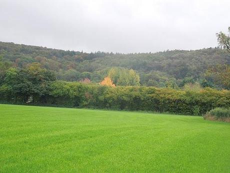
Searching for autumn up on the Mendip Hills…
I took some overdue time off work this week. My initial plan was to get out and to do lots of walking (it’s good for the mind and body) but with a consistent downpour until Wednesday, I felt defeated but eventually got around to assessing a couple of areas and making some tough decisions. Anyway, on Tuesday afternoon and in spite of the gray clouds overheard I thought, ‘Sod it!’, donned my waterproofs, grabbed my bag and went off for a short afternoon walk.
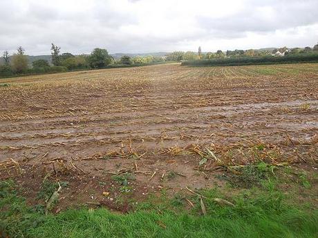
Oh, yes. It was muddy on Tuesday!
I decided to go up to the Mendip Hills in search of new-born autumn color. They’re local to me so it didn’t seem like a great effort to get out for a few hours, even if I was likely to get wet. This walk was inspired by a map I noticed in the local council’s monthly magazine about a year ago. It starts in Lower Langford near Churchill, crossed the A38 and then ventures up towards the hills, before looping back around.
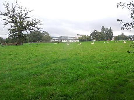
Passing Bristol University’s campus for the study of Veterinary Science.
It was only set out as 3 miles though and, well, that’s rarely enough for me! So I decided that I would continue along the basic route set out, but to include more of an exploration of both Mendip Lodge Wood and then Dolebury Warren.
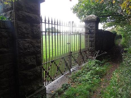
I found a space to park in a lay-by along the B3133, which runs back through Congresbury, and decided to drag the start point back a few hundred yards so that I could include a a few steps around the back of the local university campus.
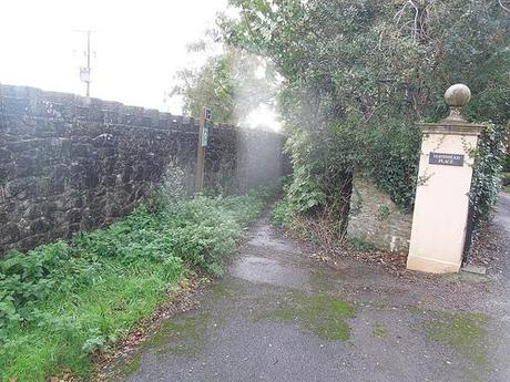
With the grand walls and large gates positioned to deter the average rambler, you’d think they were defending a castle or something. As the bridleway merges out on to the lane, you realize that you’ve also been walking beside a rather large house, who’s prominence almost seemed intent on hiding the public right of way to its side. At the end of this lane, there’s a rather large red house, who’s name I have forgotten:

A footpath continues opposite, down past a nursery, across a field and then on to the busy A38.
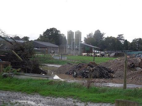
There’s always one cow more curious than the rest.
It had been raining quite persistently for several days before hand and that made the next few fields before reaching Bath Road (the A368) and the bridleway that takes you uphill and in to Dolebury Warren.
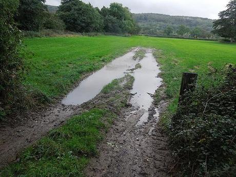
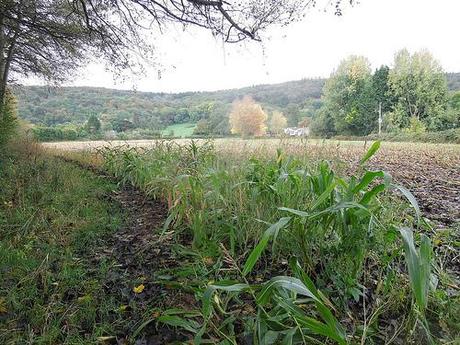
I did realising I was accidentally trespassing as I crossed the final field ahead of the road. This happens sometimes when you leave home without the correct OS map and the first part of my route is narrowly out of range from the West Mendip Hills map I was carrying. I should’ve followed the right-hand boundary in a previous field. A warning sign came when I passed the decaying corpse of a deer with half its torso missing (no photo, naturally) and then arrived at the other end to find only a hedge with no right of way. At least the old man on the other side didn’t stop me to say anything!
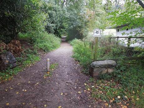
Entering Dolebury Warren from the A368.
From here, I turned left, heading east uphill, in to Mendip Lodge Wood.
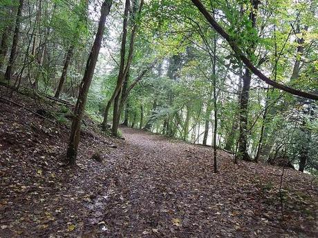
Walking through Mendip Lodge Wood.
My plan was to skirt around the perimeter in a clockwise direction, following the path as outlined on my OS map and joining the Limestone Link trail on a circular return through the warren.
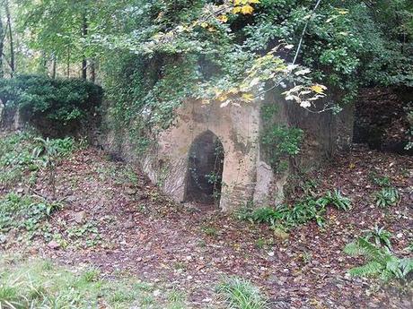
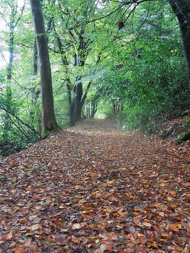
But I somehow missed my intended turning south and, in my attempts to rectify this with failed map-navigation, I soon founded myself trespassing (again) across private land. But with so many unmarked paths and no warnings until you discover a gate half a mile away, how are we to know?
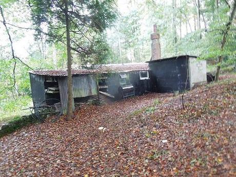
Is someone living here?
I came across several strange buildings like this before discovering a sign the other side of a large gate that warned I had crossed private land. Were people really living out here? Or are these buildings just for recreational use?
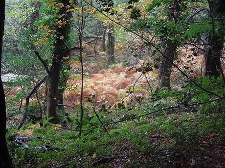
Autumn was certainly beginning to flourish in some parts.
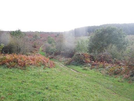
As I eventually connected with my intended route along the Limestone Link, I could see out towards the hills how it was all very much green Especially over at Rowberrow Warren, on the right in the background of the photo above.
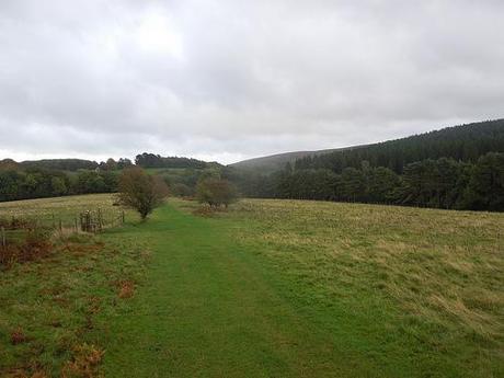
Stepping out on to Dolebury Warren.
Making my way west across the southern stretch of Dolebury Warren in search of the old hill fort, I was surprised by how open so much of this land is. I guess it’s another indication that I don’t read my OS maps properly! Having been to Rowberrow Warren a year earlier (full of trees and paths and that are less comfortable under foot), I was expecting more of the same from another warren. But this difference was pleasing.
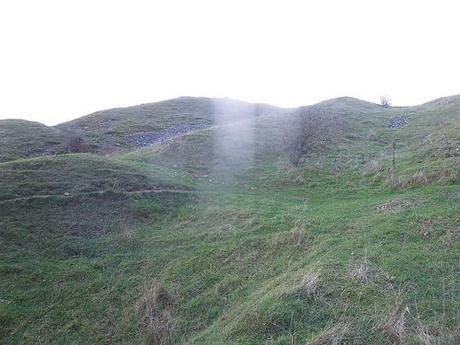
It wasn’t long before I came across the site of the former hill fort, with views stretching out across northern Somerset, to the Severn Channel and north towards Bristol.
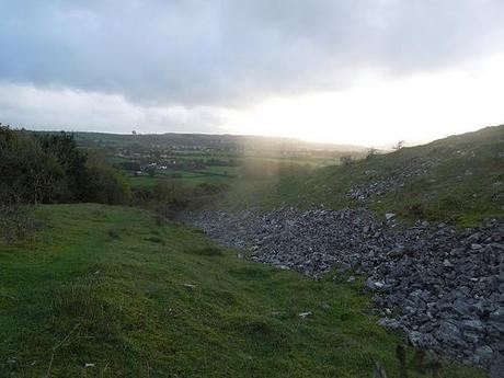
Looking south over Shipham, I believe.
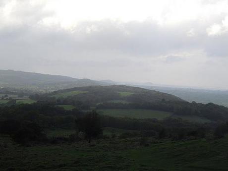
To the west, there’s Brean Down with Steep Holm further out at sea.
These ‘valleys’ of rock and stone reminded me of a trip to Exmoor with the group back in April.
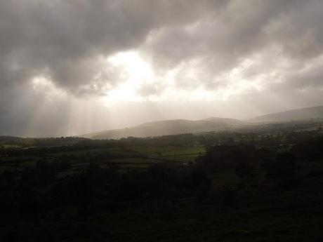
Wavering Down and Crook Peak, Somerset.
Of course, from this height, I could manage to obligatory shot of Crook Peak and Wavering Down; illuminated by the Heavens above. One day, I’ll understand how to master the white balance effects of a camera…
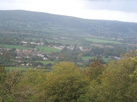
If you look above at this photo, those yellow buildings near the center of the frame belong to the university campus from the start of this walk. Squint left, across the field and to the left of that house, across the road… You might just be able to make out my van!

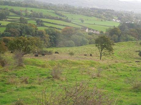
Time to turn back…
I’d intended to complete a full circuit of the hillfort but with the herd ahead of me (I seem to have more trouble with black cows than any other), I decided to do a U-turn but still able to return home along another route.
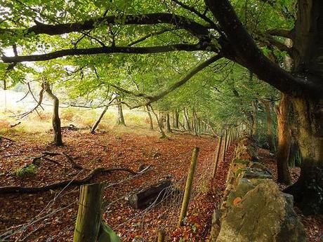
Along this path, I could continue in search of ‘The Lookout’, as it simply appeared to me on the OS map.

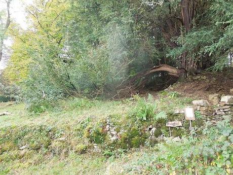
Site of The Lookout on the Mendip Hills.
It’s hard to capture the full scale of this landmark from such a close distance but it’s essentially an area of raised ground with a vantage point looking north across Langford and Congresbury. Work has been carried out in recent years to restore the drystone wall and, from what I read from a notice placed on the wall’s side, further work is planned to restore this site to its probably state of 200 years ago. All down to the efforts of volunteers as well.
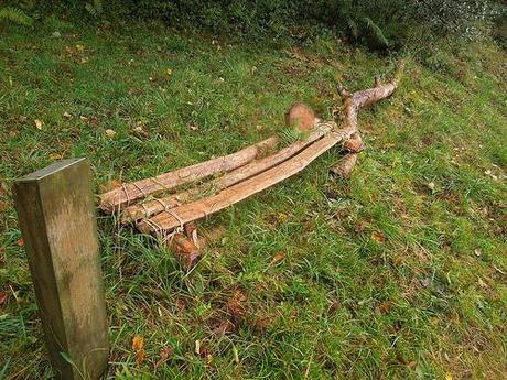
An interesting wooden bench, constructed and situated on the site of The Lookout.
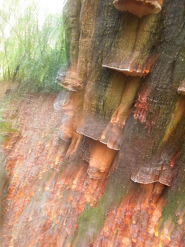
I actually really like the way this photo came out!

Further down the hill and I noticed fungus and mushrooms forming on several of the trees near the edge of the hill. I’ve noticed them in other parts of the region but they appeared to be a rare find up on the Mendips.
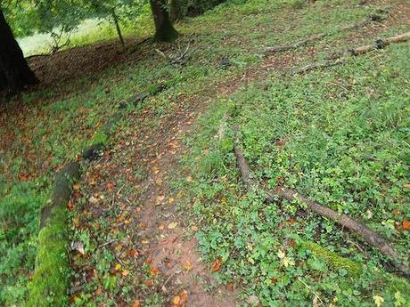
This may well look like a path, but I’m pretty sure it led to private land.
By now, is was beyond 5pm and the sky was growing darker. Not only did it remind me that I’ll need to be more ‘careful’ with my planning for spontaneous winter walks but it was also an indication of the downpour to come, as I returned to the A368 a little further west than before.
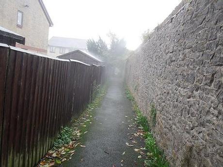
After crossing fields and then the A38 with care, I escaped the chaos of the major road in rush hour by using these local village footpaths before returning to the van. I’d begun the walk in full waterproofs thankfully so I didn’t look out of place with the rain that was falling at this point.
So, that was my four-hour excursion up on the Mendips. I doubt it was any more than 6 miles in length but it felt great to get out of the house, even if my boots are still drying as I type (I know this because I can smell them down beside me).
Thanks for reading.
