G. William Skinner's contributions to the China field were many (link). A great deal of current research in the China field builds on his regionalization theories. Key concepts like core-periphery structure, macroregions, transport costs, the questionable relevance of political boundaries, and economic integration implying social and cultural integration are all ideas that Skinner developed and that have been utilized in remarkably insightful ways by several cohorts of China scholars.
Other of Skinner's contributions might be mentioned with especial emphasis: his treatments of urban place and city hierarchies and micro-demographic and family patterns are relevant in particular.
But the central insight that has had greatest impact is the spatial ordering of social life created by transport and marketing. And Skinner's fundamental idea is that China's geography is better understood as a set of macroregions rather than provinces. Economic geography is more fundamental than political jurisdictions.
So it is worth asking to begin: what motivates and justifies this approach? The ideas are now common currency in China studies, but perhaps the rationale is less well remembered. What are the social mechanisms that work to create the dynamic and stable patterns Skinner hypothesizes? What concrete social processes work to create the core-periphery patterns that underlie the macroregions theory?
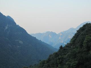
Transport cost, and the enormous efficiency of water transport, is particularly fundamental in Skinner's analysis of Ming-Qing China, as it was for Mark Elvin as well. China's system of navigable rivers and canals made some regions much more accessible to each other than others. And population followed this fact. (A recent trip to Hubei reinforced this fact to me: visiting the rugged terrain of Wudang Mountain made it very clear how extraordinarily difficult it was to transport heavy materials across China using traditional technologies and pre-modern roads.)
Soil fertility and agricultural productivity are related factors. High fertility supports dense population -- hence "core" defined in terms of population density. And fertility is related to rivers. Flood plains have natural advantages when it comes to agriculture. But fertility is related to social factors as well. High population density yields fertilizer in the form of night soil. It also creates demand, as Skinner observed, for fuel, which led to a transfer of nutrients from periphery to core. And agriculture is responsive to investment in infrastructure -- roads, irrigation, water management systems. But these investments are easier to gain in high density populations. This all implies a couple of important feedback loops: density =>; rising agricultural productivity => rising density.
What about the periphery regions? They lack water transport; there is less economic demand for roads; agricultural productivity is low; and peripheries are generally difficult for states to penetrate with civil and military force. So bandits, rebels, and anarchists can loiter there in reasonable comfort.
There is another aspect related to this last factor. Skinner pays less attention to it, but Jim Scott has made it a centerpiece of his recent thinking. This is the dynamic of agrarian state extension from fertile core to barren periphery (or highlands). Scott's analysis of Zomia is precisely a treatment of far periphery (link).
What are the social consequences of this dynamic process over time? There are many, but here are a few:
- Patterns of diffusion of ideas, movements, and goods.
- High barriers to state intervention in some places but not others.
- Separation of elite and plebeian cultures.
- And researchers have explored some of these dynamics with respect to topics ranging from the Chinese Revolution to technology change in agriculture.
