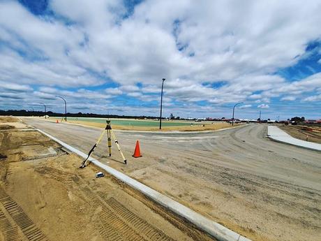
The boundaries of a property are formally defined by boundary surveys, which are largely focused on defining an acre of land's corners. Before purchasing, improving, dividing or constructing a land, boundary surveys are commissioned. Once a land surveyor has completed the boundary survey, then he/she creates a drawing on the surveyed space in Perth. Since the measurements must be exact, so only a professional should conduct the survey. The drawings done for the land-lot in question in Perth comprise of -

- Lot Dimensions - A lot's dimensions are the result of the deed, survey drawings and subdivision plats, showing the property's exact lines.
- Land Improvements - The boundary surveys include the improvements done on the land by its previous owners if any. These improvements include sheds, houses, pools, and garages along with relevant permanent changes done to the property.
- Fences - Usually, fences are used as methods for letting people know about their property's location. Nevertheless, the fences are rarely built on the property lines directly. Although the fences could be included in the drawings, they must not be counted as the property's outline.
- Easements - The land surveyors will include easements on the drawings if they are having a copy of the title commitment.
The Components of a Boundary Survey
The licensed boundary surveyors in Perth works on the boundary surveys by taking all its necessary components into action along with specific steps to complete the actual surveys.
- Registry Research - It is the very first significant component of the boundary survey. A successful survey will always need information about the deeds, so the land surveyors conduct extensive research in the county registry of deeds. Even private and public research is even needed for effective boundary surveys to gather all the vital information, which the registry of deeds failed to provide. There are various sources for private and public research, which include Municipal offices, state agencies, historical societies, other land surveyors, information from the owner of the abutting land and even the county commissioner's office.
- Deed Sketch - The land surveyor completes the research once he is done with the research. Next, the land surveyor creates a worksheet identifying all the record calls along each individual boundary line. Several boundary lines are having many different distances or calls over an extended time, so the research is a vital part of the boundary survey. When the research works with the original deed, then it is the best way for showing the original grantor's intentions for the property.
- Field Reconnaissance - It is the boundary survey's largest component. When the land surveyor is engaged in fieldwork, then the surveyor keeps on exploring the property, marking the corners by gathering all the necessary information for completing the drawings.
- Data Entry and Analysis - Once the data reconnaissance is done, the land surveyors enter and analyse the data. The data is reviewed and validated while its mathematical accuracy is verified. The land surveyor determines the aspects like easements, rights of way, corner locations, acreage, encroachments and more while conducting data entry and analysis components of the entire survey process.
- Final Plan Preparation - After the data entry and analysis are completed, then the surveyor starts to prepare the final plan containing all the findings and recommendations' results. The final plan is generally prepared to a standard for allowing the land surveyors for verifying the findings. The insured plan is a legal document prepared in compliance with the State Board of Licensure's requirements.
- Revisiting the Site - The final component is the land surveyor paying a visit back to the site to clearly mark the property corners and lines for the property owners. Even the markings denote the land has already been officially surveyed.
Knowing the locations of the boundaries is the basic part of owning a property. Arguments are sure to arise due to unclear boundaries, regardless of the property being a private property or a commercial property or else the land to be drilled and mined. As a landowner, you have to commission a boundary survey from a reputed boundary surveys agency in Perth to solve the conflicting views regarding the boundary lines.
