Here is an update on the manhole covers in Islington, all a short walk from Angel tube station.
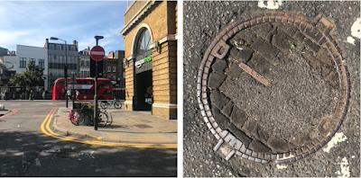
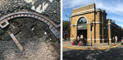
From the station, heading north, keep to the right hand side and as you pass The York pub you will find the first of the three within in the bend of the road just before the junction with Duncan Street. Two years ago I had reported that this one had been covered in Tarmac and was, therefore, no longer visible as seen here. But, good news, I noticed recently that the modern road surface is gradually eroding and quite a bit of the wood is now again visible. Hurrah!


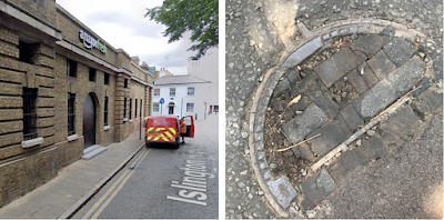
From there, keep heading north along Islington High Street along keeping the tram station to your left and mid-way along the building there is another one, as shown below in a screenshot from Google streetview adjacent to the offside rear wheel of the Royal Mail van:

Look closely to see that it shows more of the LCC TRAMWAYS mark along the center bar, as would most of the others of similar design. This one, and the one shown above are less eroded due to being on a back street.
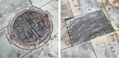
Finally, here is the third one, found by turning left at the end of the tram shed and then right in the main Road. The impressive circular plate is today set within the modern paving just before Pizza Express. It would have originally been in the road it but when the pavement was widened, the access holes were retained.

I am here pairing it with its close neighbour, a lovely oblong of striated paving stone, though I very much doubt that this slab will remain here as long as the man hole cover – I suspect it will soon be replaced before it becomes a greater trip hazard.
If you do spot any more remnants of outdoor wood surfaces to add to my London A-Z Directory of Woodblocks please leave a comment under this blog post or email me at [email protected]