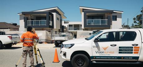
A developer willing to construct multiple homes on a large land plot needs a subdivision. Also, a private landowner who has to independently sell the land parcels, or a city in need of sectioning its boundaries requires subdivision.
In this discussion, we shall talk about the initial processes, commencing with surveying and engineering that anticipates the subdivision project management and subdivision development in Perth.

The "plat" is legal itself since it is an officially approved and recorded drawing depicting the land split layout, subsurface utilities as well as access points.
These are the steps, the surveyors and engineers take up for completing the associated deliverables with the subdivision project management.
This current data is most necessary for informing proceeding parties, like Computer Aided Designs (CAD), specialists and engineers creating exhibits and plans for the dimensions of the site lot, road utilities, building lines, water drainage and a lot more.
The registered land surveyors work closely work with CAD specialists for obtaining specifics as needed by the specialist since they need more information on or any other unique details meant for this site.
The draft plat exhibit will be outlining the property line, topography and conditions.
The engineer, simultaneously even derives the information from the initial survey for creating the preliminary construction plans, which are termed as preliminary engineering plans.
The construction plan addresses the infrastructure design, which comprises grading, stormwater damage, road utilities and more.
Once city planning and zoning approve the documents, then the documents are sent on to the County's planning and zoning department for the same need of reviewing, feedback and revisions.
Now, when the country planning and zoning, the documents are the last stop to be reviewed by the City Council.
Before submitting for final approval, the Land Surveyor signs the final plat. The final plat and plans, as the preliminary documents are again submitted through the same 3 steps reviewing process. Once the final plat and plans are approved, this time the governing entity will be signing off on the final plat, inferring the plat's final approval along with the final construction plans.
The Professional Engineer finally signs the final construction plans which the governing entities had approved. At this point, the developer could take the construction plans and go for bidding, by allowing different contractors to apply for the very work.
Subdivision Project Management entails a series of legal steps, and the vital part is surveying for subdivision, so they are quickly approved. Hence, it is a necessity that you have to hire a Registered Land Surveyor for surveying the complete subdivision of land.
