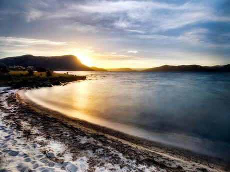
 State Highway 25 follows the Pacific Coast down to Waihi, where it becomes SH 2 and leads around the remote East Cape. We saw a lot of softly curving sanddunes, waves and puhutakawa trees, painting Red on the green hills with their flowers. We stopped at Matata, a cute DOC campsite with super friendly owners next to the Ocean. We didn't only get a night's sleep, but also a copy of the 'Pacific Highway travel guide' and two home grown Avocados for our supplies.After studying the guide we decided that the more interesting route would be the one straight through the middle instead of all the way around the cape. So we fueled up at Opotiki and turned inland to Waioeka Gorge. It was definitely a good decision in terms of views: Untouched bush on steep hills and a winding river always close.
 The Rainforest Route
 We skipped Gisborne and headed on towards the next big forest: Te Urewera National Park, a huge area of rainforest with the beautiful and immense Lake Waikaremoana in the middle of it.Beautiful as it is, the first thing we learned about the National Park gave us a good laugh: before we entered, we studied the 'Lonely Planet' and found out the meaning of the Maori name. Te Urewera litereally means 'The burnt penis'. Unfortunately it doesn't say why the hell you would give a forest that name. Maybe just to confuse or frighten the white settlers back then? Would be interesting to know :)
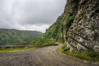
The Highway turns into gravel just before the National Park. It is marked as 'Te Urewera Rainforest Route' and stays true to its name. The first part follows the shoreline of the lake and offers stunning views at the wild hills and steep cliffs surrounding the water. Around the Lake winds one of New Zealand Great Walks taking about three to four days. It must be beautiful!
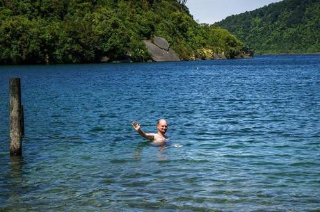
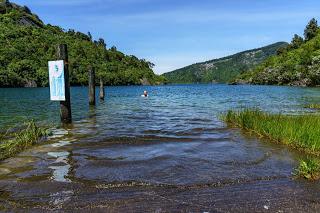 We stayed at a free campsite called 'Rosie's Bay' and had a swim in the lake the next morning.There are plenty of smaller walkways around there, too. We took one leading along several caves and through the bush around the camp site. There are also a few nice looking rocks around – the rockclimber in me immediately looked for bolts – but didn't find any.
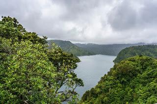 The National Park also has a huge motorcamp at the lake's shore, providing all different kinds of accomodation from motel to basic camping, has a small shop for petrol, food and drinks and brochures of the walks in the area. Petrol is really expensive there, though – only good for emergencies.
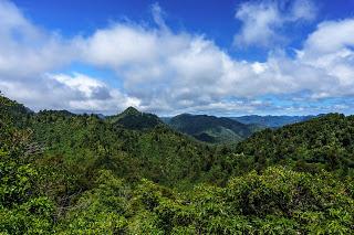
Further along, the road looks more and more like the 'Rainforest Route'. The bush gets thicker, the road winding up and down deep through the middle of the green endlessness. On our second day, we had the most fitting weather, hills partly covered in mist and rain, but clear enough to have some views over the lake and the forest. It was a great drive and probably the most interesting part of the eastern North Island.
