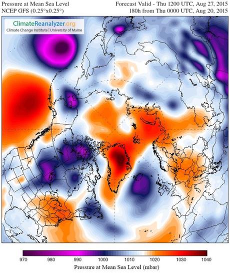
What does a Monster El Nino look like? In two words — climate change. And by the end of August climate change’s Monster El Nino may have spawned two strong tropical cyclones and hurled their powerful remnant systems into the Arctic.
The 2015 Monster
The Equatorial Pacific is cracking wide open. Heat, at near new records for August, is oozing out. In the Nino 3.4 zone last week, the heat bleed hit a new intensity of + 2 degrees Celsius above average. That puts our current El Nino easily in the running for one of the top three strongest. And the warming there is expected to continue through at least October — possibly setting up conditions in which the 2014-2016 El Nino is the most intense and perhaps longest-running such event ever seen. Sourced through Scoop.it from: robertscribbler.com
From the article: “Scientists have long warned us about this. Warned us that increasing global temperatures through ongoing fossil fuel burning could greatly amplify the intensity and the frequency of strong El Nino events. A recent paper published in Nature has continued this line of research finding that, under human-forced global warming, the frequency of strong El Ninos is doubled. And, right on queue, the 2014-2016 El Nino is shaping up to be one of the nastiest, if not the nastiest such event we’ve yet experienced.”

